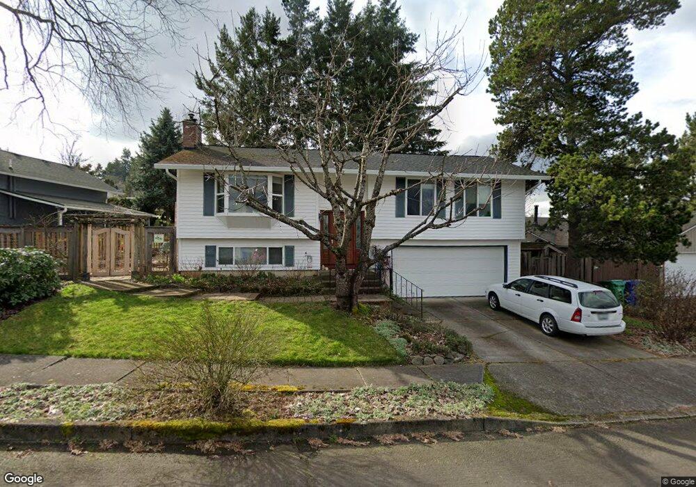
2039 SW Brixton Place Gresham, OR 97080
Southwest Gresham NeighborhoodEstimated Value: $480,818 - $524,000
About This Home
This home is located at 2039 SW Brixton Place, Gresham, OR 97080 and is currently estimated at $494,955, approximately $471 per square foot. 2039 SW Brixton Place is a home located in Multnomah County with nearby schools including Butler Creek Elementary School, Centennial Middle School, and Centennial High School.
Ownership History
We collect this data history from publicly available records. To have your information removed, we recommend requesting removal directly through your county’s website.
Purchase Details
Purchase Details
Home Financials for this Owner
Home Financials are based on the most recent Mortgage that was taken out on this home.Home Values in the Area
Average Home Value in this Area
Purchase History
We collect this data history from publicly available records. To have your information removed, we recommend requesting removal directly through your county’s website.
| Date | Buyer | Sale Price | Title Company |
|---|---|---|---|
| -- | -- | ||
| -- | Multiple |
Mortgage History
We collect this data history from publicly available records. To have your information removed, we recommend requesting removal directly through your county’s website.
| Date | Status | Borrower | Loan Amount |
|---|---|---|---|
| Previous Owner | $65,500 |
Tax History
We collect this data history from publicly available records. To have your information removed, we recommend requesting removal directly through your county’s website.
| Year | Tax Paid | Tax Assessment Tax Assessment Total Assessment is a certain percentage of the fair market value that is determined by local assessors to be the total taxable value of land and additions on the property. | Land | Improvement |
|---|---|---|---|---|
| 2025 | $4,484 | $236,770 | -- | -- |
| 2024 | $4,295 | $229,880 | -- | -- |
| 2023 | $3,867 | $223,190 | $0 | $0 |
| 2022 | $3,724 | $216,690 | $0 | $0 |
| 2021 | $3,738 | $210,380 | $0 | $0 |
| 2020 | $3,441 | $204,260 | $0 | $0 |
| 2019 | $3,358 | $198,320 | $0 | $0 |
| 2018 | $3,220 | $192,550 | $0 | $0 |
| 2017 | $3,113 | $186,950 | $0 | $0 |
| 2016 | $3,022 | $181,510 | $0 | $0 |
| 2015 | $2,941 | $176,230 | $0 | $0 |
| 2014 | $2,870 | $171,100 | $0 | $0 |
Map
- 3250 SW Binford Lake Pkwy
- 3198 SW 16th Cir
- 2650 SW 22nd Ct
- 3312 SW 26th St
- 3600 SW Brittany Dr
- 3621 SW 24th Terrace
- 2500 SW 15th St
- 2791 SW Myers Dr
- 2607 SW Pleasant View Dr
- 2263 SW Phyllis Place
- 2188 SW Binford Lake Pkwy
- 4115 SW 17th Ct
- 3678 W Powell Loop
- 2277 SW Nancy Place
- 3081 SW 31st St
- 2156 SW 14th Dr
- 2331 SW 27th Dr
- 2357 SW Linneman Dr
- 1944 SW 20th Ct
- 4077 SW Mckinley St Unit 37
- 2061 SW Brixton Place
- 2015 SW Brixton Place
- 2056 SW Tegart Ave
- 2024 SW Tegart Ave
- 2082 SW Tegart Ave
- 2024 SW Brixton Place
- 2097 SW Brixton Place
- 2058 SW Brixton Place
- 3174 SW 20th St
- 2086 SW Brixton Place
- 3190 SW 20th St
- 2010 SW Brixton Place
- 2110 SW Tegart Ave
- 2122 SW Brixton Place
- 2153 SW Brixton Place
- 2033 SW Eastwood Ave
- 2019 SW Eastwood Ave
- 2065 SW Eastwood Ave
- 2049 SW Tegart Ave
- 2148 SW Tegart Ave
Ask me questions while you tour the home.