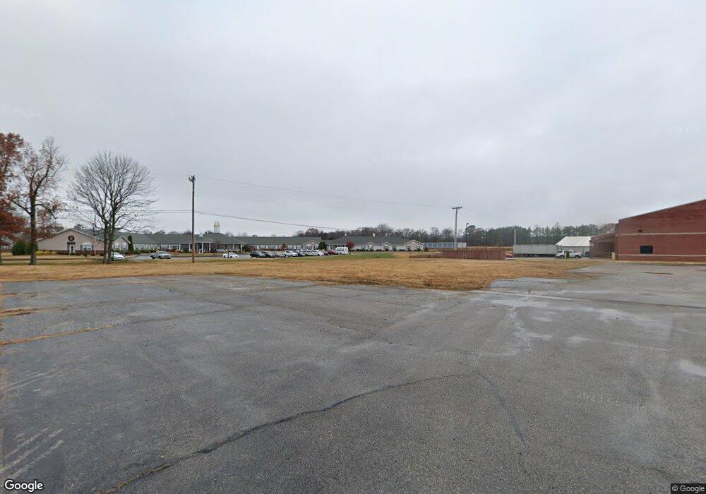
2039 Us Highway 641 N Murray, KY 42071
Estimated Value: $995,655
--
Bed
--
Bath
6,784
Sq Ft
$147/Sq Ft
Est. Value
About This Home
This home is located at 2039 Us Highway 641 N, Murray, KY 42071 and is currently estimated at $995,655, approximately $146 per square foot. 2039 Us Highway 641 N is a home located in Calloway County with nearby schools including North Calloway Elementary School, Calloway County Middle School, and Calloway County High School.
Ownership History
Date
Name
Owned For
Owner Type
Purchase Details
Closed on
Dec 2, 2021
Sold by
Clark John M and Clark Marie Theresa
Bought by
Djt Investments Llc
Current Estimated Value
Home Financials for this Owner
Home Financials are based on the most recent Mortgage that was taken out on this home.
Original Mortgage
$750,000
Outstanding Balance
$495,475
Interest Rate
3.09%
Mortgage Type
Seller Take Back
Estimated Equity
$500,180
Purchase Details
Closed on
Feb 28, 2014
Sold by
Homes Robin and Homes Tracy
Bought by
Clark John M and Clark Theresa Marie
Purchase Details
Closed on
Aug 14, 2009
Sold by
Clark John M and Clark Theresa Marie
Bought by
Holmes Robin and Holmes Tracy
Home Financials for this Owner
Home Financials are based on the most recent Mortgage that was taken out on this home.
Original Mortgage
$500,000
Interest Rate
5.26%
Mortgage Type
Seller Take Back
Create a Home Valuation Report for This Property
The Home Valuation Report is an in-depth analysis detailing your home's value as well as a comparison with similar homes in the area
Home Values in the Area
Average Home Value in this Area
Purchase History
| Date | Buyer | Sale Price | Title Company |
|---|---|---|---|
| Djt Investments Llc | $850,000 | Hopkins Warren K | |
| Clark John M | $625,000 | None Available | |
| Holmes Robin | $500,000 | None Available |
Source: Public Records
Mortgage History
| Date | Status | Borrower | Loan Amount |
|---|---|---|---|
| Open | Djt Investments Llc | $750,000 | |
| Previous Owner | Holmes Robin | $500,000 |
Source: Public Records
Tax History Compared to Growth
Tax History
| Year | Tax Paid | Tax Assessment Tax Assessment Total Assessment is a certain percentage of the fair market value that is determined by local assessors to be the total taxable value of land and additions on the property. | Land | Improvement |
|---|---|---|---|---|
| 2024 | $6,638 | $850,000 | $0 | $0 |
| 2023 | $6,859 | $850,000 | $0 | $0 |
| 2022 | $7,013 | $850,000 | $0 | $0 |
| 2021 | $5,299 | $625,000 | $0 | $0 |
| 2020 | $5,207 | $625,000 | $0 | $0 |
| 2019 | $5,168 | $0 | $0 | $0 |
| 2018 | $0 | $0 | $0 | $0 |
| 2016 | $4,975 | $625,000 | $0 | $0 |
Source: Public Records
Map
Nearby Homes
- 1005 Southwood Dr
- 906 Southwood Dr
- 1612 N 16th St
- 00 N 16th St
- 000 Keepers Way Unit Tract A
- 000 Keepers Way
- 1087 Poor Farm Rd
- 1417 Longwood Dr
- 0000 Brinn Rd
- 0 Chestnut St
- 363 Grant Rd
- 1201 Chestnut St
- 1 Logan Trail
- 300 N 8th St
- 0 Leisure Acres Lane Lot 8
- 904 Coldwater Rd Unit 900 Coldwater Road
- 0 U S 641 N
- 1105 State Route 121 N Unit 1163 State Route 121
- 805 Olive St
- 114 N 7th St
- 2039 Us Hwy 641 N
- 1813 N 12th St
- 1806 N 4th St
- 1707 N 4th St
- 1713 N 4th St
- 00 Us Hwy 641 N
- 0 Rd
- 2282 Us Highway 641 N
- 3911 Brinn Rd
- 3332 Us Highway 641 N
- 1701 N 4th St
- 2333 Us Highway 641 S
- 2331 Us Highway 641 S
- 330 Utterback Rd
- 1606 N 4th St
- 1300 Diuguid Dr
- 1700 Bourland Ln
- 1701 Bourland Ln
- 2957 Us Highway 641 N
- 2957 Us Highway 641 N