20394 Pinto Rd Caldwell, ID 83607
Estimated Value: $3,952,198
Studio
--
Bath
53,000
Sq Ft
$75/Sq Ft
Est. Value
About This Home
This home is located at 20394 Pinto Rd, Caldwell, ID 83607 and is currently estimated at $3,952,198, approximately $74 per square foot. 20394 Pinto Rd is a home located in Canyon County with nearby schools including West Canyon Elementary School, Vallivue Middle School, and Vallivue High School.
Ownership History
Date
Name
Owned For
Owner Type
Purchase Details
Closed on
Jul 2, 2013
Sold by
Ibi Llc
Bought by
Dave & Tom Of Idaho Llc
Current Estimated Value
Create a Home Valuation Report for This Property
The Home Valuation Report is an in-depth analysis detailing your home's value as well as a comparison with similar homes in the area
Purchase History
| Date | Buyer | Sale Price | Title Company |
|---|---|---|---|
| Dave & Tom Of Idaho Llc | -- | Titleone Boise |
Source: Public Records
Tax History
| Year | Tax Paid | Tax Assessment Tax Assessment Total Assessment is a certain percentage of the fair market value that is determined by local assessors to be the total taxable value of land and additions on the property. | Land | Improvement |
|---|---|---|---|---|
| 2025 | $26,821 | $5,209,750 | $1,092,050 | $4,117,700 |
| 2024 | $26,821 | $4,937,100 | $914,000 | $4,023,100 |
| 2023 | $20,794 | $4,670,900 | $914,000 | $3,756,900 |
| 2022 | $20,794 | $3,765,210 | $830,910 | $2,934,300 |
| 2021 | $25,574 | $2,948,400 | $244,700 | $2,703,700 |
| 2020 | $28,867 | $2,747,900 | $244,700 | $2,503,200 |
| 2019 | $33,265 | $2,822,770 | $256,570 | $2,566,200 |
| 2018 | $36,840 | $0 | $0 | $0 |
| 2017 | $37,516 | $0 | $0 | $0 |
| 2016 | $38,528 | $0 | $0 | $0 |
| 2015 | $36,747 | $0 | $0 | $0 |
| 2014 | $34,935 | $2,458,630 | $192,430 | $2,266,200 |
Source: Public Records
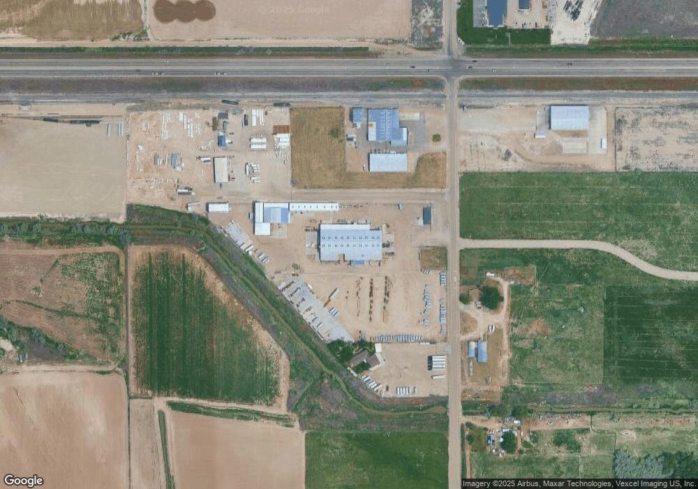
Map
Nearby Homes
- 18396 Lower Pleasant Ridge Rd
- 19391 Pride Ln
- 19276 Quarter Mile Ln
- 19288 Majestic View Place
- 19234 Top Rd
- TBD Deer Flat Rd
- 20371 Red Top Rd
- 23274 Stonewater Ln
- 21364 Beechcraft Cir
- 0 Beechcraft Cir Unit 98967299
- 21313 Beechcraft Cir
- 21371 Beechcraft Cir
- 21567 Main St
- TBD Simplot Blvd
- 21238 Rosewood Dr
- TBD Oakwood Dr
- 21301 Cessna Ct
- 21350 Cessna Ct
- 12904 Ashfield St
- 13684 Higley Ct
- 20249 Pinto Rd
- 20334 Pinto Rd
- 0 Pinto Unit 98575103
- 20152 Pinto Rd
- 19011 Simplot Blvd
- 10300 Desert Sage Ln Ln
- 19372 Lower Pleasant Ridge Rd
- 2184 Tunnel Rd
- 20026 Pinto Rd
- 19186 Lower Pleasant Ridge Rd
- 20771 Pinto Rd
- 19094 Lower Pleasant Ridge Rd
- 19560 Lower Pleasant Ridge Rd
- 18490 Simplot Blvd
- 19409 Lajolla Ln
- 19793 Simplot Blvd
- 19163 Lower Pleasant Ridge Rd
- 19335 Lower Pleasant Ridge Rd
- 19335 Lower Pleasant Ridge Rd
- 18954 Lower Pleasant Ridge Rd
Your Personal Tour Guide
Ask me questions while you tour the home.