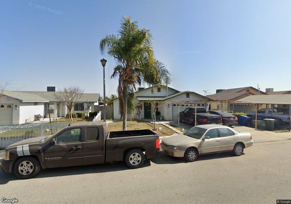
204 10th St Mc Farland, CA 93250
Estimated Value: $264,025 - $318,000
3
Beds
2
Baths
999
Sq Ft
$286/Sq Ft
Est. Value
About This Home
This home is located at 204 10th St, Mc Farland, CA 93250 and is currently estimated at $285,756, approximately $286 per square foot. 204 10th St is a home located in Kern County with nearby schools including McFarland High School.
Ownership History
Date
Name
Owned For
Owner Type
Purchase Details
Closed on
Feb 4, 1998
Sold by
4 H Development Inc
Bought by
Aguilar Jose M and Aguilar Maria S
Current Estimated Value
Home Financials for this Owner
Home Financials are based on the most recent Mortgage that was taken out on this home.
Original Mortgage
$29,300
Outstanding Balance
$5,164
Interest Rate
6.95%
Mortgage Type
Seller Take Back
Estimated Equity
$280,592
Create a Home Valuation Report for This Property
The Home Valuation Report is an in-depth analysis detailing your home's value as well as a comparison with similar homes in the area
Home Values in the Area
Average Home Value in this Area
Purchase History
| Date | Buyer | Sale Price | Title Company |
|---|---|---|---|
| Aguilar Jose M | $72,500 | American Title Co |
Source: Public Records
Mortgage History
| Date | Status | Borrower | Loan Amount |
|---|---|---|---|
| Open | Aguilar Jose M | $29,300 | |
| Closed | Aguilar Jose M | $43,200 |
Source: Public Records
Tax History Compared to Growth
Tax History
| Year | Tax Paid | Tax Assessment Tax Assessment Total Assessment is a certain percentage of the fair market value that is determined by local assessors to be the total taxable value of land and additions on the property. | Land | Improvement |
|---|---|---|---|---|
| 2025 | $1,417 | $115,730 | $23,934 | $91,796 |
| 2024 | $1,391 | $113,462 | $23,465 | $89,997 |
| 2023 | $1,391 | $111,238 | $23,005 | $88,233 |
| 2022 | $1,355 | $109,057 | $22,554 | $86,503 |
| 2021 | $1,284 | $106,919 | $22,112 | $84,807 |
| 2020 | $1,238 | $105,824 | $21,886 | $83,938 |
| 2019 | $1,167 | $105,824 | $21,886 | $83,938 |
| 2018 | $1,152 | $101,717 | $21,037 | $80,680 |
| 2017 | $1,122 | $99,724 | $20,625 | $79,099 |
| 2016 | $1,106 | $97,770 | $20,221 | $77,549 |
| 2015 | $1,085 | $96,303 | $19,918 | $76,385 |
| 2014 | $1,039 | $94,417 | $19,528 | $74,889 |
Source: Public Records
Map
Nearby Homes
- 314 8th St
- 450 8th St
- 539 11th St
- 737 Misty Ave
- 124 4th Place
- 0 W Sherwood Ave Unit 202506495
- 0 W Sherwood Ave Unit 21453658
- 13271 Garzoli Ave
- 733 Ensenata Dr
- 249 Robertson Ave
- Floorplan 2000 AP at Tierra Del Sol
- Floorplan 1700 at Tierra Del Sol
- Floorplan 1810 at Tierra Del Sol
- Floorplan 1523 at Tierra Del Sol
- Floorplan 1320 at Tierra Del Sol
- Floorplan 1275 at Tierra Del Sol
- 583 Taylor Ave
- 1043 Moscato St
- 830 Davis Ave
- 852 Butte St