204 Albertson St Mantoloking, NJ 08738
Estimated Value: $6,536,093 - $9,144,000
7
Beds
9
Baths
8,264
Sq Ft
$921/Sq Ft
Est. Value
About This Home
This home is located at 204 Albertson St, Mantoloking, NJ 08738 and is currently estimated at $7,607,698, approximately $920 per square foot. 204 Albertson St is a home located in Ocean County with nearby schools including G Harold Antrim Elementary School, Point Pleasant Beach High School, and St. Peter School.
Ownership History
Date
Name
Owned For
Owner Type
Purchase Details
Closed on
Dec 27, 2021
Sold by
Norbert Walsh Twenty Five Year Trust
Bought by
Walsh Property Trust
Current Estimated Value
Create a Home Valuation Report for This Property
The Home Valuation Report is an in-depth analysis detailing your home's value as well as a comparison with similar homes in the area
Home Values in the Area
Average Home Value in this Area
Purchase History
| Date | Buyer | Sale Price | Title Company |
|---|---|---|---|
| Walsh Property Trust | -- | Vitiello Anthony F |
Source: Public Records
Tax History Compared to Growth
Tax History
| Year | Tax Paid | Tax Assessment Tax Assessment Total Assessment is a certain percentage of the fair market value that is determined by local assessors to be the total taxable value of land and additions on the property. | Land | Improvement |
|---|---|---|---|---|
| 2025 | $39,370 | $4,588,600 | $2,279,400 | $2,309,200 |
| 2024 | $37,405 | $4,588,600 | $2,279,400 | $2,309,200 |
| 2023 | $32,096 | $4,584,000 | $2,279,400 | $2,304,600 |
| 2022 | $32,096 | $4,585,100 | $2,279,400 | $2,305,700 |
| 2021 | $32,279 | $4,585,100 | $2,279,400 | $2,305,700 |
| 2020 | $32,476 | $4,561,200 | $2,279,400 | $2,281,800 |
| 2019 | $32,020 | $4,561,200 | $2,279,400 | $2,281,800 |
| 2018 | $31,564 | $4,561,200 | $2,279,400 | $2,281,800 |
| 2017 | $31,792 | $4,561,200 | $2,279,400 | $2,281,800 |
| 2016 | $31,655 | $4,561,200 | $2,279,400 | $2,281,800 |
| 2015 | $31,008 | $4,539,900 | $2,279,400 | $2,260,500 |
| 2014 | $28,326 | $4,517,700 | $2,279,400 | $2,238,300 |
Source: Public Records
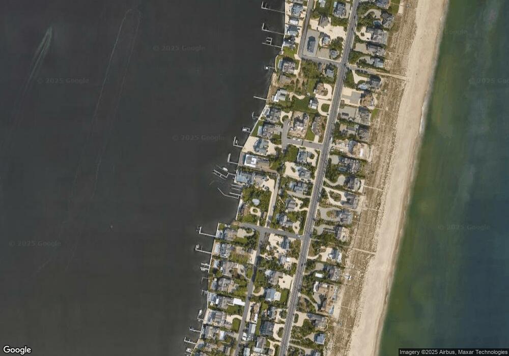
Map
Nearby Homes
- 1519 Runyon Ln
- 1318 Ocean Ave
- 122 Squan Beach Dr
- 1207 Ocean Ave
- 1201 Ocean Ave
- 233 Curtis Point Dr
- 150 Sunset Ln
- 275 Curtis Point Dr
- 1097 Barnegat Ln
- 304 Schooner Ln
- 1063 Ocean Ave
- 308 Cove Dr
- 1027 Ocean Ave
- 366 Highway 35 N
- 982 Barnegat Ln
- 978 East Ave
- 21 Scoop Rd
- 954 Barnegat Ln
- 25 Scoop Rd
- 47 Nina Ct
- 202 Albertson St
- 4 Carpenter Ln
- 208 Albertson St
- 1430 Ocean Ave
- 1424 Ocean Ave
- 1432 Ocean Ave
- 12 Carpenter Ln
- 6 Carpenter Ln
- 200 Albertson St
- 1420 Ocean Ave
- 1500 Runyon Ln
- 8 Carpenter Ln
- 1502 Ocean Ave
- 1504 Runyon Ln
- 1414 Ocean Ave
- 1504 Ocean Ave
- 10 Carpenter Ln
- 1431 Ocean Ave
- 1425 Ocean Ave
- 1433 Ocean Ave