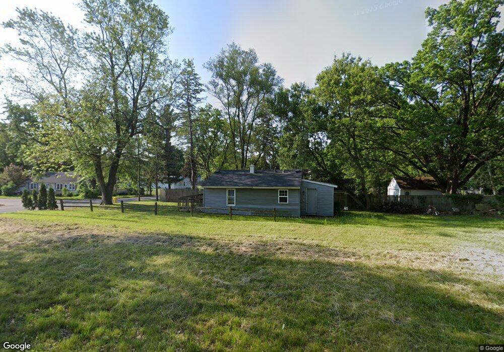
204 Artesian Ct Battle Creek, MI 49014
Estimated Value: $70,000 - $141,000
2
Beds
1
Bath
--
Sq Ft
6,534
Sq Ft Lot
About This Home
This home is located at 204 Artesian Ct, Battle Creek, MI 49014 and is currently estimated at $109,333. 204 Artesian Ct is a home located in Calhoun County with nearby schools including Harper Creek Middle School, Harper Creek High School, and St. Philip Catholic Central High School.
Ownership History
Date
Name
Owned For
Owner Type
Purchase Details
Closed on
Nov 12, 2019
Sold by
Wensauer Brian W
Bought by
Calhoun County Land Bank Authority
Current Estimated Value
Purchase Details
Closed on
Nov 22, 2011
Sold by
Calhoun County Treasurer
Bought by
Root Orlando and Root Christy
Purchase Details
Closed on
Jul 15, 2011
Sold by
Root Orlando G and Root Christy L
Bought by
Mitchell Karen
Purchase Details
Closed on
Nov 5, 2010
Sold by
Rosenbaum Ann
Bought by
Root Orlando and Root Corey
Purchase Details
Closed on
Jun 6, 2006
Sold by
Crofton Inc
Bought by
Hutchings Matthew and Hutchings Angie
Purchase Details
Closed on
Oct 27, 2005
Sold by
Department Of Treasury State Of Michigan
Bought by
Crofton Inc
Create a Home Valuation Report for This Property
The Home Valuation Report is an in-depth analysis detailing your home's value as well as a comparison with similar homes in the area
Home Values in the Area
Average Home Value in this Area
Purchase History
| Date | Buyer | Sale Price | Title Company |
|---|---|---|---|
| Calhoun County Land Bank Authority | -- | None Available | |
| Root Orlando | $150 | None Available | |
| Mitchell Karen | $500 | None Available | |
| Root Orlando | $150 | None Available | |
| Hutchings Matthew | $1,500 | Otc | |
| Crofton Inc | $2,000 | -- |
Source: Public Records
Tax History Compared to Growth
Tax History
| Year | Tax Paid | Tax Assessment Tax Assessment Total Assessment is a certain percentage of the fair market value that is determined by local assessors to be the total taxable value of land and additions on the property. | Land | Improvement |
|---|---|---|---|---|
| 2025 | -- | $0 | $0 | $0 |
| 2024 | -- | $0 | $0 | $0 |
| 2023 | -- | $0 | $0 | $0 |
| 2022 | $75 | $0 | $0 | $0 |
| 2021 | $0 | $0 | $0 | $0 |
| 2020 | $75 | $0 | $0 | $0 |
| 2019 | $79 | $950 | $0 | $0 |
| 2018 | $78 | $1,500 | $750 | $750 |
| 2017 | $78 | $1,450 | $0 | $0 |
| 2016 | $78 | $1,450 | $0 | $0 |
| 2015 | $113 | $1,400 | $0 | $0 |
| 2014 | $113 | $2,650 | $2,456 | $194 |
Source: Public Records
Map
Nearby Homes
- 79 Clark St
- 138 Rook St
- 23 Bradford St
- 0 Rook St Unit 25019652
- 131 Academy St
- 222 Lathrop Ave
- 507 Michigan Ave E
- 501 Michigan Ave E
- 255 Livingston St
- 232 Cliff St
- 85 East Ave S
- 116 Inn Rd
- 118 Nelson St
- 174 Lathrop Ave
- 155 Post Ave
- 45 Traverse St
- 140 Princeton St S
- 17 Wren St
- 28 East Ave S
- 390 E Michigan Ave