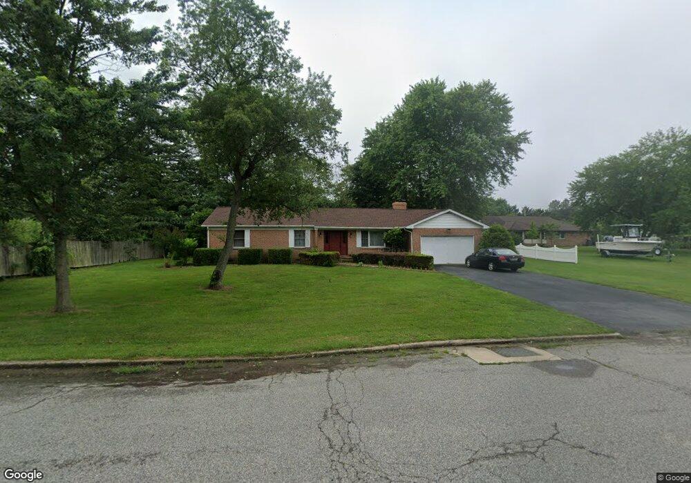
204 Barroll Dr Chestertown, MD 21620
Estimated Value: $59,000 - $311,000
Studio
--
Bath
--
Sq Ft
14,985
Sq Ft Lot
About This Home
This home is located at 204 Barroll Dr, Chestertown, MD 21620 and is currently estimated at $182,382. 204 Barroll Dr is a home located in Kent County with nearby schools including Kent County Middle School, Kent County High School, and Chestertown Christian Academy.
Ownership History
Date
Name
Owned For
Owner Type
Purchase Details
Closed on
Dec 29, 2020
Sold by
Elliott Jeffrey T and E Roy Owens Deed Of Revocable
Bought by
Sommers Charles W and Sommers Margaret L
Current Estimated Value
Purchase Details
Closed on
Dec 18, 2006
Sold by
Roy Owens E
Bought by
Owens E Roy & Marlene E Tr O/T
Purchase Details
Closed on
Dec 15, 2006
Sold by
Roy Owens E
Bought by
Owens E Roy & Marlene E Tr O/T
Purchase Details
Closed on
Oct 2, 1980
Sold by
Reed Charles Dudley and Susan Ann
Bought by
Owens Owens E and Owens Marlene E
Create a Home Valuation Report for This Property
The Home Valuation Report is an in-depth analysis detailing your home's value as well as a comparison with similar homes in the area
Home Values in the Area
Average Home Value in this Area
Purchase History
| Date | Buyer | Sale Price | Title Company |
|---|---|---|---|
| Sommers Charles W | $65,000 | Brilliant Title | |
| Owens E Roy & Marlene E Tr O/T | -- | -- | |
| Owens E Roy & Marlene E Tr O/T | -- | -- | |
| Owens Owens E | $17,500 | -- |
Source: Public Records
Tax History
| Year | Tax Paid | Tax Assessment Tax Assessment Total Assessment is a certain percentage of the fair market value that is determined by local assessors to be the total taxable value of land and additions on the property. | Land | Improvement |
|---|---|---|---|---|
| 2025 | $1,263 | $80,600 | $80,600 | $0 |
| 2024 | $1,263 | $80,600 | $80,600 | $0 |
| 2023 | $1,255 | $80,600 | $80,600 | $0 |
| 2022 | $1,255 | $80,600 | $80,600 | $0 |
| 2020 | $1,508 | $96,200 | $96,200 | $0 |
| 2019 | $1,505 | $96,200 | $96,200 | $0 |
| 2018 | $2,990 | $96,200 | $96,200 | $0 |
| 2017 | $1,447 | $96,200 | $0 | $0 |
| 2016 | -- | $96,200 | $0 | $0 |
| 2015 | $1,447 | $96,200 | $0 | $0 |
| 2014 | $1,447 | $96,200 | $0 | $0 |
Source: Public Records
Map
Nearby Homes
- 515 N Kent St
- 231 Richard Dr
- 222 Mount Vernon Ave
- 201 Greenwood Ave
- 117 N Water St Unit 1A, 1B, 2A, & 2B
- 117 N Water St Unit 2B
- 117 N Water St Unit 2A
- 117 N Water St Unit 1A
- 117 N Water St Unit 1B
- 112 Elm St
- 234 N College Ave
- 349 & 351 High St
- 349 High St
- 132 Prospect St
- 105 High St
- 106 S Queen St
- 201 N Lynchburg St
- 228 S Water St
- 0 East St
- 109 S College Ave
Your Personal Tour Guide
Ask me questions while you tour the home.