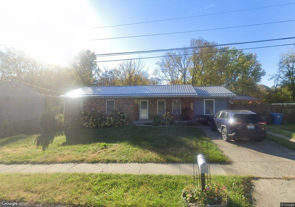
204 Brookside Dr Georgetown, KY 40324
South Scott County NeighborhoodEstimated Value: $253,000 - $279,000
3
Beds
2
Baths
1,488
Sq Ft
$179/Sq Ft
Est. Value
About This Home
This home is located at 204 Brookside Dr, Georgetown, KY 40324 and is currently estimated at $265,953, approximately $178 per square foot. 204 Brookside Dr is a home located in Scott County with nearby schools including Southern Elementary School, Georgetown Middle School, and Scott County High School.
Ownership History
Date
Name
Owned For
Owner Type
Purchase Details
Closed on
Jun 6, 2017
Sold by
Brooks Robert and Brooks Marjorie
Bought by
Brooks Terry and Brooks Sandra
Current Estimated Value
Purchase Details
Closed on
Apr 23, 2010
Sold by
Burgess Carl and Burgess Artie V
Bought by
Brooks Terry and Brooks Sandra
Home Financials for this Owner
Home Financials are based on the most recent Mortgage that was taken out on this home.
Original Mortgage
$93,600
Interest Rate
4.99%
Mortgage Type
Purchase Money Mortgage
Create a Home Valuation Report for This Property
The Home Valuation Report is an in-depth analysis detailing your home's value as well as a comparison with similar homes in the area
Home Values in the Area
Average Home Value in this Area
Purchase History
| Date | Buyer | Sale Price | Title Company |
|---|---|---|---|
| Brooks Terry | -- | Attorney | |
| Brooks Terry | $117,500 | None Available |
Source: Public Records
Mortgage History
| Date | Status | Borrower | Loan Amount |
|---|---|---|---|
| Closed | Brooks Terry | $93,600 |
Source: Public Records
Tax History
| Year | Tax Paid | Tax Assessment Tax Assessment Total Assessment is a certain percentage of the fair market value that is determined by local assessors to be the total taxable value of land and additions on the property. | Land | Improvement |
|---|---|---|---|---|
| 2025 | $2,082 | $233,800 | $0 | $0 |
| 2024 | $2,015 | $224,100 | $0 | $0 |
| 2023 | $1,941 | $214,100 | $30,000 | $184,100 |
| 2022 | $1,395 | $164,100 | $15,000 | $149,100 |
| 2021 | $1,391 | $147,700 | $15,000 | $132,700 |
| 2020 | $1,173 | $136,500 | $15,000 | $121,500 |
| 2019 | $1,139 | $130,500 | $0 | $0 |
| 2018 | $1,071 | $123,400 | $0 | $0 |
| 2017 | $1,076 | $123,400 | $0 | $0 |
| 2016 | $994 | $123,400 | $0 | $0 |
| 2015 | $940 | $117,500 | $0 | $0 |
| 2014 | $974 | $117,500 | $0 | $0 |
| 2011 | $73 | $117,500 | $0 | $0 |
Source: Public Records
Map
Nearby Homes
- 111 Hillside Dr
- 1010 Walker Way
- 208 Montgomery Ave
- 512 Pocahontas Trail
- 131 Spring Bluff Dr
- 206 Hiawatha Trail
- 117 Christal Dr
- 264 W Showalter Dr
- 113 Walden Cove Unit 3I
- 232 W Showalter Dr
- 1117 Pawnee Trail
- 251 W Showalter Dr
- 100 Hemingway Ct
- 106 Somerset Cove
- 110 Sea Pines Way
- 164 Stapleton Way
- 306 N Water St
- 98 Delissa Dr
- 104 Bronte Place
- 442 General John Payne Blvd
- 206216 Brookside Dr
- 208 Brookside Dr
- 200 Brookside Dr
- 601 Lloyd Ct
- 206-212 Brookside Dr
- 206 Brookside Dr Unit 212
- 213 Brookside Dr
- 209 Brookside Dr
- 211 Brookside Dr
- 207 Brookside Dr
- 205 Brookside Dr
- 215 Brookside Dr Unit 217
- 603 Lloyd Ct
- 196 Brookside Dr
- 602 Lloyd Ct
- 214-216 Brookside Dr
- 105 Foley Ct Unit 107
- 214 Brookside Dr Unit 216
- 148 Hillside Dr
- 123 Hillside Dr
Your Personal Tour Guide
Ask me questions while you tour the home.