204 Chestnut St SE Elkader, IA 52043
Estimated Value: $205,000 - $213,654
3
Beds
4
Baths
2,512
Sq Ft
$83/Sq Ft
Est. Value
About This Home
This home is located at 204 Chestnut St SE, Elkader, IA 52043 and is currently estimated at $208,914, approximately $83 per square foot. 204 Chestnut St SE is a home located in Clayton County with nearby schools including Central Elementary School and Central Middle School/High School.
Ownership History
Date
Name
Owned For
Owner Type
Purchase Details
Closed on
Oct 1, 2007
Sold by
Burns Monty and Burns Lori
Bought by
Lane Daniel W and Lane Peggy K
Current Estimated Value
Home Financials for this Owner
Home Financials are based on the most recent Mortgage that was taken out on this home.
Original Mortgage
$120,121
Outstanding Balance
$75,391
Interest Rate
6.49%
Mortgage Type
New Conventional
Estimated Equity
$133,523
Create a Home Valuation Report for This Property
The Home Valuation Report is an in-depth analysis detailing your home's value as well as a comparison with similar homes in the area
Home Values in the Area
Average Home Value in this Area
Purchase History
| Date | Buyer | Sale Price | Title Company |
|---|---|---|---|
| Lane Daniel W | $120,000 | None Available |
Source: Public Records
Mortgage History
| Date | Status | Borrower | Loan Amount |
|---|---|---|---|
| Open | Lane Daniel W | $120,121 |
Source: Public Records
Tax History Compared to Growth
Tax History
| Year | Tax Paid | Tax Assessment Tax Assessment Total Assessment is a certain percentage of the fair market value that is determined by local assessors to be the total taxable value of land and additions on the property. | Land | Improvement |
|---|---|---|---|---|
| 2025 | $4,120 | $209,210 | $9,017 | $200,193 |
| 2024 | $3,740 | $175,084 | $7,841 | $167,243 |
| 2023 | $3,354 | $175,084 | $7,841 | $167,243 |
| 2022 | $3,104 | $137,317 | $7,128 | $130,189 |
| 2021 | $2,804 | $137,317 | $7,128 | $130,189 |
| 2020 | $2,804 | $129,878 | $7,128 | $122,750 |
| 2019 | $2,520 | $129,878 | $7,128 | $122,750 |
| 2018 | $2,520 | $119,981 | $7,128 | $112,853 |
| 2017 | $2,606 | $119,981 | $7,128 | $112,853 |
| 2015 | $2,216 | $105,364 | $9,496 | $95,868 |
| 2014 | $2,094 | $105,364 | $9,496 | $95,868 |
Source: Public Records
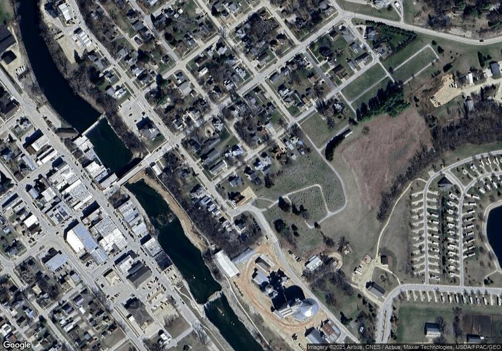
Map
Nearby Homes
- 117 S Main St
- 0 E Bridge St
- 302 N 3rd St
- 209 2nd St SW
- 301 N 1st St
- 702 N Main St
- 707 N Main St
- 710 Woodland Dr NW
- 26642 Iowa 13
- 247 Franzen Ridge Rd
- 249 Franzen Ridge Rd
- 27766 Highway 13
- 0 13 Hwy Unit NBR20255145
- 27455 Harbor Rd
- 0 Grandview Rd
- 14149 Iowa 56
- TBD Country Rd
- 305 S Russell St
- TBD Birch Rd
- 100 Volga St
- 206 Chestnut St SE
- 202 Chestnut St SE
- 300 Chestnut St SE
- 201 Chestnut St SE
- 106 2nd St SE
- 302 Chestnut St SE
- 104 2nd St SE
- 301 Chestnut St
- 107 High St SE
- 304 Chestnut St SE
- 300 High St SE
- 204 High St SE
- 204 High St SE
- 306 Chestnut St SE
- 208 E Bridge St
- 200 High St SE
- 102 3rd St SE
- 208 High St SE
- 300 E Bridge St
- 104 High St SE