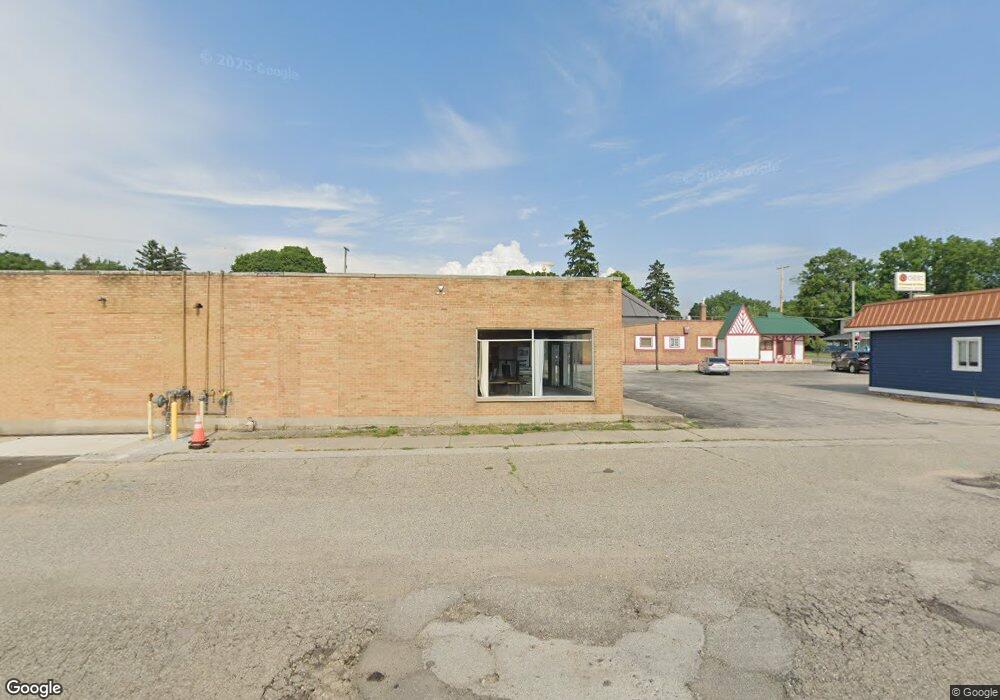
204 E Colby St Whitehall, MI 49461
Estimated Value: $125,743
Studio
2
Baths
8,930
Sq Ft
$14/Sq Ft
Est. Value
About This Home
This home is located at 204 E Colby St, Whitehall, MI 49461 and is currently estimated at $125,743, approximately $14 per square foot. 204 E Colby St is a home located in Muskegon County with nearby schools including Shoreline Elementary School, Ealy Elementary School, and Whitehall Middle School.
Ownership History
Date
Name
Owned For
Owner Type
Purchase Details
Closed on
Jun 16, 2023
Sold by
Dan Zuniga Llc
Bought by
Dyldan Llc
Current Estimated Value
Purchase Details
Closed on
Mar 9, 2022
Sold by
Community Shore Mortgage Company and Choiceone Bank
Bought by
Hain Jennifer and Hain Daniel
Purchase Details
Closed on
Oct 10, 2017
Sold by
Community Shores Mortgage
Bought by
Hain Jennifer and Hain Daniel
Purchase Details
Closed on
Oct 5, 2012
Sold by
Parent Pamela J
Bought by
Community Shores Mortgage Company
Create a Home Valuation Report for This Property
The Home Valuation Report is an in-depth analysis detailing your home's value as well as a comparison with similar homes in the area
Home Values in the Area
Average Home Value in this Area
Purchase History
| Date | Buyer | Sale Price | Title Company |
|---|---|---|---|
| Dyldan Llc | -- | None Listed On Document | |
| Hain Jennifer | -- | None Listed On Document | |
| Hain Jennifer | -- | None Listed On Document | |
| Hain Jennifer | -- | Chicago Title | |
| Community Shores Mortgage Company | $126,178 | None Available |
Source: Public Records
Tax History
| Year | Tax Paid | Tax Assessment Tax Assessment Total Assessment is a certain percentage of the fair market value that is determined by local assessors to be the total taxable value of land and additions on the property. | Land | Improvement |
|---|---|---|---|---|
| 2025 | $4,795 | $77,200 | $0 | $0 |
| 2024 | $2,126 | $77,000 | $0 | $0 |
| 2023 | $2,060 | $74,500 | $0 | $0 |
| 2022 | $4,552 | $71,400 | $0 | $0 |
| 2021 | $4,416 | $67,400 | $0 | $0 |
| 2020 | $4,437 | $67,600 | $0 | $0 |
| 2019 | $4,450 | $70,200 | $0 | $0 |
| 2018 | $4,336 | $68,000 | $0 | $0 |
| 2017 | $4,164 | $68,200 | $0 | $0 |
| 2016 | $1,785 | $65,600 | $0 | $0 |
| 2015 | -- | $65,700 | $0 | $0 |
| 2014 | -- | $127,900 | $0 | $0 |
| 2013 | -- | $127,900 | $0 | $0 |
Source: Public Records
Map
Nearby Homes
- 218 N Baldwin St
- V/L Beechmont Ave
- Lot 3 Old Channel Trail
- 604 E Muskegon Ave
- Lot 2 Old Channel Trail
- 1016 E Colby St
- 720 N Cottage Ct
- 812 S Lake St
- 910 S Lake St
- 900 S Lake St
- 8888 Ferry St
- 8431 Meade St
- 936 S Division St
- 8005 Old Channel Trail
- 1024 S Cove Cir
- 1020 S Cove Cir
- 913 E Lewis St
- 4851 Dowling St
- 9070 Dicey St
- 1125 Warner St
- 210 E Colby St
- 112 N Division St
- 116 S Division St
- 211 E Hanson St
- 402 W Leland Dr
- 403 W Leland Dr
- 400 W Leland Dr
- 411 W Leland Dr
- 405 W Leland Dr
- 401 W Leland Dr
- 404 W Leland Dr
- 409 W Leland Dr
- 407 W Leland Dr
- 406 W Leland Dr
- 116 N Livingston St
- 120 N Livingston St
- 222 E Colby St
- 124 N Livingston St
- 219 E Colby St
- 109 S Division St
Your Personal Tour Guide
Ask me questions while you tour the home.