204 E Patcong Ave Linwood, NJ 08221
Estimated Value: $794,203 - $1,294,000
--
Bed
--
Bath
3,211
Sq Ft
$317/Sq Ft
Est. Value
About This Home
This home is located at 204 E Patcong Ave, Linwood, NJ 08221 and is currently estimated at $1,016,301, approximately $316 per square foot. 204 E Patcong Ave is a home located in Atlantic County with nearby schools including Seaview Elementary School, Belhaven Middle School, and Mainland Regional High School.
Ownership History
Date
Name
Owned For
Owner Type
Purchase Details
Closed on
Oct 5, 2004
Sold by
Pettigout Amyu
Bought by
Dietrich Matthew and Dietrich Emile
Current Estimated Value
Purchase Details
Closed on
Oct 9, 2003
Sold by
Patcong Properties Llc
Bought by
Franklin Robert and Franklin Fang
Home Financials for this Owner
Home Financials are based on the most recent Mortgage that was taken out on this home.
Original Mortgage
$476,800
Interest Rate
6.43%
Mortgage Type
Purchase Money Mortgage
Create a Home Valuation Report for This Property
The Home Valuation Report is an in-depth analysis detailing your home's value as well as a comparison with similar homes in the area
Home Values in the Area
Average Home Value in this Area
Purchase History
| Date | Buyer | Sale Price | Title Company |
|---|---|---|---|
| Dietrich Matthew | $245,000 | -- | |
| Franklin Robert | $596,500 | -- | |
| Franklin Robert L | $596,500 | Commonwealth Land Title Insu |
Source: Public Records
Mortgage History
| Date | Status | Borrower | Loan Amount |
|---|---|---|---|
| Previous Owner | Franklin Robert L | $476,800 |
Source: Public Records
Tax History Compared to Growth
Tax History
| Year | Tax Paid | Tax Assessment Tax Assessment Total Assessment is a certain percentage of the fair market value that is determined by local assessors to be the total taxable value of land and additions on the property. | Land | Improvement |
|---|---|---|---|---|
| 2025 | $16,862 | $442,000 | $130,000 | $312,000 |
| 2024 | $16,862 | $442,000 | $130,000 | $312,000 |
| 2023 | $16,080 | $442,000 | $130,000 | $312,000 |
| 2022 | $16,080 | $442,000 | $130,000 | $312,000 |
| 2021 | $15,939 | $442,000 | $130,000 | $312,000 |
| 2020 | $18,228 | $512,600 | $160,000 | $352,600 |
| 2019 | $17,838 | $512,600 | $160,000 | $352,600 |
| 2018 | $17,439 | $512,600 | $160,000 | $352,600 |
| 2017 | $21,214 | $636,300 | $243,600 | $392,700 |
| 2016 | $20,502 | $636,300 | $243,600 | $392,700 |
| 2015 | $20,521 | $636,300 | $243,600 | $392,700 |
| 2014 | $19,778 | $638,000 | $243,600 | $394,400 |
Source: Public Records
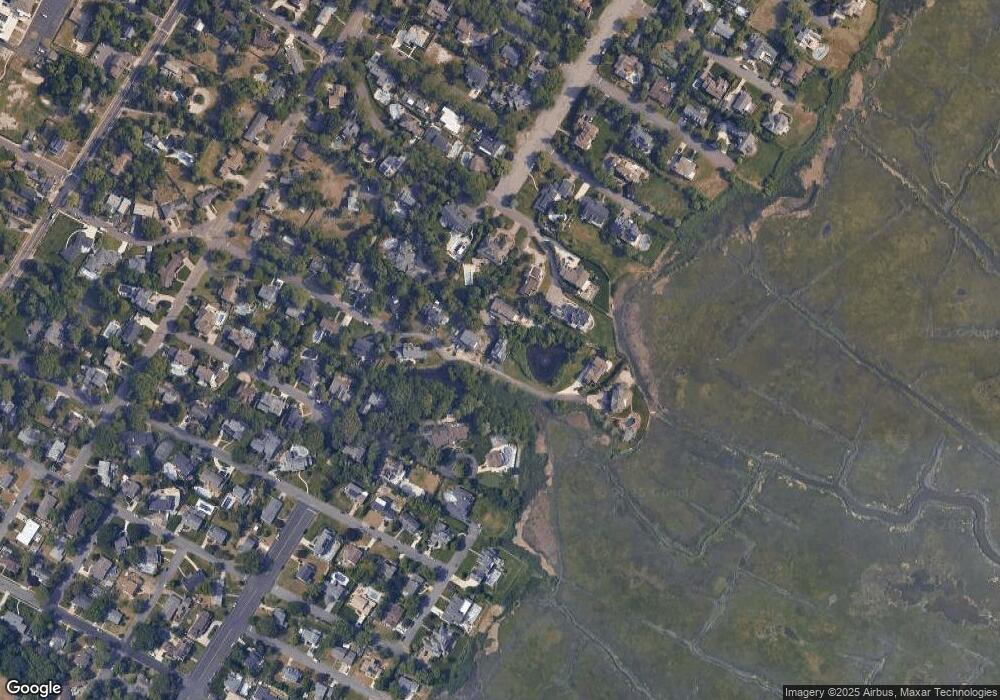
Map
Nearby Homes
- 110 E Patcong Ave
- 108 Holly Ln
- 208 Balfour Ave
- 209 Berkshire Ave
- 1917 Ventnor Ave
- 23 Cambridge Unit 23
- 1860 Franklin Blvd
- 110 E Seaview Ave
- 7 Woodstock Dr
- 1201 Woodlynne Blvd
- 102 Morris Ave
- 229 Landing Ln
- 120 W Devonshire Ave
- 1930 Shore Rd
- 209 Belhaven Ave
- 1050 Shore Rd
- 10 Sunset Ave
- 4 Princeton Ln
- 15 Elm Ave
- 1714 New Rd
- 202 E Patcong Ave
- 119 Cheltenham Ave
- 208 Holly Ln
- 203 Cheltenham Ave
- 201 Cheltenham Ave
- 206 E Patcong Ave
- 200 E Patcong Ave
- 201 E Patcong Ave
- 204 Holly Ln
- 205 Cheltenham Ave
- 117 Cheltenham Ave
- 208 E Patcong Ave
- 112 E Patcong Ave
- 1500 Franklin Blvd
- 200 Holly Ln
- 1 Heather Ln
- 111 E Patcong Ave
- 203 Holly Ln
- 110 E Ave
- 1450 Franklin Blvd