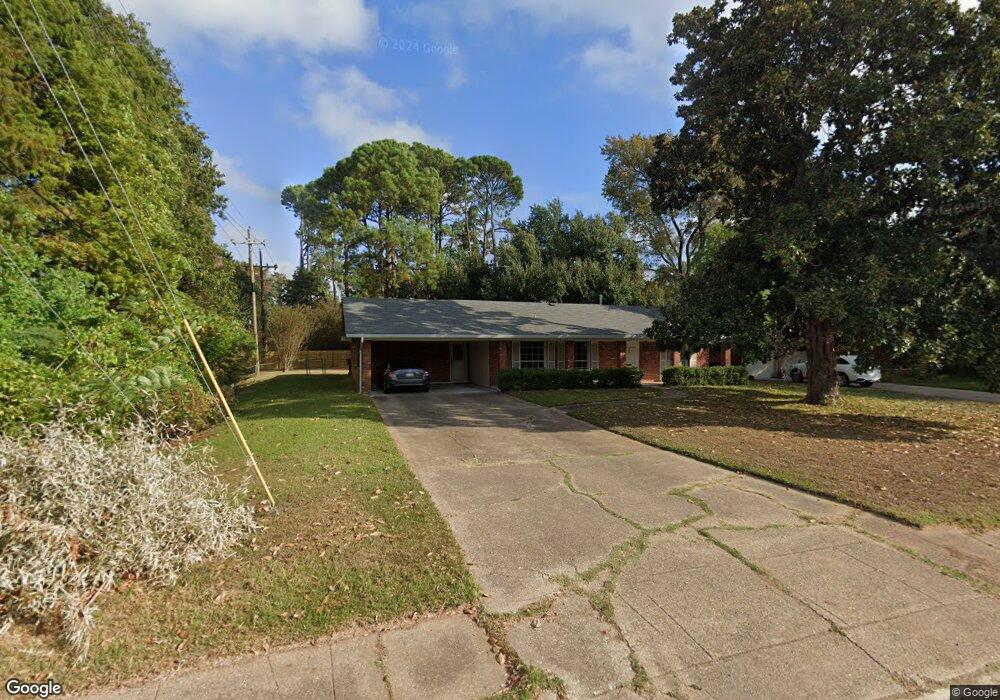
204 E Southfield Rd Shreveport, LA 71105
Broadmoor/Anderson Island/Shreve Isle NeighborhoodEstimated Value: $203,842 - $228,000
3
Beds
2
Baths
1,882
Sq Ft
$114/Sq Ft
Est. Value
About This Home
This home is located at 204 E Southfield Rd, Shreveport, LA 71105 and is currently estimated at $214,461, approximately $113 per square foot. 204 E Southfield Rd is a home located in Caddo Parish with nearby schools including Fairfield Magnet School, Judson Fundamental Elementary School, and Eden Gardens Fundamental Elementary School.
Ownership History
Date
Name
Owned For
Owner Type
Purchase Details
Closed on
Mar 11, 2020
Sold by
Beuscher Lisa Marie and Beuscher Stacy
Bought by
Beuscher Stacy and Beuscher Lisa Marie
Current Estimated Value
Home Financials for this Owner
Home Financials are based on the most recent Mortgage that was taken out on this home.
Original Mortgage
$170,000
Outstanding Balance
$150,272
Interest Rate
3.4%
Mortgage Type
New Conventional
Estimated Equity
$64,189
Purchase Details
Closed on
Jul 31, 2015
Sold by
Dykes William Turney Fox
Bought by
Beuscher Stacy and Beuscher Lisa Marie
Create a Home Valuation Report for This Property
The Home Valuation Report is an in-depth analysis detailing your home's value as well as a comparison with similar homes in the area
Home Values in the Area
Average Home Value in this Area
Purchase History
| Date | Buyer | Sale Price | Title Company |
|---|---|---|---|
| Beuscher Stacy | $177,650 | None Available | |
| Beuscher Stacy | $187,000 | None Available |
Source: Public Records
Mortgage History
| Date | Status | Borrower | Loan Amount |
|---|---|---|---|
| Open | Beuscher Stacy | $170,000 |
Source: Public Records
Tax History Compared to Growth
Tax History
| Year | Tax Paid | Tax Assessment Tax Assessment Total Assessment is a certain percentage of the fair market value that is determined by local assessors to be the total taxable value of land and additions on the property. | Land | Improvement |
|---|---|---|---|---|
| 2024 | $2,008 | $12,880 | $3,664 | $9,216 |
| 2023 | $1,883 | $11,811 | $3,490 | $8,321 |
| 2022 | $1,883 | $11,811 | $3,490 | $8,321 |
| 2021 | $1,854 | $11,811 | $3,490 | $8,321 |
| 2020 | $1,854 | $11,811 | $3,490 | $8,321 |
| 2019 | $1,917 | $11,852 | $3,490 | $8,362 |
| 2018 | $560 | $11,852 | $3,490 | $8,362 |
| 2017 | $1,947 | $11,852 | $3,490 | $8,362 |
| 2015 | $637 | $12,414 | $3,490 | $8,924 |
| 2014 | $573 | $11,890 | $3,170 | $8,720 |
| 2013 | -- | $11,890 | $3,170 | $8,720 |
Source: Public Records
Map
Nearby Homes
- 2049 River Rd
- 5702 River Rd
- 154 Southfield Rd
- 138 Justin Ave
- 2013 E Kings Hwy
- 5822 River Rd
- 150 Justin Ave
- 2005 E Kings Hwy
- 2045 Horton Ave
- 1919 Audubon Place
- 1906 Audubon Place
- 1916 Anniston Ave
- 245 Stuart Ave
- 334 Wayne Dr
- 114 Kings Crossing
- 1923 Bermuda St
- 522 Oriole Ln
- 1820 E Kings Hwy Unit 262
- 1820 E Kings Hwy Unit 42
- 1820 E Kings Hwy Unit 243
- 210 E Southfield Rd
- 216 E Southfield Rd
- 2060 River Rd
- 230 E Southfield Rd
- 205 E Southfield Rd
- 102 Southfield Rd
- 222 E Southfield Rd
- 2052 River Rd
- 101 Bruce Ave
- 106 Southfield Rd
- 307 Haynes Ave
- 211 E Southfield Rd
- 107 Bruce Ave
- 238 E Southfield Rd
- 102 Bruce Ave
- 102 Bruce Ave
- 113 Bruce Ave
- 311 Haynes Ave
- 219 E Southfield Rd
- 114 Southfield Rd