204 Harvest Common Westport, CT 06880
Staples NeighborhoodEstimated Value: $1,162,000 - $1,274,000
2
Beds
3
Baths
2,141
Sq Ft
$572/Sq Ft
Est. Value
About This Home
This home is located at 204 Harvest Common, Westport, CT 06880 and is currently estimated at $1,224,576, approximately $571 per square foot. 204 Harvest Common is a home located in Fairfield County with nearby schools including Long Lots School, Bedford Middle School, and Staples High School.
Ownership History
Date
Name
Owned For
Owner Type
Purchase Details
Closed on
Sep 8, 2021
Sold by
Anthony F Mazzarella Ret
Bought by
Grossman-Nissim Laura and Nissim Daniel L
Current Estimated Value
Purchase Details
Closed on
Oct 15, 1984
Bought by
Mazzarella Anthony F and Mazzarella Carole M
Create a Home Valuation Report for This Property
The Home Valuation Report is an in-depth analysis detailing your home's value as well as a comparison with similar homes in the area
Home Values in the Area
Average Home Value in this Area
Purchase History
| Date | Buyer | Sale Price | Title Company |
|---|---|---|---|
| Grossman-Nissim Laura | $925,000 | None Available | |
| Grossman-Nissim Laura | $925,000 | None Available | |
| Mazzarella Anthony F | $305,000 | -- |
Source: Public Records
Mortgage History
| Date | Status | Borrower | Loan Amount |
|---|---|---|---|
| Previous Owner | Mazzarella Anthony F | $67,366 | |
| Previous Owner | Mazzarella Anthony F | $96,000 | |
| Previous Owner | Mazzarella Anthony F | $100,000 |
Source: Public Records
Tax History Compared to Growth
Tax History
| Year | Tax Paid | Tax Assessment Tax Assessment Total Assessment is a certain percentage of the fair market value that is determined by local assessors to be the total taxable value of land and additions on the property. | Land | Improvement |
|---|---|---|---|---|
| 2025 | $9,632 | $510,700 | $0 | $510,700 |
| 2024 | $9,509 | $510,700 | $0 | $510,700 |
| 2023 | $9,371 | $510,700 | $0 | $510,700 |
| 2022 | $9,228 | $510,700 | $0 | $510,700 |
| 2021 | $9,228 | $510,700 | $0 | $510,700 |
| 2020 | $9,170 | $548,800 | $0 | $548,800 |
| 2019 | $9,560 | $548,800 | $0 | $548,800 |
| 2018 | $9,253 | $548,800 | $0 | $548,800 |
| 2017 | $9,253 | $548,800 | $0 | $548,800 |
| 2016 | $9,253 | $548,800 | $0 | $548,800 |
| 2015 | $8,913 | $492,700 | $0 | $492,700 |
| 2014 | $8,839 | $492,700 | $0 | $492,700 |
Source: Public Records
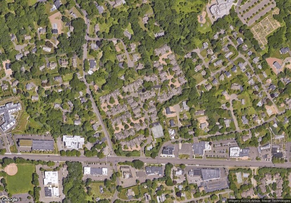
Map
Nearby Homes
- 185 Regents Park
- 7 Morningside Ln
- 20 Morningside Dr S
- 22 Morningside Dr S
- 40 Maple Ave N
- 36 Maple Ave S
- 4 Burr Farms Rd
- 7 High Gate Rd
- 14 Burr School Rd
- 1 Coastal Ct
- 16 Burr School Rd
- 107 Old Rd
- 9 Burr Farms Rd
- 61 Clapboard Hill Rd
- 220 Lansdowne
- 125 Old Rd
- 10 Tierney Ln
- 86 Maple Ave S
- 10 Debra Ln
- 109 Morningside Dr S
- 210 Harvest Common
- 206 Harvest Common
- 202 Harvest Common
- 208 Harvest Common
- 204 Harvest Common Unit 204
- 108 Harvest Commons Unit 108
- 106 Harvest Commons Unit 106
- 206 Harvest Commons Unit 206
- 206 Harvest Commons
- 103 Harvest Common
- 103 Harvest Common Unit 103
- 102 Harvest Common
- 107 Harvest Common
- 1 Barbara Place
- 5 Barbara Place
- 106 Harvest Common
- 106 Harvest Common Unit 106
- 123 Harvest Commons
- 315 Harvest Common
- 305 Harvest Common