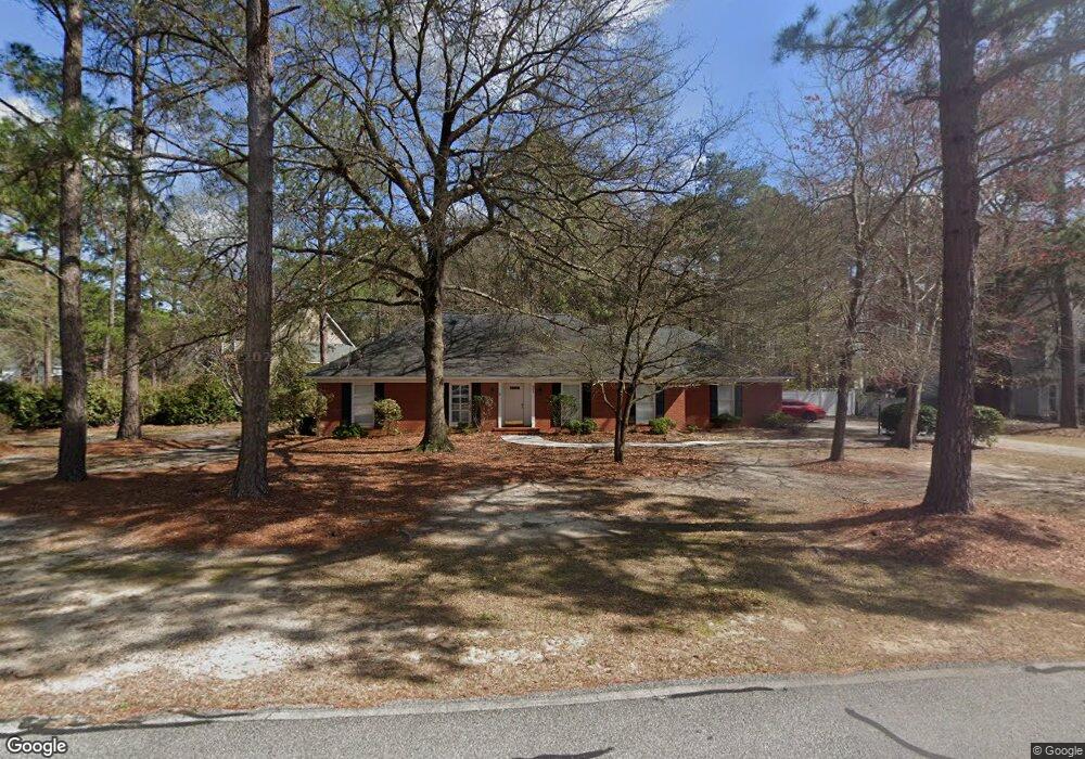
204 Hawthorne Rd Statesboro, GA 30458
Estimated Value: $281,000 - $304,000
3
Beds
2
Baths
1,877
Sq Ft
$157/Sq Ft
Est. Value
About This Home
This home is located at 204 Hawthorne Rd, Statesboro, GA 30458 and is currently estimated at $294,203, approximately $156 per square foot. 204 Hawthorne Rd is a home located in Bulloch County with nearby schools including Statesboro High School, Sallie Zetterower Elementary School, and Langston Chapel Middle School.
Ownership History
Date
Name
Owned For
Owner Type
Purchase Details
Closed on
Aug 21, 2019
Sold by
Lowe Martha Jo Estate
Bought by
Newman Paul R
Current Estimated Value
Home Financials for this Owner
Home Financials are based on the most recent Mortgage that was taken out on this home.
Original Mortgage
$112,000
Outstanding Balance
$71,572
Interest Rate
3.7%
Mortgage Type
New Conventional
Estimated Equity
$222,631
Purchase Details
Closed on
Aug 1, 1988
Bought by
Lowe Martha Jo
Create a Home Valuation Report for This Property
The Home Valuation Report is an in-depth analysis detailing your home's value as well as a comparison with similar homes in the area
Home Values in the Area
Average Home Value in this Area
Purchase History
| Date | Buyer | Sale Price | Title Company |
|---|---|---|---|
| Newman Paul R | $140,000 | -- | |
| Lowe Martha Jo | -- | -- |
Source: Public Records
Mortgage History
| Date | Status | Borrower | Loan Amount |
|---|---|---|---|
| Open | Newman Paul R | $112,000 |
Source: Public Records
Tax History Compared to Growth
Tax History
| Year | Tax Paid | Tax Assessment Tax Assessment Total Assessment is a certain percentage of the fair market value that is determined by local assessors to be the total taxable value of land and additions on the property. | Land | Improvement |
|---|---|---|---|---|
| 2024 | $2,896 | $105,680 | $18,000 | $87,680 |
| 2023 | $2,454 | $85,680 | $10,000 | $75,680 |
| 2022 | $1,490 | $75,952 | $10,000 | $65,952 |
| 2021 | $1,289 | $63,910 | $10,000 | $53,910 |
| 2020 | $1,075 | $51,828 | $4,800 | $47,028 |
| 2019 | $1,447 | $51,367 | $4,800 | $46,567 |
| 2018 | $0 | $48,717 | $4,800 | $43,917 |
| 2017 | $0 | $46,476 | $4,800 | $41,676 |
| 2016 | $0 | $45,256 | $4,800 | $40,456 |
| 2015 | -- | $43,523 | $4,800 | $38,723 |
| 2014 | -- | $43,523 | $4,800 | $38,723 |
Source: Public Records
Map
Nearby Homes
- 9 Robin Hood Rd
- 218 S Edgewood Dr
- 204 S Edgewood Dr
- 0 Cawana Rd Unit 10619496
- 1008 Cawana Rd
- -- Brampton Ave
- Cali Plan at Holly Oaks
- Kerry Plan at Holly Oaks
- Belhaven Plan at Holly Oaks
- Freeport Plan at Holly Oaks
- Manning Plan at Holly Oaks
- Robie Plan at Holly Oaks
- 0 Stambuk Ln Unit 329856
- 0 Stambuk Ln Unit 10507731
- 20 Greenwood Ave
- 302 Parkersburg Ln
- 1139 Bartlett Dr
- 0 Lanier Dr Unit 10329553
- 1508 Oneal Dr
- The Outpost Plan at The Outpost
- 131 Olde Towne Dr
- 202 Hawthorne Rd
- 203 Hawthorne Rd
- 129 Olde Towne Dr
- 219 Merrywood Dr
- 205 Hawthorne Rd
- 200 Hawthorne Rd
- 118 Olde Towne Dr
- 116 Olde Towne Dr
- 127 Olde Towne Dr
- 207 Hawthorne Rd
- 217 Merrywood Dr
- 114 Olde Towne Dr
- 224 Merrywood Dr
- 122 Hawthorne Rd
- 206 Hawthorne Rd
- 218 Oakleaf Dr
- 8 Wake Forest Ct
- 216 Oakleaf Dr
- 10 Wake Forest Ct