204 Ladera Ln Washington, MO 63090
Estimated Value: $628,000 - $782,509
3
Beds
4
Baths
2,608
Sq Ft
$265/Sq Ft
Est. Value
About This Home
This home is located at 204 Ladera Ln, Washington, MO 63090 and is currently estimated at $692,170, approximately $265 per square foot. 204 Ladera Ln is a home located in Franklin County with nearby schools including Washington High School and St. John The Baptist School.
Ownership History
Date
Name
Owned For
Owner Type
Purchase Details
Closed on
Apr 30, 2024
Sold by
Rhodes Keith A
Bought by
Keith A Rhodes Revocable Living Trust
Current Estimated Value
Purchase Details
Closed on
Oct 11, 2023
Sold by
Rhodes Denia M
Bought by
Rhodes Keith A
Home Financials for this Owner
Home Financials are based on the most recent Mortgage that was taken out on this home.
Original Mortgage
$166,800
Interest Rate
7.18%
Mortgage Type
New Conventional
Purchase Details
Closed on
Aug 21, 2017
Sold by
Marchiando Albert W and Marchiando Leslie A
Bought by
Rhodes Keith A and Rhodes Denia M
Home Financials for this Owner
Home Financials are based on the most recent Mortgage that was taken out on this home.
Original Mortgage
$494,910
Interest Rate
3.96%
Mortgage Type
New Conventional
Create a Home Valuation Report for This Property
The Home Valuation Report is an in-depth analysis detailing your home's value as well as a comparison with similar homes in the area
Home Values in the Area
Average Home Value in this Area
Purchase History
| Date | Buyer | Sale Price | Title Company |
|---|---|---|---|
| Keith A Rhodes Revocable Living Trust | -- | None Listed On Document | |
| Rhodes Keith A | -- | None Listed On Document | |
| Rhodes Keith A | -- | -- |
Source: Public Records
Mortgage History
| Date | Status | Borrower | Loan Amount |
|---|---|---|---|
| Previous Owner | Rhodes Keith A | $166,800 | |
| Previous Owner | Rhodes Keith A | $494,910 |
Source: Public Records
Tax History Compared to Growth
Tax History
| Year | Tax Paid | Tax Assessment Tax Assessment Total Assessment is a certain percentage of the fair market value that is determined by local assessors to be the total taxable value of land and additions on the property. | Land | Improvement |
|---|---|---|---|---|
| 2024 | $5,552 | $96,334 | $0 | $0 |
| 2023 | $5,195 | $96,837 | $0 | $0 |
| 2022 | $4,946 | $91,884 | $0 | $0 |
| 2021 | $4,930 | $91,884 | $0 | $0 |
| 2020 | $4,631 | $83,066 | $0 | $0 |
| 2019 | $4,617 | $83,066 | $0 | $0 |
| 2018 | $4,449 | $79,420 | $0 | $0 |
| 2017 | $4,442 | $79,420 | $0 | $0 |
| 2016 | $4,089 | $74,347 | $0 | $0 |
| 2015 | $3,864 | $74,347 | $0 | $0 |
| 2014 | $3,982 | $76,648 | $0 | $0 |
Source: Public Records
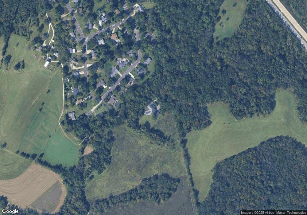
Map
Nearby Homes
- 31 El Viento Dr
- 431 Ridge Meadow Ln
- 975 Foggy Ct
- 3773 Dunne Spring Rd
- 326 Waverly Ct
- 1 - Lot Valley Brook Ct
- 7 - Lot Valley Brook Ct
- lot 2 Hilltop Dr
- 4651 Old Highway 100
- 4750 Log House Rd
- 196 Creek Bottom Rd
- 2787 Stonecrest Dr
- 3012 Old Highway 100
- 4840 S Point Rd
- (Lot 60) Scarlet Oak Loop
- 652 Oak Crossing Dr
- 0 Oak Crossing Dr
- 664 Oak Crossing Dr
- 5989 Gildehaus Rd
- 0 St Louis Rock Rd Unit MIS25051513