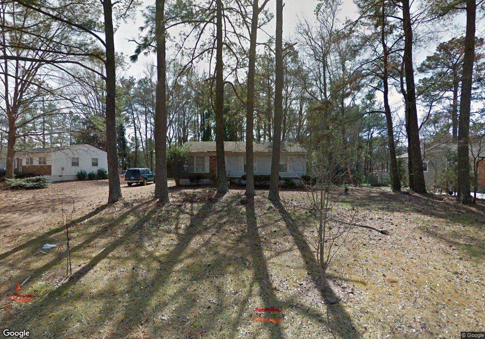
204 Lane of Sir Kay Garner, NC 27529
Estimated Value: $251,000 - $265,000
3
Beds
2
Baths
1,055
Sq Ft
$244/Sq Ft
Est. Value
About This Home
This home is located at 204 Lane of Sir Kay, Garner, NC 27529 and is currently estimated at $257,515, approximately $244 per square foot. 204 Lane of Sir Kay is a home located in Wake County with nearby schools including Creech Road Elementary School, East Garner Middle School, and South Garner High.
Ownership History
Date
Name
Owned For
Owner Type
Purchase Details
Closed on
Mar 15, 2002
Sold by
Hud
Bought by
Greenwood Scott S and Greenwood Norma J Duff
Current Estimated Value
Home Financials for this Owner
Home Financials are based on the most recent Mortgage that was taken out on this home.
Original Mortgage
$66,600
Outstanding Balance
$27,429
Interest Rate
6.86%
Estimated Equity
$230,086
Purchase Details
Closed on
Oct 19, 2001
Sold by
Watkins Janette G and Watkins Kelvin
Bought by
Hud
Purchase Details
Closed on
Feb 4, 2000
Sold by
Desantis Linda and Desantis Don I
Bought by
Watkins Kelvin and Watkins Janette G
Home Financials for this Owner
Home Financials are based on the most recent Mortgage that was taken out on this home.
Original Mortgage
$90,408
Interest Rate
8.02%
Mortgage Type
FHA
Create a Home Valuation Report for This Property
The Home Valuation Report is an in-depth analysis detailing your home's value as well as a comparison with similar homes in the area
Home Values in the Area
Average Home Value in this Area
Purchase History
| Date | Buyer | Sale Price | Title Company |
|---|---|---|---|
| Greenwood Scott S | -- | -- | |
| Hud | $96,095 | -- | |
| Watkins Kelvin | $91,000 | -- |
Source: Public Records
Mortgage History
| Date | Status | Borrower | Loan Amount |
|---|---|---|---|
| Open | Greenwood Scott S | $66,600 | |
| Previous Owner | Watkins Kelvin | $90,408 |
Source: Public Records
Tax History Compared to Growth
Tax History
| Year | Tax Paid | Tax Assessment Tax Assessment Total Assessment is a certain percentage of the fair market value that is determined by local assessors to be the total taxable value of land and additions on the property. | Land | Improvement |
|---|---|---|---|---|
| 2025 | $1,433 | $220,918 | $100,000 | $120,918 |
| 2024 | $1,392 | $220,918 | $100,000 | $120,918 |
| 2023 | $942 | $118,292 | $42,000 | $76,292 |
| 2022 | $874 | $118,292 | $42,000 | $76,292 |
| 2021 | $851 | $118,292 | $42,000 | $76,292 |
| 2020 | $837 | $118,292 | $42,000 | $76,292 |
| 2019 | $805 | $96,074 | $36,000 | $60,074 |
| 2018 | $741 | $96,074 | $36,000 | $60,074 |
| 2017 | $703 | $96,074 | $36,000 | $60,074 |
| 2016 | $689 | $96,074 | $36,000 | $60,074 |
| 2015 | $708 | $99,100 | $38,000 | $61,100 |
| 2014 | $672 | $99,100 | $38,000 | $61,100 |
Source: Public Records
Map
Nearby Homes
- 203 Lane of Sir Kay
- 207 Lane of Tristram
- 209 King Arthur Trail
- 239 Meadowbark Bend Unit 27
- 251 Meadowbark Bend Unit 30
- 264 Meadowbark Bend Unit 43
- 267 Meadowbark Bend Unit 34
- 268 Meadowbark Bend Unit 42
- 272 Meadowbark Bend Unit 41
- 276 Meadowbark Bend Unit 40
- 1909 E Garner Rd
- 280 Meadowbark Bend Unit 39
- 284 Meadowbark Bend Unit 38
- 288 Meadowbark Bend Unit 37
- 292 Meadowbark Bend Unit 36
- 296 Meadowbark Bend Unit 35
- 315 Chesapeake Commons St Unit 102
- 304 Chesapeake Commons St Unit 146
- 307 Chesapeake Commons St Unit 100
- 311 Chesapeake Commons St Unit 101
- 202 Ln of Sir Kay
- 206 Lane of Sir Kay
- 202 Lane of Sir Kay
- 208 Lane of Sir Kay
- 209 Lane of Tristram
- 211 Lane of Tristram
- 207 Lane of Sir Kay
- 210 Lane of Sir Kay
- 205 Lane of Sir Kay
- 209 Lane of Sir Kay
- 213 Lane of Tristram
- 214 Lane of Sir Kay
- 216 Lane of Sir Kay
- 215 Lane of Tristram
- 212 Lane of Sir Kay
- 205 Lane of Tristram
- 211 Lane of Sir Kay
- 213 Lane of Sir Kay
- 203 Lane of Tristram
- 210 Lane of Tristram