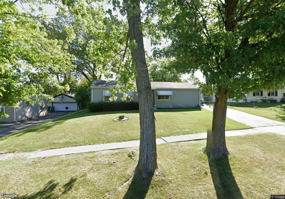
204 Macgregor Rd Unit 2 Lockport, IL 60441
Estimated Value: $229,302 - $273,000
Studio
--
Bath
1,152
Sq Ft
$223/Sq Ft
Est. Value
About This Home
This home is located at 204 Macgregor Rd Unit 2, Lockport, IL 60441 and is currently estimated at $256,326, approximately $222 per square foot. 204 Macgregor Rd Unit 2 is a home located in Will County with nearby schools including Walsh Elementary School, Ludwig Elementary School, and Reed Elementary School.
Ownership History
Date
Name
Owned For
Owner Type
Purchase Details
Closed on
Sep 26, 1996
Sold by
Novak Eric and Novak Lydia
Bought by
White Daniel B and White Aida J
Current Estimated Value
Home Financials for this Owner
Home Financials are based on the most recent Mortgage that was taken out on this home.
Original Mortgage
$85,000
Interest Rate
7.94%
Purchase Details
Closed on
Mar 4, 1993
Bought by
White Daniel B A
Create a Home Valuation Report for This Property
The Home Valuation Report is an in-depth analysis detailing your home's value as well as a comparison with similar homes in the area
Home Values in the Area
Average Home Value in this Area
Purchase History
| Date | Buyer | Sale Price | Title Company |
|---|---|---|---|
| White Daniel B | $100,000 | -- | |
| White Daniel B A | $62,000 | -- |
Source: Public Records
Mortgage History
| Date | Status | Borrower | Loan Amount |
|---|---|---|---|
| Previous Owner | White Daniel B | $85,000 |
Source: Public Records
Tax History
| Year | Tax Paid | Tax Assessment Tax Assessment Total Assessment is a certain percentage of the fair market value that is determined by local assessors to be the total taxable value of land and additions on the property. | Land | Improvement |
|---|---|---|---|---|
| 2024 | $5,349 | $77,549 | $26,720 | $50,829 |
| 2023 | $5,349 | $69,620 | $23,988 | $45,632 |
| 2022 | $4,979 | $63,948 | $22,376 | $41,572 |
| 2021 | $4,390 | $60,096 | $21,028 | $39,068 |
| 2020 | $4,268 | $58,120 | $20,337 | $37,783 |
| 2019 | $4,010 | $55,090 | $19,277 | $35,813 |
| 2018 | $3,729 | $50,729 | $17,821 | $32,908 |
| 2017 | $3,539 | $47,889 | $16,823 | $31,066 |
| 2016 | $3,335 | $44,882 | $15,767 | $29,115 |
| 2015 | $2,718 | $39,541 | $13,891 | $25,650 |
| 2014 | $2,718 | $36,612 | $12,862 | $23,750 |
| 2013 | $2,718 | $37,359 | $13,124 | $24,235 |
Source: Public Records
Map
Nearby Homes
- 936 Treeline Ct Unit 5B
- 1330 Lacoma Ct
- 14834 S Hillside Dr
- 1041 Ashley Ct S Unit 2D
- 605 Gloria St
- 9.5 Acres S Archer Ave
- 134 S Jefferson St
- 0 151st & MacGregor St Unit MRD11873272
- 0 Smith Rd South of 135th St Unit MRD12274096
- 0 N State St Unit 10995892
- 15303 S Oak Run Ct
- 16553 W Golden Valley Ln
- 16665 W Merc Ln
- 118 N State St
- 120 N State St
- 1015 Grandview Ave
- 519 S Washington St
- 16656 W Huntington Dr
- 501 S Hamilton St
- 14903 S Preserve Dr
- 208 Macgregor Rd
- 201 Laurie Dr
- 203 Laurie Dr
- 300 Macgregor Rd
- 1102 Highland Ave
- 1100 Highland Ave Unit 2
- 205 Laurie Dr
- 1104 Highland Ave
- 207 Macgregor Rd Unit 1
- 205 Macgregor Rd
- 203 Macgregor Rd
- 209 Macgregor Rd
- 1106 Highland Ave
- 304 Macgregor Rd
- 301 Laurie Dr
- 301 Macgregor Rd
- 201 Macgregor Rd
- 303 Macgregor Rd
- 306 Macgregor Rd
- 303 Laurie Dr Unit 2