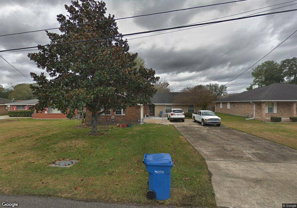
204 Monsanto Ave Luling, LA 70070
Estimated Value: $276,000 - $326,000
4
Beds
3
Baths
2,409
Sq Ft
$126/Sq Ft
Est. Value
About This Home
This home is located at 204 Monsanto Ave, Luling, LA 70070 and is currently estimated at $304,250, approximately $126 per square foot. 204 Monsanto Ave is a home located in St. Charles Parish with nearby schools including Mimosa Park Elementary School, Lakewood Elementary School, and J.B. Martin Middle School.
Ownership History
Date
Name
Owned For
Owner Type
Purchase Details
Closed on
May 19, 2011
Sold by
Leblanc Darlene
Bought by
Toups Mona Mae Sevin
Current Estimated Value
Home Financials for this Owner
Home Financials are based on the most recent Mortgage that was taken out on this home.
Original Mortgage
$223,194
Outstanding Balance
$13,095
Interest Rate
4.1%
Mortgage Type
FHA
Estimated Equity
$291,155
Create a Home Valuation Report for This Property
The Home Valuation Report is an in-depth analysis detailing your home's value as well as a comparison with similar homes in the area
Home Values in the Area
Average Home Value in this Area
Purchase History
| Date | Buyer | Sale Price | Title Company |
|---|---|---|---|
| Toups Mona Mae Sevin | $234,500 | Dwyer Title Inc |
Source: Public Records
Mortgage History
| Date | Status | Borrower | Loan Amount |
|---|---|---|---|
| Open | Toups Mona Mae Sevin | $223,194 |
Source: Public Records
Tax History Compared to Growth
Tax History
| Year | Tax Paid | Tax Assessment Tax Assessment Total Assessment is a certain percentage of the fair market value that is determined by local assessors to be the total taxable value of land and additions on the property. | Land | Improvement |
|---|---|---|---|---|
| 2024 | $1,508 | $22,190 | $4,920 | $17,270 |
| 2023 | $1,508 | $22,190 | $4,920 | $17,270 |
| 2022 | $2,595 | $22,190 | $4,920 | $17,270 |
| 2021 | $1,989 | $16,862 | $4,428 | $12,434 |
| 2020 | $2,622 | $22,190 | $4,920 | $17,270 |
| 2019 | $2,503 | $21,105 | $3,500 | $17,605 |
| 2018 | $2,483 | $21,105 | $3,500 | $17,605 |
| 2017 | $2,480 | $21,105 | $3,500 | $17,605 |
| 2016 | $2,491 | $21,105 | $3,500 | $17,605 |
| 2015 | $1,600 | $21,105 | $1,802 | $19,303 |
| 2014 | $1,541 | $21,105 | $1,802 | $19,303 |
| 2013 | $1,547 | $21,105 | $1,802 | $19,303 |
Source: Public Records
Map
Nearby Homes
- 309 Wade St
- 319 Wanda St
- 321 Wanda St
- 321 Saint Anthony St
- 61 Saint Anthony St
- 426 River Oaks Dr
- 335 Saint Nicholas St
- 192 Lakewood Dr
- 124 Birch St
- 125 Lakewood Dr
- 103 Ivy Ct
- 322 Balboa Dr
- 106 Sophia Dr
- 110 Sophia Dr
- LaCroix Plan at Heather Oaks
- Broussard Plan at Heather Oaks
- Franklin Plan at Heather Oaks
- Belmont II Plan at Heather Oaks
- Myrtle Plan at Heather Oaks
- 206 Monsanto Ave
- 202 Monsanto Ave
- 208 Monsanto Ave
- 203 Maryland Dr Unit E
- 203 Maryland Dr Unit I (i)
- 203 Maryland Dr Unit N
- 203 Maryland Dr Unit F
- 203 Maryland Dr Unit A
- 203 Maryland Dr Unit K
- 203 Maryland Dr Unit J
- 203 Maryland Dr Unit B
- 203 Maryland Dr Unit O
- 203 Maryland Dr Unit I
- 203 Maryland Dr Unit D
- 203 Maryland Dr Unit H
- 203 Maryland Dr Unit G
- 203 Maryland Dr Unit M
- 203 Maryland Dr Unit C
- 203 Maryland Dr Unit L
- 203 Maryland Dr