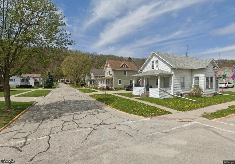
204 Mulberry St Elkader, IA 52043
Estimated Value: $147,089 - $203,000
3
Beds
2
Baths
1,344
Sq Ft
$121/Sq Ft
Est. Value
About This Home
This home is located at 204 Mulberry St, Elkader, IA 52043 and is currently estimated at $163,022, approximately $121 per square foot. 204 Mulberry St is a home with nearby schools including Central Elementary School and Central Middle School/High School.
Ownership History
Date
Name
Owned For
Owner Type
Purchase Details
Closed on
Feb 1, 2019
Sold by
Hendrickson Angela S
Bought by
Hendrickson Robert A
Current Estimated Value
Purchase Details
Closed on
Jul 27, 2017
Sold by
Arnold Trevor R and Arnold Rachel M
Bought by
Hendrickson Robert A and Hendrickson Angela S
Home Financials for this Owner
Home Financials are based on the most recent Mortgage that was taken out on this home.
Original Mortgage
$1
Interest Rate
3.88%
Mortgage Type
Unknown
Purchase Details
Closed on
Aug 1, 2014
Sold by
Gregerson Chris and Gregerson Michelle
Bought by
Arnold Trevor R and Arnold Rachel M
Home Financials for this Owner
Home Financials are based on the most recent Mortgage that was taken out on this home.
Original Mortgage
$84,494
Interest Rate
4.19%
Mortgage Type
Future Advance Clause Open End Mortgage
Create a Home Valuation Report for This Property
The Home Valuation Report is an in-depth analysis detailing your home's value as well as a comparison with similar homes in the area
Home Values in the Area
Average Home Value in this Area
Purchase History
| Date | Buyer | Sale Price | Title Company |
|---|---|---|---|
| Hendrickson Robert A | -- | -- | |
| Hendrickson Robert A | $90,000 | None Available | |
| Arnold Trevor R | $86,000 | None Available |
Source: Public Records
Mortgage History
| Date | Status | Borrower | Loan Amount |
|---|---|---|---|
| Previous Owner | Hendrickson Robert A | $1 | |
| Previous Owner | Arnold Trevor R | $84,494 |
Source: Public Records
Tax History Compared to Growth
Tax History
| Year | Tax Paid | Tax Assessment Tax Assessment Total Assessment is a certain percentage of the fair market value that is determined by local assessors to be the total taxable value of land and additions on the property. | Land | Improvement |
|---|---|---|---|---|
| 2025 | $2,440 | $139,067 | $5,693 | $133,374 |
| 2024 | $2,210 | $116,315 | $4,950 | $111,365 |
| 2023 | $2,152 | $116,315 | $4,950 | $111,365 |
| 2022 | $1,990 | $94,688 | $4,500 | $90,188 |
| 2021 | $1,788 | $94,688 | $4,500 | $90,188 |
| 2020 | $1,788 | $89,206 | $4,500 | $84,706 |
| 2019 | $1,598 | $89,206 | $4,500 | $84,706 |
| 2018 | $1,598 | $82,449 | $4,500 | $77,949 |
| 2017 | $1,642 | $82,449 | $4,500 | $77,949 |
| 2015 | $1,498 | $74,050 | $5,940 | $68,110 |
| 2014 | $1,406 | $74,050 | $5,940 | $68,110 |
Source: Public Records
Map
Nearby Homes
- 209 2nd St SW
- 117 S Main St
- 301 N 1st St
- 302 N 3rd St
- 0 E Bridge St
- 702 N Main St
- 707 N Main St
- 710 Woodland Dr NW
- 26642 Iowa 13
- 247 Franzen Ridge Rd
- 249 Franzen Ridge Rd
- 27766 Highway 13
- 0 13 Hwy Unit NBR20255145
- 27455 Harbor Rd
- 14149 Iowa 56
- 0 Grandview Rd
- TBD Country Rd
- TBD Birch Rd
- 305 S Russell St
- 100 Volga St