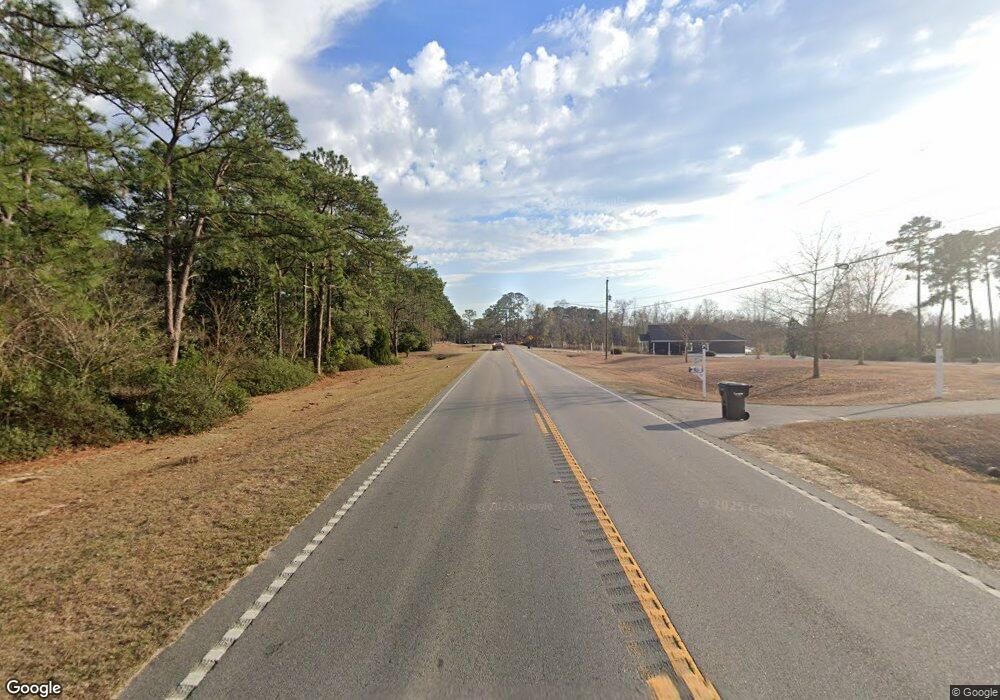
204 N Main St Collins, GA 30421
Estimated Value: $128,839
--
Bed
--
Bath
1,460
Sq Ft
$88/Sq Ft
Est. Value
About This Home
This home is located at 204 N Main St, Collins, GA 30421 and is currently estimated at $128,839, approximately $88 per square foot. 204 N Main St is a home located in Tattnall County with nearby schools including Tattnall County High School.
Ownership History
Date
Name
Owned For
Owner Type
Purchase Details
Closed on
Mar 3, 2020
Sold by
Eli Collins Llc
Bought by
City Of Collins
Current Estimated Value
Home Financials for this Owner
Home Financials are based on the most recent Mortgage that was taken out on this home.
Original Mortgage
$79,500
Outstanding Balance
$22,559
Interest Rate
3.4%
Mortgage Type
New Conventional
Estimated Equity
$106,280
Purchase Details
Closed on
Jun 12, 2015
Sold by
Heritagebank Of The South
Bought by
Eli Collins Llc
Purchase Details
Closed on
Oct 9, 2013
Sold by
Federal Deposit Insurance Corporation
Bought by
Heritagebank Of The South
Purchase Details
Closed on
Feb 14, 1973
Sold by
Murphy Lynn F
Bought by
Tattnall Bank The
Create a Home Valuation Report for This Property
The Home Valuation Report is an in-depth analysis detailing your home's value as well as a comparison with similar homes in the area
Home Values in the Area
Average Home Value in this Area
Purchase History
| Date | Buyer | Sale Price | Title Company |
|---|---|---|---|
| City Of Collins | $79,500 | -- | |
| Eli Collins Llc | $27,000 | -- | |
| Heritagebank Of The South | -- | -- | |
| Tattnall Bank The | -- | -- |
Source: Public Records
Mortgage History
| Date | Status | Borrower | Loan Amount |
|---|---|---|---|
| Open | City Of Collins | $79,500 |
Source: Public Records
Tax History Compared to Growth
Tax History
| Year | Tax Paid | Tax Assessment Tax Assessment Total Assessment is a certain percentage of the fair market value that is determined by local assessors to be the total taxable value of land and additions on the property. | Land | Improvement |
|---|---|---|---|---|
| 2025 | -- | $43,120 | $1,480 | $41,640 |
| 2024 | -- | $43,120 | $1,480 | $41,640 |
| 2023 | $1,324 | $43,120 | $1,480 | $41,640 |
| 2022 | $1,324 | $43,440 | $1,800 | $41,640 |
| 2021 | $1,361 | $44,640 | $1,800 | $42,840 |
| 2020 | $1,286 | $29,720 | $1,800 | $27,920 |
| 2019 | $1,211 | $50,560 | $1,800 | $48,760 |
| 2018 | $1,232 | $50,560 | $1,800 | $48,760 |
| 2017 | $1,211 | $50,560 | $1,800 | $48,760 |
| 2016 | $306 | $43,680 | $0 | $50,360 |
| 2015 | -- | $52,400 | $2,040 | $50,360 |
| 2014 | -- | $52,400 | $0 | $56,480 |
| 2013 | -- | $52,400 | $1,800 | $50,600 |
Source: Public Records
Map
Nearby Homes
- 611 NE Pearl St
- 1060 Georgia 292
- 27746 Ga Highway 23
- 75 Rudolph Rd
- 250 Bobby Sapp Rd
- 106 Willis Rewis Rd
- 481 Clifford Purvis Rd
- 92 Graham Ln
- 62 Manassas Station Rd
- 47 Manassas Station Rd
- 0 Gary Barnard Rd Unit LOT 8 10497582
- 319 A Rupert Wood Ln
- 108 Mccall Ave
- 9.59 AC Jarriel's Bridge Spur Rd
- 211 E Brazell St
- 132 Mimosa Dr
- 175 E Brazell St
- 104 Azalea Ln
- 1072 Rd
- 2610 U S 280
- 602 Pearl St
- 604 N Main St
- 517 N Main St
- 517 N Main St
- 516 N Main St
- 715 NE Pearl St
- 610 N Main St
- 507 NE Pearl St
- 418 NW Ward St
- 511 N Main St
- 0 Hillview Rd Unit 134853
- 0 Hillview Rd Unit 7397728
- 505 NE Pearl St
- 45 Robert F Young Rd
- 000 2603 Thomas Scott Rd
- 0 Garden Rd Unit LOT 8 10219368
- 0 Garden Rd Unit 298881
- 512 NE Pearl St
- 508 N Main St
- 416 NW Ward St
