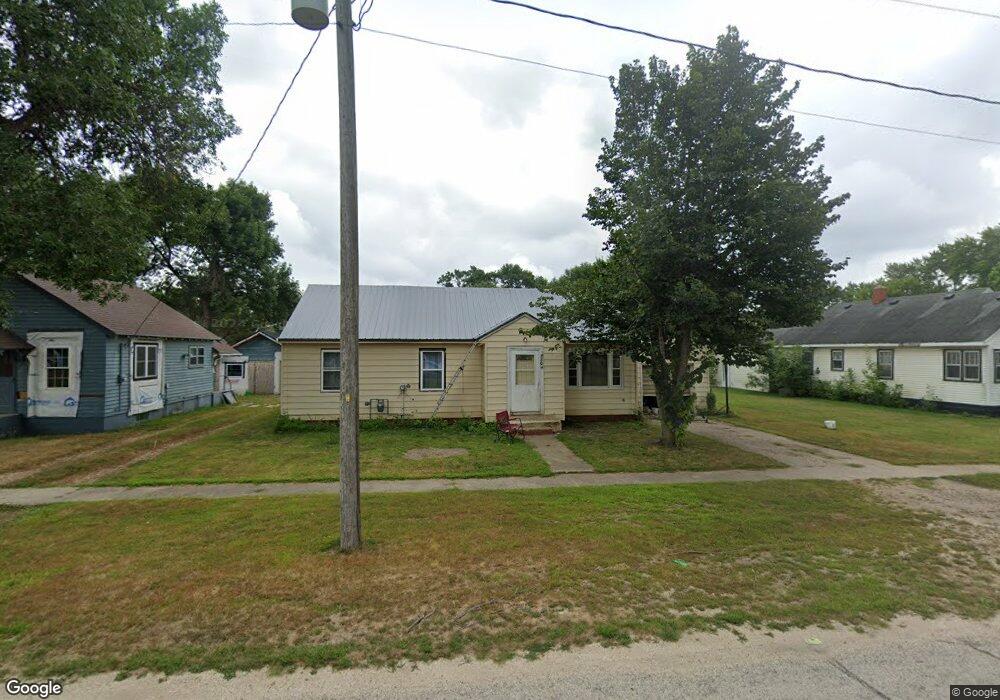
204 N Walnut Ave Graettinger, IA 51342
Estimated Value: $63,000 - $110,000
--
Bed
3
Baths
960
Sq Ft
$89/Sq Ft
Est. Value
About This Home
This home is located at 204 N Walnut Ave, Graettinger, IA 51342 and is currently estimated at $85,510, approximately $89 per square foot. 204 N Walnut Ave is a home located in Palo Alto County with nearby schools including Graettinger-Terril High School, Graettinger-Terril Elementary School, and Graettinger-Terril Middle School.
Ownership History
Date
Name
Owned For
Owner Type
Purchase Details
Closed on
Dec 7, 2022
Sold by
Noble Austin Cameron and Noble Stephanie L
Bought by
Johnson Tanya D
Current Estimated Value
Home Financials for this Owner
Home Financials are based on the most recent Mortgage that was taken out on this home.
Original Mortgage
$52,236
Outstanding Balance
$50,616
Interest Rate
6.95%
Mortgage Type
FHA
Estimated Equity
$34,894
Purchase Details
Closed on
May 28, 2010
Sold by
Noble Katie Elizabeth
Bought by
Noble Austin Cameron
Purchase Details
Closed on
Mar 22, 2006
Sold by
Stover Gerald
Bought by
Noble Austin and Noble Katie
Home Financials for this Owner
Home Financials are based on the most recent Mortgage that was taken out on this home.
Original Mortgage
$43,500
Interest Rate
6.37%
Mortgage Type
New Conventional
Create a Home Valuation Report for This Property
The Home Valuation Report is an in-depth analysis detailing your home's value as well as a comparison with similar homes in the area
Home Values in the Area
Average Home Value in this Area
Purchase History
| Date | Buyer | Sale Price | Title Company |
|---|---|---|---|
| Johnson Tanya D | $53,500 | -- | |
| Noble Austin Cameron | -- | None Available | |
| Noble Austin | $43,500 | None Available |
Source: Public Records
Mortgage History
| Date | Status | Borrower | Loan Amount |
|---|---|---|---|
| Open | Johnson Tanya D | $52,236 | |
| Previous Owner | Noble Austin | $43,500 |
Source: Public Records
Tax History Compared to Growth
Tax History
| Year | Tax Paid | Tax Assessment Tax Assessment Total Assessment is a certain percentage of the fair market value that is determined by local assessors to be the total taxable value of land and additions on the property. | Land | Improvement |
|---|---|---|---|---|
| 2025 | $1,052 | $76,620 | $7,760 | $68,860 |
| 2024 | $1,052 | $63,820 | $5,170 | $58,650 |
| 2023 | $788 | $63,820 | $5,170 | $58,650 |
| 2022 | $780 | $48,860 | $5,170 | $43,690 |
| 2021 | $720 | $48,860 | $5,170 | $43,690 |
| 2020 | $720 | $44,240 | $5,170 | $39,070 |
Source: Public Records
Map
Nearby Homes
- 205 N Lincoln Ave
- 332 Saint James Ave
- 208 N 3rd St
- 107 Nolan Dr
- Lot #50 Rockport
- Lot #51 Rockport
- #47 Ford Rd
- Lot #46 Ford Rd
- Ford Road Lot #44 Rockport First Addition
- Ford Rd Rockport Addition
- 318 Ford Rd
- 408 N Superior St
- 2904 College Dr
- 2707 1st St
- 105 Harrison St
- 80 Lake Shore Dr
- 3102 3rd St
- 206 State St
- 2606 2nd St
- 2604 2nd St
- 206 N Walnut Ave
- 202 N Walnut Ave
- 208 N Walnut Ave
- 305 E Kent St
- 205 N Maple Ave
- 405 E Kent St
- 203 N Maple Ave
- 201 N Walnut Ave
- 207 N Maple Ave
- 402 E Kent St
- 205 N Walnut Ave
- 0 E Des Moines St
- 404 E Kent St
- 302 N Walnut Ave
- 105 N Maple Ave
- 301 N Walnut Ave
- 103 Walnut Ave
- 304 N Walnut Ave
- 501 E Kent St
- 301 N Maple Ave