204 Pennbrook Ln Dallas, PA 18612
Estimated Value: $454,000 - $595,000
4
Beds
3
Baths
3,000
Sq Ft
$177/Sq Ft
Est. Value
About This Home
This home is located at 204 Pennbrook Ln, Dallas, PA 18612 and is currently estimated at $530,261, approximately $176 per square foot. 204 Pennbrook Ln is a home located in Luzerne County with nearby schools including Dallas Senior High School and Cornerstone Christian Academy.
Ownership History
Date
Name
Owned For
Owner Type
Purchase Details
Closed on
Jul 11, 2008
Sold by
Shaffer Robert A
Bought by
Landau Adam M and Landau Patricia A
Current Estimated Value
Home Financials for this Owner
Home Financials are based on the most recent Mortgage that was taken out on this home.
Original Mortgage
$365,750
Outstanding Balance
$237,150
Interest Rate
6.17%
Mortgage Type
Purchase Money Mortgage
Estimated Equity
$293,111
Create a Home Valuation Report for This Property
The Home Valuation Report is an in-depth analysis detailing your home's value as well as a comparison with similar homes in the area
Home Values in the Area
Average Home Value in this Area
Purchase History
| Date | Buyer | Sale Price | Title Company |
|---|---|---|---|
| Landau Adam M | $385,000 | None Available |
Source: Public Records
Mortgage History
| Date | Status | Borrower | Loan Amount |
|---|---|---|---|
| Open | Landau Adam M | $365,750 |
Source: Public Records
Tax History Compared to Growth
Tax History
| Year | Tax Paid | Tax Assessment Tax Assessment Total Assessment is a certain percentage of the fair market value that is determined by local assessors to be the total taxable value of land and additions on the property. | Land | Improvement |
|---|---|---|---|---|
| 2025 | $7,506 | $315,300 | $40,800 | $274,500 |
| 2024 | $7,185 | $315,300 | $40,800 | $274,500 |
| 2023 | $7,027 | $315,300 | $40,800 | $274,500 |
| 2022 | $6,875 | $315,300 | $40,800 | $274,500 |
| 2021 | $6,733 | $315,300 | $40,800 | $274,500 |
| 2020 | $6,701 | $315,300 | $40,800 | $274,500 |
| 2019 | $6,577 | $315,300 | $40,800 | $274,500 |
| 2018 | $6,513 | $315,300 | $40,800 | $274,500 |
| 2017 | $6,421 | $315,300 | $40,800 | $274,500 |
| 2016 | -- | $315,300 | $40,800 | $274,500 |
| 2015 | -- | $315,300 | $40,800 | $274,500 |
| 2014 | -- | $315,300 | $40,800 | $274,500 |
Source: Public Records
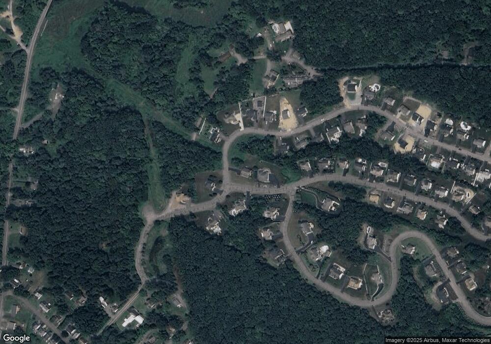
Map
Nearby Homes
- The Burlington Plan at Saddle Ridge
- The Rutherford Plan at Saddle Ridge
- The Edison Plan at Saddle Ridge
- The Abilene Plan at Saddle Ridge
- The Clarksville Plan at Saddle Ridge
- The Standford Plan at Saddle Ridge
- The Baywood Plan at Saddle Ridge
- The Vicksburg Plan at Saddle Ridge
- The Frankford Plan at Saddle Ridge
- The Nottingham Plan at Saddle Ridge
- The Hatteras Plan at Saddle Ridge
- The Monroe Plan at Saddle Ridge
- The Cumberland Plan at Saddle Ridge
- The Roanoke Plan at Saddle Ridge
- The Cameron Plan at Saddle Ridge
- The Brookville Plan at Saddle Ridge
- The Oakridge Plan at Saddle Ridge
- The Greenville Plan at Saddle Ridge
- The Meridian Plan at Saddle Ridge
- The Monterrey Plan at Saddle Ridge
- 208 Pennbrook Ln
- 27 Saddle Ridge Dr
- 27 Saddle Ridge Dr
- 26 Saddle Ridge Dr
- 305 Canter Dr
- 34 Saddle Ridge Dr
- 129 Saddle Ridge Dr
- 100 Saddle Ridge Dr
- 49 Saddle Ridge Dr
- 23 Saddle Ridge Dr
- 307 Canter Dr
- 20 Saddle Ridge Dr
- 216 Pennbrook Ln
- 53 Saddle Ridge Dr
- 220 Pennbrook Ln
- 57 Saddle Ridge Dr
- 310 Canter Dr
- 5&6 Maple St
- 0 Maple St
- 16,18 Maple St