204 Ringneck Dr Montrose, MN 55363
Estimated Value: $326,812 - $342,000
4
Beds
2
Baths
1,058
Sq Ft
$317/Sq Ft
Est. Value
About This Home
This home is located at 204 Ringneck Dr, Montrose, MN 55363 and is currently estimated at $335,703, approximately $317 per square foot. 204 Ringneck Dr is a home located in Wright County with nearby schools including Montrose Elementary School, Buffalo Community Middle School, and Buffalo Senior High School.
Ownership History
Date
Name
Owned For
Owner Type
Purchase Details
Closed on
Apr 14, 2017
Sold by
Lesnau Jesse S and Lesnau Brenda M
Bought by
Vosylius Nickolet Adams and Vosylius Linda
Current Estimated Value
Purchase Details
Closed on
Nov 17, 2006
Sold by
Czech Nicholas P and Czech Erin M
Bought by
Lesnau Jesse S and Lesnau Brenda M
Purchase Details
Closed on
Aug 22, 2002
Sold by
Shade Tree Construction Inc
Bought by
Czech Nicholas P
Purchase Details
Closed on
May 22, 2002
Sold by
Trison Development Inc
Bought by
Shade Tree Construction Inc
Purchase Details
Closed on
Apr 9, 2002
Sold by
Trison Development Inc
Bought by
Shade Tree Construction Inc
Create a Home Valuation Report for This Property
The Home Valuation Report is an in-depth analysis detailing your home's value as well as a comparison with similar homes in the area
Home Values in the Area
Average Home Value in this Area
Purchase History
| Date | Buyer | Sale Price | Title Company |
|---|---|---|---|
| Vosylius Nickolet Adams | $208,000 | Titlesmart Inc | |
| Lesnau Jesse S | $222,000 | -- | |
| Czech Nicholas P | $162,383 | -- | |
| Shade Tree Construction Inc | $67,000 | -- | |
| Shade Tree Construction Inc | $164,000 | -- |
Source: Public Records
Tax History Compared to Growth
Tax History
| Year | Tax Paid | Tax Assessment Tax Assessment Total Assessment is a certain percentage of the fair market value that is determined by local assessors to be the total taxable value of land and additions on the property. | Land | Improvement |
|---|---|---|---|---|
| 2025 | $3,774 | $312,900 | $65,000 | $247,900 |
| 2024 | $3,612 | $305,200 | $65,000 | $240,200 |
| 2023 | $3,554 | $319,600 | $81,000 | $238,600 |
| 2022 | $3,330 | $290,300 | $72,000 | $218,300 |
| 2021 | $3,260 | $237,200 | $40,000 | $197,200 |
| 2020 | $3,138 | $227,600 | $40,000 | $187,600 |
| 2019 | $2,740 | $215,700 | $0 | $0 |
| 2018 | $2,404 | $177,700 | $0 | $0 |
| 2017 | $2,166 | $156,300 | $0 | $0 |
| 2016 | $2,054 | $0 | $0 | $0 |
| 2015 | $2,010 | $0 | $0 | $0 |
| 2014 | -- | $0 | $0 | $0 |
Source: Public Records
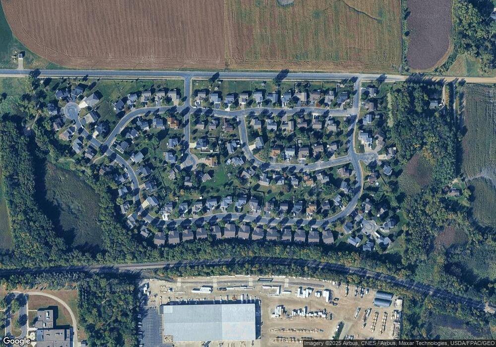
Map
Nearby Homes
- 137 Pheasant Ridge Dr
- 301 Center Ave S
- 161 Mindy Ln Unit 9
- 601 Dillon Ave N
- 607 Dillon Ave N
- 282 Fieldcrest Ave
- 726 7th St N
- 305 Garfield Ave S
- 684 Aspen Ln
- 683 Aspen Ln
- 690 Aspen Ln
- 935 Aspen Ln
- 685 Aspen Ln
- 692 Aspen Ln
- 687 Aspen Ln
- 689 Aspen Ln
- 691 Aspen Ln
- 693 Aspen Ln
- 695 Aspen Ln
- 107 Garner Cir
- 202 Ringneck Dr
- 206 Ringneck Dr
- 167 Pheasant Ridge Dr
- 171 Pheasant Ridge Dr
- 200 Ringneck Dr
- 201 Ringneck Dr
- 203 Pheasant Run Dr
- 208 Ringneck Dr
- 175 Pheasant Ridge Dr
- 205 Pheasant Run Dr
- 203 Ringneck Dr
- 161 Pheasant Ridge Dr
- 179 Pheasant Ridge Dr
- 210 Ringneck Dr
- 214 Quail Dr
- 201 Pheasant Run Dr
- 205 Ringneck Dr
- 216 Quail Dr
- 157 Pheasant Ridge Dr
- 168 Pheasant Ridge Dr