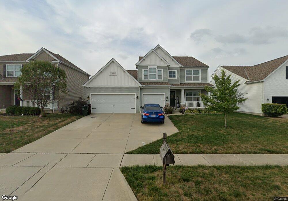
204 Silver Maple Rd Commercial Point, OH 43116
Estimated Value: $441,361 - $512,000
4
Beds
3
Baths
3,125
Sq Ft
$154/Sq Ft
Est. Value
About This Home
This home is located at 204 Silver Maple Rd, Commercial Point, OH 43116 and is currently estimated at $480,590, approximately $153 per square foot. 204 Silver Maple Rd is a home.
Ownership History
Date
Name
Owned For
Owner Type
Purchase Details
Closed on
Mar 6, 2015
Sold by
Westport Homes Inc
Bought by
England Donald M and England Larissa A
Current Estimated Value
Home Financials for this Owner
Home Financials are based on the most recent Mortgage that was taken out on this home.
Original Mortgage
$262,190
Outstanding Balance
$197,548
Interest Rate
3.64%
Mortgage Type
New Conventional
Estimated Equity
$283,042
Purchase Details
Closed on
Oct 23, 2014
Sold by
Saddlebrook Development Llc
Bought by
Westport Homes Inc
Home Financials for this Owner
Home Financials are based on the most recent Mortgage that was taken out on this home.
Original Mortgage
$50,000,000
Interest Rate
4.1%
Mortgage Type
Credit Line Revolving
Create a Home Valuation Report for This Property
The Home Valuation Report is an in-depth analysis detailing your home's value as well as a comparison with similar homes in the area
Home Values in the Area
Average Home Value in this Area
Purchase History
| Date | Buyer | Sale Price | Title Company |
|---|---|---|---|
| England Donald M | $276,000 | Talon Title | |
| Westport Homes Inc | $155,000 | Talon Title Agency Of Centra |
Source: Public Records
Mortgage History
| Date | Status | Borrower | Loan Amount |
|---|---|---|---|
| Open | England Donald M | $262,190 | |
| Previous Owner | Westport Homes Inc | $50,000,000 |
Source: Public Records
Tax History
| Year | Tax Paid | Tax Assessment Tax Assessment Total Assessment is a certain percentage of the fair market value that is determined by local assessors to be the total taxable value of land and additions on the property. | Land | Improvement |
|---|---|---|---|---|
| 2025 | $7,089 | $137,360 | $12,570 | $124,790 |
| 2024 | $7,089 | $137,360 | $12,570 | $124,790 |
| 2023 | $5,166 | $137,360 | $12,570 | $124,790 |
| 2022 | $4,444 | $108,530 | $10,480 | $98,050 |
| 2021 | $4,457 | $108,530 | $10,480 | $98,050 |
| 2020 | $4,458 | $108,530 | $10,480 | $98,050 |
| 2019 | $2,736 | $87,830 | $10,480 | $77,350 |
| 2018 | $3,423 | $87,830 | $10,480 | $77,350 |
| 2017 | $3,513 | $87,830 | $10,480 | $77,350 |
| 2016 | $3,094 | $77,200 | $8,000 | $69,200 |
| 2015 | $1,757 | $42,600 | $8,000 | $34,600 |
| 2014 | $265 | $6,410 | $6,410 | $0 |
Source: Public Records
Map
Nearby Homes
- 182 Honey Locust Ln
- 190 Rosewood Loop SW
- 161 Chestnut Estates Dr
- 159 Chestnut Commons Dr
- 160 Chestnut Commons Dr
- 161 Rosewood Loop SE
- 305 Cherry Hills Rd
- 282 Olympic Loop
- 24 Erin Hills Rd
- 290 Olympic Loop
- 358 Oakmont Dr
- 62 Chambers Bay Rd
- 277 Olympic Loop
- 298 Shady Hollow Dr
- 359 Oakmont Dr
- 304 Cherry Hills Rd
- 305 Olympic Loop
- 56 Chambers Bay Rd
- 507 Walker Pointe Dr
- 66 Genoa Cir
- 206 Silver Maple Rd
- 202 Silver Maple Rd
- 200 Silver Maple Dr
- 208 Silver Maple Rd
- 203 Silver Maple Dr
- 210 Silver Maple Dr
- 222 Honey Locust Ln
- 198 Silver Maple Dr
- 201 Silver Maple Rd
- 199 Silver Maple Rd
- 229 Honey Locust Ln
- 229 Honey Locust Ln Unit 212
- 196 Silver Maple Rd
- 220 Honey Locust Ln Unit 226
- 212 Silver Maple Rd
- 227 Honey Locust Ln
- 197 Silver Maple Rd
- 214 Silver Maple Dr
- 204 Chestnut Estates Dr
- 194 Silver Maple Rd
Your Personal Tour Guide
Ask me questions while you tour the home.