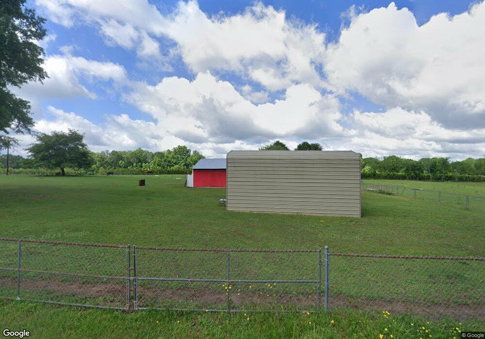
204 Smith Wall Rd Chesnee, SC 29323
Estimated Value: $155,000 - $234,000
3
Beds
2
Baths
1,128
Sq Ft
$166/Sq Ft
Est. Value
About This Home
This home is located at 204 Smith Wall Rd, Chesnee, SC 29323 and is currently estimated at $187,497, approximately $166 per square foot. 204 Smith Wall Rd is a home located in Spartanburg County with nearby schools including Chesnee Elementary School, Chesnee Middle School, and Chesnee High School.
Ownership History
Date
Name
Owned For
Owner Type
Purchase Details
Closed on
Jan 28, 2022
Sold by
Marie Haynes Susan
Bought by
Pardo Angel Juilian
Current Estimated Value
Home Financials for this Owner
Home Financials are based on the most recent Mortgage that was taken out on this home.
Original Mortgage
$157,102
Outstanding Balance
$144,996
Interest Rate
3.22%
Mortgage Type
FHA
Estimated Equity
$42,501
Purchase Details
Closed on
Nov 2, 2015
Sold by
Haynes Broadus T
Bought by
Haynes Susan Marie
Create a Home Valuation Report for This Property
The Home Valuation Report is an in-depth analysis detailing your home's value as well as a comparison with similar homes in the area
Home Values in the Area
Average Home Value in this Area
Purchase History
| Date | Buyer | Sale Price | Title Company |
|---|---|---|---|
| Pardo Angel Juilian | $160,000 | None Listed On Document | |
| Pardo Angel Juilian | $160,000 | None Listed On Document | |
| Haynes Susan Marie | -- | None Available |
Source: Public Records
Mortgage History
| Date | Status | Borrower | Loan Amount |
|---|---|---|---|
| Open | Pardo Angel Juilian | $157,102 | |
| Closed | Pardo Angel Juilian | $157,102 |
Source: Public Records
Tax History
| Year | Tax Paid | Tax Assessment Tax Assessment Total Assessment is a certain percentage of the fair market value that is determined by local assessors to be the total taxable value of land and additions on the property. | Land | Improvement |
|---|---|---|---|---|
| 2025 | $1,171 | $5,742 | $3,196 | $2,546 |
| 2023 | $1,171 | $7,992 | $4,548 | $3,444 |
Source: Public Records
Map
Nearby Homes
- 1145 Turkey Farm Rd
- 351 Smith Wall Rd
- 140 Manor House Ln
- 1543 Highway 11 W
- 565 State Road S-42-1879
- 561 State Road S-42-1879
- 553 State Road S-42-1879
- 549 State Road S-42-1879
- 545 State Road S-42-1879
- 537 State Road S-42-1879
- 519 State Road S-42-1879
- 515 State Road S-42-1879
- 485 State Road S-42-1879
- 812 Old Island Ford Rd
- 202 Arrowood Branch Rd
- 0A Parris Bridge Rd
- 0 Cantrell Dr
- 229 Holly Rd
- 244 Arrowood Branch Rd
- 0 Robbins Rd
- 196 Smith Wall Rd
- 295 Crawford Rd
- 265 Crawford Rd
- 250 Smith Wall Rd
- 120 Painter Rd
- 959 Turkey Farm Rd
- 240 Crawford Rd
- 240 Crawford Rd Unit 250
- 256 Sweetgrass Dr
- 198 Painter Rd
- 252 Sweetgrass Dr
- 150 Painter Rd
- 320 Smith Wall Rd
- 305 Smith Wall Rd
- 255 Sweetgrass Dr
- 255 Sweetgrass Dr
- 1141 Turkey Farm Rd
- 1090 Turkey Farm Rd
- 251 Sweetgrass Dr
- 251 Sweetgrass Dr
Your Personal Tour Guide
Ask me questions while you tour the home.