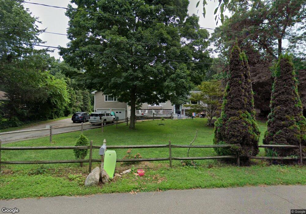
204 Sperry Dr Guilford, CT 06437
Estimated Value: $769,000 - $1,094,000
5
Beds
4
Baths
2,880
Sq Ft
$310/Sq Ft
Est. Value
About This Home
This home is located at 204 Sperry Dr, Guilford, CT 06437 and is currently estimated at $891,651, approximately $309 per square foot. 204 Sperry Dr is a home located in New Haven County with nearby schools including E.C. Adams Middle School, A. Baldwin Middle School, and Guilford High School.
Ownership History
Date
Name
Owned For
Owner Type
Purchase Details
Closed on
Aug 4, 2010
Sold by
Steadman Anna and Steadman Robert
Bought by
Hyman Sandra S
Current Estimated Value
Home Financials for this Owner
Home Financials are based on the most recent Mortgage that was taken out on this home.
Original Mortgage
$80,000
Interest Rate
4.73%
Purchase Details
Closed on
Aug 7, 1995
Sold by
Albies Edward G and Albies Diane C
Bought by
Albies Kevin W and Albies Renee K
Create a Home Valuation Report for This Property
The Home Valuation Report is an in-depth analysis detailing your home's value as well as a comparison with similar homes in the area
Home Values in the Area
Average Home Value in this Area
Purchase History
| Date | Buyer | Sale Price | Title Company |
|---|---|---|---|
| Hyman Sandra S | $495,000 | -- | |
| Albies Kevin W | $190,000 | -- |
Source: Public Records
Mortgage History
| Date | Status | Borrower | Loan Amount |
|---|---|---|---|
| Closed | Albies Kevin W | $71,500 | |
| Closed | Albies Kevin W | $80,000 | |
| Previous Owner | Albies Kevin W | $90,000 |
Source: Public Records
Tax History
| Year | Tax Paid | Tax Assessment Tax Assessment Total Assessment is a certain percentage of the fair market value that is determined by local assessors to be the total taxable value of land and additions on the property. | Land | Improvement |
|---|---|---|---|---|
| 2025 | $11,838 | $428,120 | $189,000 | $239,120 |
| 2024 | $11,379 | $428,120 | $189,000 | $239,120 |
| 2023 | $10,975 | $424,060 | $189,000 | $235,060 |
| 2022 | $8,561 | $257,470 | $131,480 | $125,990 |
| 2021 | $8,399 | $257,470 | $131,480 | $125,990 |
| 2020 | $8,319 | $257,470 | $131,480 | $125,990 |
| 2019 | $8,087 | $252,470 | $131,470 | $121,000 |
| 2018 | $7,897 | $252,470 | $131,470 | $121,000 |
| 2017 | $8,128 | $276,840 | $141,430 | $135,410 |
| 2016 | $7,937 | $276,840 | $141,430 | $135,410 |
| 2015 | $7,818 | $276,840 | $141,430 | $135,410 |
| 2014 | $7,591 | $276,840 | $141,430 | $135,410 |
Source: Public Records
Map
Nearby Homes
- 104 Sperry Dr
- 409 Boston St
- 402 Boston St
- 4 Boston Post Rd
- 80 Seaview Terrace Unit 7
- 156 Stone House Ln
- 505 Old Whitfield St
- 22 Village Cir Unit 22
- 147 Boston St
- 67 Boston Post Rd Unit 8
- 405 Whitfield St Unit 2
- 35 Village Walk Unit 35
- 33 Village Walk Unit 33
- 285 Old Whitfield St
- 379 Whitfield St Unit BN334
- 379 Whitfield St Unit CN946
- 379 Whitfield St Unit AN236
- 379 Whitfield St Unit CS936
- 174 Whitfield St
- 26 Water St
Your Personal Tour Guide
Ask me questions while you tour the home.