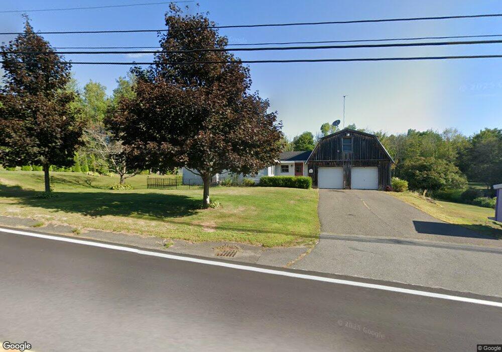
204 Spruce Corner Rd Ashfield, MA 01330
Ashfield NeighborhoodEstimated Value: $393,919 - $446,000
2
Beds
1
Bath
1,271
Sq Ft
$325/Sq Ft
Est. Value
About This Home
This home is located at 204 Spruce Corner Rd, Ashfield, MA 01330 and is currently estimated at $413,640, approximately $325 per square foot. 204 Spruce Corner Rd is a home located in Franklin County with nearby schools including Mohawk Trail Regional High School.
Ownership History
Date
Name
Owned For
Owner Type
Purchase Details
Closed on
Jan 30, 2009
Sold by
Miller Timothy and Miller Amara
Bought by
Gould Dennis A and Gould Judith A
Current Estimated Value
Purchase Details
Closed on
Jan 12, 2009
Sold by
Miller Tamara L
Bought by
Miller Timothy and Miller Amara
Purchase Details
Closed on
Jan 5, 2009
Sold by
Linda A Wilde Lt and Miller Tamara L
Bought by
Miller Tamara L
Purchase Details
Closed on
Sep 19, 2006
Sold by
Wilde Linda A
Bought by
Linda A Wilde Lt and Wilde Linda A
Create a Home Valuation Report for This Property
The Home Valuation Report is an in-depth analysis detailing your home's value as well as a comparison with similar homes in the area
Home Values in the Area
Average Home Value in this Area
Purchase History
| Date | Buyer | Sale Price | Title Company |
|---|---|---|---|
| Gould Dennis A | -- | -- | |
| Miller Timothy | -- | -- | |
| Miller Tamara L | -- | -- | |
| Linda A Wilde Lt | -- | -- |
Source: Public Records
Tax History
| Year | Tax Paid | Tax Assessment Tax Assessment Total Assessment is a certain percentage of the fair market value that is determined by local assessors to be the total taxable value of land and additions on the property. | Land | Improvement |
|---|---|---|---|---|
| 2025 | $4,477 | $332,600 | $97,200 | $235,400 |
| 2024 | $4,466 | $305,700 | $97,200 | $208,500 |
| 2023 | $4,519 | $256,600 | $78,600 | $178,000 |
| 2022 | $4,213 | $242,400 | $75,100 | $167,300 |
| 2021 | $4,469 | $240,900 | $75,100 | $165,800 |
| 2020 | $4,013 | $240,900 | $75,100 | $165,800 |
| 2019 | $3,839 | $223,700 | $72,700 | $151,000 |
| 2018 | $3,843 | $223,700 | $72,700 | $151,000 |
| 2017 | $3,667 | $226,100 | $71,800 | $154,300 |
| 2016 | $3,549 | $215,900 | $71,800 | $144,100 |
| 2015 | $3,448 | $215,900 | $71,800 | $144,100 |
| 2014 | $3,546 | $219,400 | $67,100 | $152,300 |
Source: Public Records
Map
Nearby Homes
- 40 Suburban Dr
- 220 Hawley Rd
- 527 Main St
- 0 Sears Rd Unit 73373850
- 0 John Ford Rd Unit 73403156
- 0 Spruce Corner Rd Unit 73244975
- 333 Ranney Corner Rd
- 311 Cummington Rd
- 240 Beldingville Rd
- 0 N Bear River Rd Unit 73485981
- 146 Berkshire Trail W
- 296 E Main St
- 0 Upper St
- 0 Fuller Rd
- 7 Hog Hollow Rd
- 11 S Chesterfield Rd
- 10 Maple St
- 39 Hawley St
- 54 Porter Hill Rd
- 0, Lot 7 East Rd
- 211 Spruce Corner Rd
- 0 Stonewall Dr
- 230 Spruce Corner Rd
- 199A Stonewall Dr
- 253 Spruce Corner Rd
- 118 Spruce Corner Rd
- 199C Stonewall Dr
- 199D Stonewall Dr
- 199E Stonewall Dr
- 199H Stonewall Dr
- 44 ACRES Spruce Corner
- 694 Suburban Dr
- Lots 6&7 Spruce Corner Rd
- 16 Maple Dr
- 896 Cape St
- 199J Stonewall Dr
- 441 Cape St
- 838 Cape St
- 725 Suburban Dr
- 860 Cape St
Your Personal Tour Guide
Ask me questions while you tour the home.