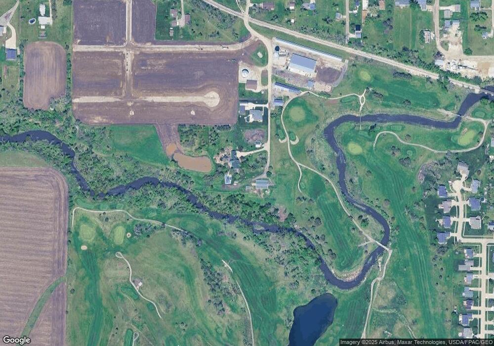
204 Taylor St SW Shellsburg, IA 52332
Estimated Value: $351,000 - $589,545
4
Beds
3
Baths
2,636
Sq Ft
$172/Sq Ft
Est. Value
About This Home
This home is located at 204 Taylor St SW, Shellsburg, IA 52332 and is currently estimated at $453,515, approximately $172 per square foot. 204 Taylor St SW is a home located in Benton County with nearby schools including Shellsburg Elementary School, Vinton-Shellsburg Middle School, and McDaniel Learning Center.
Ownership History
Date
Name
Owned For
Owner Type
Purchase Details
Closed on
Aug 23, 2021
Sold by
Bruce William and Bruce Louise
Bought by
Lubbock Properties Llc
Current Estimated Value
Create a Home Valuation Report for This Property
The Home Valuation Report is an in-depth analysis detailing your home's value as well as a comparison with similar homes in the area
Purchase History
| Date | Buyer | Sale Price | Title Company |
|---|---|---|---|
| Lubbock Properties Llc | $105,000 | None Listed On Document |
Source: Public Records
Tax History Compared to Growth
Tax History
| Year | Tax Paid | Tax Assessment Tax Assessment Total Assessment is a certain percentage of the fair market value that is determined by local assessors to be the total taxable value of land and additions on the property. | Land | Improvement |
|---|---|---|---|---|
| 2025 | $5,534 | $450,700 | $13,000 | $437,700 |
| 2024 | $5,534 | $429,100 | $10,500 | $418,600 |
| 2023 | $5,304 | $429,100 | $10,500 | $418,600 |
| 2022 | $5,148 | $343,700 | $8,100 | $335,600 |
| 2021 | $5,148 | $338,400 | $8,500 | $329,900 |
| 2020 | $4,934 | $343,100 | $8,500 | $334,600 |
| 2019 | $4,846 | $343,100 | $8,500 | $334,600 |
| 2018 | $4,700 | $338,900 | $11,300 | $327,600 |
| 2017 | $4,544 | $338,900 | $11,300 | $327,600 |
| 2016 | $4,410 | $321,200 | $13,600 | $307,600 |
| 2015 | $4,410 | $321,200 | $13,600 | $307,600 |
| 2014 | $4,432 | $326,500 | $0 | $0 |
Source: Public Records
Map
Nearby Homes
- 700 Sunset Blvd
- 804 Fairway Dr
- 105 Meadow Dr
- 6127 32nd Ave Unit Lot 3
- 103 Meadow Dr
- 101 Meadow Dr
- 404 Main St NW
- 205 Grove St NW
- 301 Wildcat Ct
- 201 Grove St NW
- 0 31st Ave
- 6240 33rd Avenue Dr
- 0 31st Ave
- 6115 32nd Ave
- 3127 61st Street Ln
- 2573 Linn Benton Rd
- 2767 61st Street Trail
- 810 Indigo Dr
- 737 Indigo Dr
- 818 Indigo Dr
- 108 Taylor St SW
- 104 Taylor St SW
- 105 Taylor St SW
- 102 England Ct SW
- 3162 64th St
- 508 Main St SW
- 510 Main St SW
- 107 Park St SW
- 104 England Ct SW
- 108 England Ct SW
- 500 Main St SW
- 506 Main St SW
- 106 England Ct SW
- 107 England Ct SW
- 6127 32nd Ave Unit Lot 6
- 6127 32nd Ave Unit Lot 5
- 6127 32nd Ave Unit Lot 4
- 6127 32nd Ave Unit Lot 3
- 6127 32nd Ave Unit 2
- 6127 32nd Ave Unit 1
