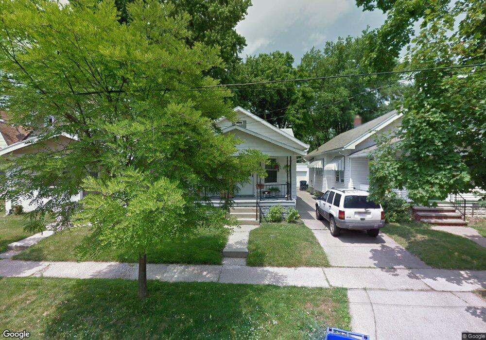
2040 Barrows St Toledo, OH 43613
DeVeaux NeighborhoodEstimated Value: $61,000 - $83,000
2
Beds
1
Bath
804
Sq Ft
$90/Sq Ft
Est. Value
About This Home
This home is located at 2040 Barrows St, Toledo, OH 43613 and is currently estimated at $72,474, approximately $90 per square foot. 2040 Barrows St is a home located in Lucas County with nearby schools including DeVeaux Elementary School, Start High School, and Horizon Science Academy - Toledo High School.
Ownership History
Date
Name
Owned For
Owner Type
Purchase Details
Closed on
Jan 30, 2004
Sold by
Sortman Christopher A
Bought by
Baer Nellie
Current Estimated Value
Purchase Details
Closed on
Oct 27, 1995
Sold by
Szymanski Jeffrey A
Bought by
Sortman Christopher A
Home Financials for this Owner
Home Financials are based on the most recent Mortgage that was taken out on this home.
Original Mortgage
$35,750
Interest Rate
7.65%
Mortgage Type
New Conventional
Purchase Details
Closed on
May 20, 1988
Sold by
Carter Charles H
Create a Home Valuation Report for This Property
The Home Valuation Report is an in-depth analysis detailing your home's value as well as a comparison with similar homes in the area
Home Values in the Area
Average Home Value in this Area
Purchase History
| Date | Buyer | Sale Price | Title Company |
|---|---|---|---|
| Baer Nellie | $56,000 | Northwest Title Agency Of Oh | |
| Sortman Christopher A | $36,900 | -- | |
| -- | $32,900 | -- |
Source: Public Records
Mortgage History
| Date | Status | Borrower | Loan Amount |
|---|---|---|---|
| Previous Owner | Sortman Christopher A | $35,750 |
Source: Public Records
Tax History
| Year | Tax Paid | Tax Assessment Tax Assessment Total Assessment is a certain percentage of the fair market value that is determined by local assessors to be the total taxable value of land and additions on the property. | Land | Improvement |
|---|---|---|---|---|
| 2025 | -- | $19,040 | $6,440 | $12,600 |
| 2024 | $656 | $19,040 | $6,440 | $12,600 |
| 2023 | $1,069 | $16,310 | $3,640 | $12,670 |
| 2022 | $1,068 | $16,310 | $3,640 | $12,670 |
| 2021 | $1,093 | $16,310 | $3,640 | $12,670 |
| 2020 | $1,188 | $15,785 | $3,500 | $12,285 |
| 2019 | $1,159 | $15,785 | $3,500 | $12,285 |
| 2018 | $1,168 | $15,785 | $3,500 | $12,285 |
| 2017 | $1,190 | $15,435 | $3,430 | $12,005 |
| 2016 | $1,188 | $44,100 | $9,800 | $34,300 |
| 2015 | $1,177 | $44,100 | $9,800 | $34,300 |
| 2014 | $971 | $15,440 | $3,430 | $12,010 |
| 2013 | $971 | $15,440 | $3,430 | $12,010 |
Source: Public Records
Map
Nearby Homes
- 2035 Barrows St
- 2020 Berkshire Place
- 2012 Berdan Ave
- 2041 Brame Place
- 3720 Kelly Ave
- 2002 Brame Place
- 1939 Balkan Place
- 1953 Talbot St
- 1818 Barrows St
- 1815 Berdan Ave
- 3664 Sherbrooke Rd
- 3835 Matlack Ave
- 1831 Talbot St
- 1829 Talbot St
- 1750 Berdan Ave
- 4123 Bellevue Rd
- 1816 Loxley Rd
- 2239 Eastbrook Dr
- 1740 Berdan Ave
- 2146 Marlow Rd
- 2044 Barrows St
- 2046 Barrows St
- 2034 Barrows St
- 2032 Barrows St
- 2050 Barrows St
- 2041 Berkshire Place
- 2039 Berkshire Place
- 2045 Berkshire Place
- 2052 Barrows St
- 2028 Barrows St
- 2035 Berkshire Place
- 2047 Berkshire Place
- 2033 Berkshire Place
- 2049 Berkshire Place
- 2026 Barrows St
- 2041 Barrows St
- 2045 Barrows St
- 2029 Berkshire Place
- 2051 Berkshire Place
Your Personal Tour Guide
Ask me questions while you tour the home.