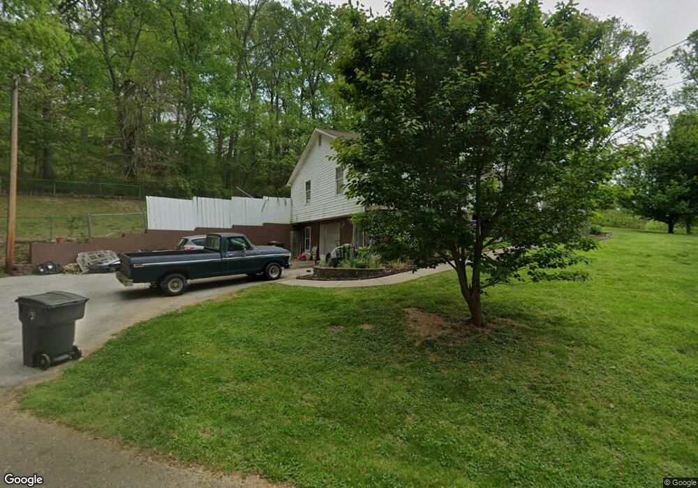
2040 Grove Dale Dr Morristown, TN 37814
Estimated Value: $183,000 - $257,967
--
Bed
1
Bath
1,328
Sq Ft
$168/Sq Ft
Est. Value
About This Home
This home is located at 2040 Grove Dale Dr, Morristown, TN 37814 and is currently estimated at $222,742, approximately $167 per square foot. 2040 Grove Dale Dr is a home located in Hamblen County with nearby schools including Manley Elementary School, West View Middle School, and Morristown West High School.
Ownership History
Date
Name
Owned For
Owner Type
Purchase Details
Closed on
Dec 16, 2004
Sold by
Federal National Mortgage Association
Bought by
Stubblefield Ernest G
Current Estimated Value
Home Financials for this Owner
Home Financials are based on the most recent Mortgage that was taken out on this home.
Original Mortgage
$63,495
Outstanding Balance
$32,133
Interest Rate
5%
Estimated Equity
$190,609
Purchase Details
Closed on
Sep 7, 2004
Bought by
Federal National Mortgage Assoc %Wells Fargo
Purchase Details
Closed on
May 17, 1985
Bought by
Tetzlaff Steven R and Tetzlaff Eva S
Purchase Details
Closed on
Mar 11, 1985
Create a Home Valuation Report for This Property
The Home Valuation Report is an in-depth analysis detailing your home's value as well as a comparison with similar homes in the area
Home Values in the Area
Average Home Value in this Area
Purchase History
| Date | Buyer | Sale Price | Title Company |
|---|---|---|---|
| Stubblefield Ernest G | $70,550 | -- | |
| Federal National Mortgage Assoc %Wells Fargo | $59,700 | -- | |
| Tetzlaff Steven R | -- | -- | |
| -- | -- | -- |
Source: Public Records
Mortgage History
| Date | Status | Borrower | Loan Amount |
|---|---|---|---|
| Open | Not Available | $63,495 |
Source: Public Records
Tax History Compared to Growth
Tax History
| Year | Tax Paid | Tax Assessment Tax Assessment Total Assessment is a certain percentage of the fair market value that is determined by local assessors to be the total taxable value of land and additions on the property. | Land | Improvement |
|---|---|---|---|---|
| 2024 | $591 | $30,025 | $3,950 | $26,075 |
| 2023 | $591 | $30,025 | $0 | $0 |
| 2022 | $591 | $30,025 | $3,950 | $26,075 |
| 2021 | $591 | $30,025 | $3,950 | $26,075 |
| 2020 | $591 | $30,025 | $3,950 | $26,075 |
| 2019 | $550 | $25,825 | $3,950 | $21,875 |
| 2018 | $550 | $25,825 | $3,950 | $21,875 |
| 2017 | $550 | $25,825 | $3,950 | $21,875 |
| 2016 | $514 | $25,825 | $3,950 | $21,875 |
| 2015 | $478 | $25,825 | $3,950 | $21,875 |
| 2014 | -- | $25,825 | $3,950 | $21,875 |
| 2013 | -- | $29,700 | $0 | $0 |
Source: Public Records
Map
Nearby Homes
- 1086 St Ives Ct
- 3641 Meadowland Dr
- 1054 Colonial Dr
- 1701 Old Oak Ln
- 3415 Emerald Ave
- 3864 Apostle Rd
- 837 Foxglove Ln
- 2978 Wilshire Blvd
- 801 Colonial Dr
- 3471 Walden Dr
- 985 Kidwell Ridge Rd
- 3542 Wedgewood Dr
- 3475 Walden Dr
- 725 Barton Dr
- 1736 Jellicorse Rd
- 0 Mcbride Rd
- 700 Drinnon Dr
- 2350 Joe Stephens Rd
- 1855 Joe Stephens Rd
- 1987 Joe Stephens Rd
- 2050 Grove Dale Dr
- 1000 Central Church Rd
- 1986 Grove Dale Dr
- 1062 Central Church Rd
- 2080 Grove Dale Dr
- 990 Central Church Rd
- 982 Central Church Rd
- 2053 Grove Dale Dr
- 1023 Central Church Rd
- 1043 Central Church Rd
- 1090 Central Church Rd
- 1063 Central Church Rd
- 1011 Tennessee Hills Dr
- 1083 Central Church Rd
- 1016 Tennessee Hills Dr
- 1090 Tennessee Hills Dr
- 975 Central Church Rd
- 1097 Tennessee Hills Dr
- 1066 Tennessee Hills Dr
- 1056 Tennessee Hills Dr