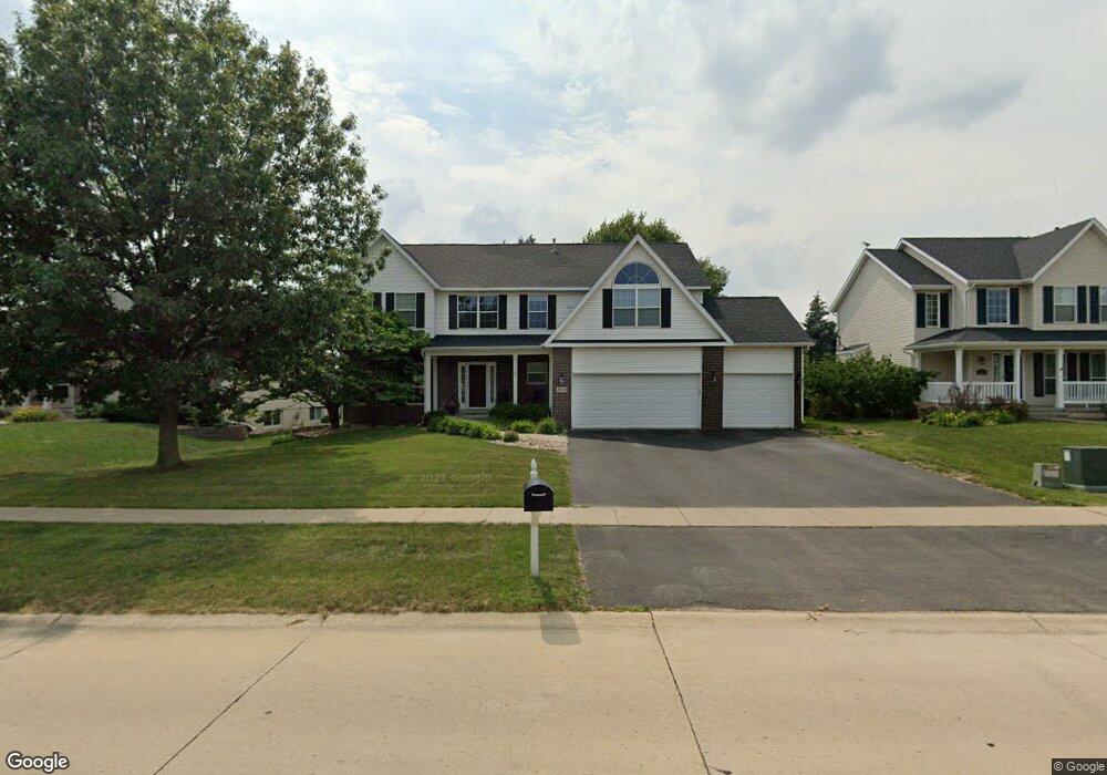
2040 Newcastle Rd Marion, IA 52302
Estimated Value: $393,427 - $459,000
4
Beds
4
Baths
2,628
Sq Ft
$166/Sq Ft
Est. Value
About This Home
This home is located at 2040 Newcastle Rd, Marion, IA 52302 and is currently estimated at $436,107, approximately $165 per square foot. 2040 Newcastle Rd is a home located in Linn County with nearby schools including Echo Hill Elementary School, Oak Ridge School, and Linn-Mar High School.
Ownership History
Date
Name
Owned For
Owner Type
Purchase Details
Closed on
Oct 27, 2010
Sold by
Solis Robert R
Bought by
Solis Christine A
Current Estimated Value
Purchase Details
Closed on
Aug 6, 2003
Sold by
Voegeli Beat and Voegeli Amanda A
Bought by
Judson David and Judson Lisa P
Home Financials for this Owner
Home Financials are based on the most recent Mortgage that was taken out on this home.
Original Mortgage
$208,000
Interest Rate
6.08%
Mortgage Type
Purchase Money Mortgage
Purchase Details
Closed on
Jul 11, 2000
Sold by
Midwest Development Co
Bought by
Voegeli Beat and Voegeli Amanda A
Home Financials for this Owner
Home Financials are based on the most recent Mortgage that was taken out on this home.
Original Mortgage
$262,927
Interest Rate
7.87%
Create a Home Valuation Report for This Property
The Home Valuation Report is an in-depth analysis detailing your home's value as well as a comparison with similar homes in the area
Home Values in the Area
Average Home Value in this Area
Purchase History
| Date | Buyer | Sale Price | Title Company |
|---|---|---|---|
| Solis Christine A | -- | None Available | |
| Judson David | $259,500 | -- | |
| Voegeli Beat | $262,500 | -- |
Source: Public Records
Mortgage History
| Date | Status | Borrower | Loan Amount |
|---|---|---|---|
| Previous Owner | Judson David | $208,000 | |
| Previous Owner | Voegeli Beat | $262,927 | |
| Closed | Judson David | $17,000 |
Source: Public Records
Tax History Compared to Growth
Tax History
| Year | Tax Paid | Tax Assessment Tax Assessment Total Assessment is a certain percentage of the fair market value that is determined by local assessors to be the total taxable value of land and additions on the property. | Land | Improvement |
|---|---|---|---|---|
| 2025 | $7,216 | $414,500 | $42,000 | $372,500 |
| 2024 | $6,470 | $394,200 | $42,000 | $352,200 |
| 2023 | $6,470 | $394,200 | $42,000 | $352,200 |
| 2022 | $6,164 | $300,400 | $42,000 | $258,400 |
| 2021 | $6,320 | $300,400 | $42,000 | $258,400 |
| 2020 | $6,320 | $289,100 | $42,000 | $247,100 |
| 2019 | $5,816 | $266,300 | $42,000 | $224,300 |
| 2018 | $5,586 | $266,300 | $42,000 | $224,300 |
| 2017 | $5,550 | $258,400 | $42,000 | $216,400 |
| 2016 | $5,576 | $258,400 | $42,000 | $216,400 |
| 2015 | $5,597 | $258,400 | $42,000 | $216,400 |
| 2014 | $5,370 | $258,400 | $42,000 | $216,400 |
| 2013 | $5,124 | $258,400 | $42,000 | $216,400 |
Source: Public Records
Map
Nearby Homes
- 2010 Newcastle Rd
- 2140 Newcastle Rd
- 1151 Plumwood Ct NE
- 334 Quiver Ct
- 2525 Plymouth St
- 332 Quiver Ct
- 510 Edinburgh Ave
- 750 Hampshire Dr
- 117 Brentwood Dr NE
- 1942 Bowstring Dr
- 823 Flight Dr
- 1932 Bowstring Dr
- 1930 Bowstring Dr
- 7104 Brentwood Dr NE
- 735 Buckingham Place
- 1112 Portsmith Cir
- 785 Bowstring Dr
- 932 Prescott Ln
- 840 Longbow Ct
- 819 Hampshire Cir
- 2030 Newcastle Rd
- 2050 Newcastle Rd
- 2085 Timber Creek Dr
- 2020 Newcastle Rd
- 2070 Newcastle Rd
- 2055 Timber Creek Dr
- 2045 Newcastle Rd
- 2105 Timber Creek Dr
- 2035 Newcastle Rd
- 2080 Newcastle Rd
- 2025 Timber Creek Dr
- 2075 Newcastle Rd
- 2025 Newcastle Rd
- 2085 Plymouth St
- 2085 Newcastle Rd
- 2090 Newcastle Rd
- 2000 Newcastle Rd
- 2115 Timber Creek Dr
- 2350 Ashwood Ct
- 2015 Newcastle Rd