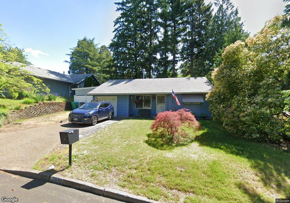
2040 NW Miller Ave Gresham, OR 97030
North Central NeighborhoodEstimated Value: $370,000 - $416,000
2
Beds
1
Bath
869
Sq Ft
$446/Sq Ft
Est. Value
About This Home
This home is located at 2040 NW Miller Ave, Gresham, OR 97030 and is currently estimated at $387,627, approximately $446 per square foot. 2040 NW Miller Ave is a home located in Multnomah County with nearby schools including Highland Elementary School, Clear Creek Middle School, and Gresham High School.
Ownership History
Date
Name
Owned For
Owner Type
Purchase Details
Closed on
Aug 26, 1997
Sold by
Green Linda K
Bought by
Watts Dale E and Watts Denise M
Current Estimated Value
Home Financials for this Owner
Home Financials are based on the most recent Mortgage that was taken out on this home.
Original Mortgage
$112,098
Outstanding Balance
$15,964
Interest Rate
7.43%
Mortgage Type
VA
Estimated Equity
$371,663
Purchase Details
Closed on
Jan 30, 1997
Sold by
Dunlap James E
Bought by
Green Linda K
Home Financials for this Owner
Home Financials are based on the most recent Mortgage that was taken out on this home.
Original Mortgage
$70,000
Interest Rate
7.66%
Mortgage Type
Purchase Money Mortgage
Create a Home Valuation Report for This Property
The Home Valuation Report is an in-depth analysis detailing your home's value as well as a comparison with similar homes in the area
Home Values in the Area
Average Home Value in this Area
Purchase History
| Date | Buyer | Sale Price | Title Company |
|---|---|---|---|
| Watts Dale E | $109,900 | Chicago Title | |
| Green Linda K | -- | Transnation Title Insurance |
Source: Public Records
Mortgage History
| Date | Status | Borrower | Loan Amount |
|---|---|---|---|
| Open | Watts Dale E | $112,098 | |
| Previous Owner | Green Linda K | $70,000 |
Source: Public Records
Tax History
| Year | Tax Paid | Tax Assessment Tax Assessment Total Assessment is a certain percentage of the fair market value that is determined by local assessors to be the total taxable value of land and additions on the property. | Land | Improvement |
|---|---|---|---|---|
| 2025 | $3,532 | $173,580 | -- | -- |
| 2024 | $3,381 | $168,530 | -- | -- |
| 2023 | $3,081 | $163,630 | $0 | $0 |
| 2022 | $2,995 | $158,870 | $0 | $0 |
| 2021 | $2,919 | $154,250 | $0 | $0 |
| 2020 | $2,747 | $149,760 | $0 | $0 |
| 2019 | $2,675 | $145,400 | $0 | $0 |
| 2018 | $2,551 | $141,170 | $0 | $0 |
| 2017 | $2,447 | $137,060 | $0 | $0 |
| 2016 | $2,158 | $133,070 | $0 | $0 |
Source: Public Records
Map
Nearby Homes
- 85 NE 23rd St
- 1035 SE 225th Ave
- 450 NE 22nd St
- 349 NE 18th St
- 1783 1791 NE Beech Place
- 54 NW 13th St
- 2730 NE Roberts Ave
- 2105 NE Cleveland Ave
- 2775 NE Linden Ave
- 920 SE 214th Ave
- 830 SE 214th Ave
- 2578 NE Morlan Ave
- 2200 NE Liberty Ave
- 660 NE 9th St
- 21525 SE Oak St
- 21400 SE Stark St Unit 2
- 0 NE 5th St
- 994 NW Wallula Ave
- 1208 SE 209th Ave
- 21001 SE Yamhill St
- 2160 NW Miller Ave
- 2020 NW Miller Ave
- 2035 NW Earl Ct
- 2145 NW Earl Ct
- 2180 NW Miller Ave
- 2035 NW Miller Ave
- 155 NW 20th St Unit 185
- 2145 NW Miller Ave
- 2025 NW Miller Ave
- 140 NW 22nd St
- 2005 NW Earl Ct Unit 2025
- 255 NW 20th St Unit 275
- 2155 NW Miller Ave
- 120 NW 22nd St
- 2190 NW Miller Ave
- 2165 NW Miller Ave
- 2140 NW Earl Ct
- 2020-2020 NW Earl Ct Unit 2010
- 2000 NW Earl Ct Unit 2020
- 2030 NW Earl Ct
Your Personal Tour Guide
Ask me questions while you tour the home.