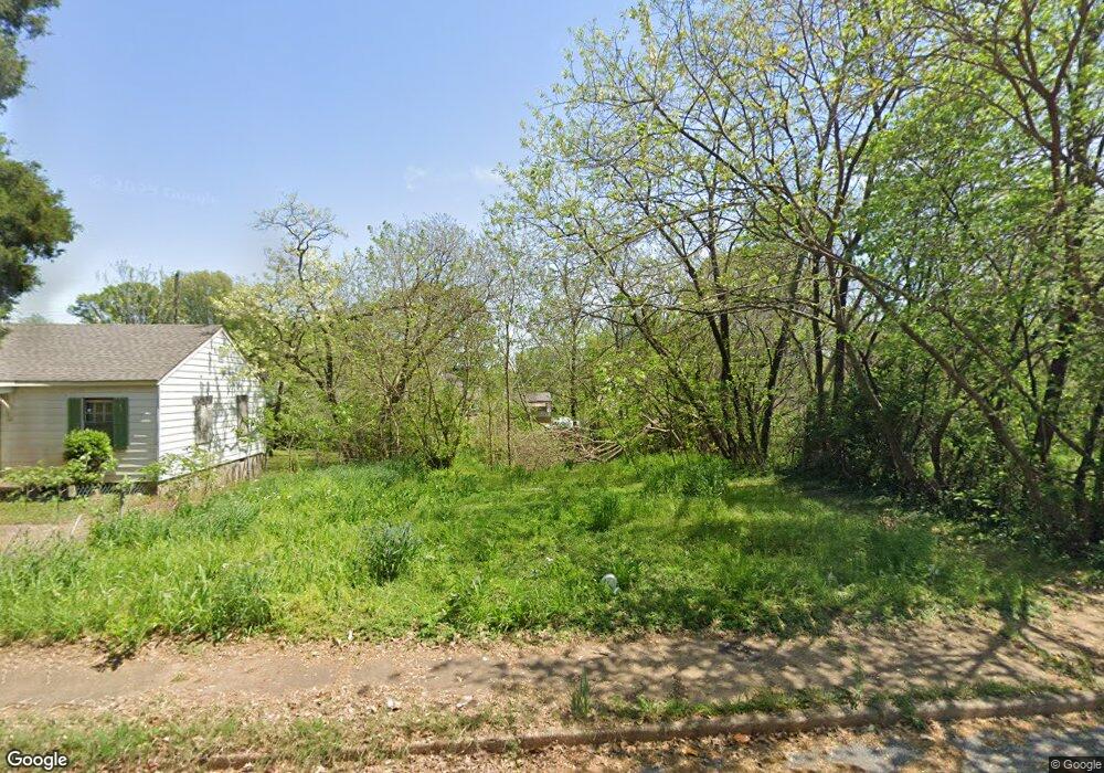
2040 Swift St Memphis, TN 38109
South Memphis NeighborhoodEstimated Value: $351,000
--
Bed
--
Bath
--
Sq Ft
5,140
Sq Ft Lot
About This Home
This home is located at 2040 Swift St, Memphis, TN 38109 and is currently estimated at $351,000. 2040 Swift St is a home located in Shelby County with nearby schools including Riverview Middle School, Hamilton High School, and Vision Preparatory Charter School.
Ownership History
Date
Name
Owned For
Owner Type
Purchase Details
Closed on
Apr 24, 2023
Sold by
County Of Shelby
Bought by
Marshall Myisha
Current Estimated Value
Purchase Details
Closed on
Apr 19, 2002
Sold by
Bank One National Assn
Bought by
Taylor Morris J
Purchase Details
Closed on
Oct 25, 2001
Sold by
Gillard Wanda E
Bought by
Bank One National Assn
Purchase Details
Closed on
Nov 22, 1999
Sold by
Gillard Wayne B Exec and Tiffancy
Bought by
Gillard Wanda E
Home Financials for this Owner
Home Financials are based on the most recent Mortgage that was taken out on this home.
Original Mortgage
$30,400
Interest Rate
11.37%
Create a Home Valuation Report for This Property
The Home Valuation Report is an in-depth analysis detailing your home's value as well as a comparison with similar homes in the area
Home Values in the Area
Average Home Value in this Area
Purchase History
| Date | Buyer | Sale Price | Title Company |
|---|---|---|---|
| Marshall Myisha | $1,013 | None Listed On Document | |
| Taylor Morris J | $14,900 | -- | |
| Bank One National Assn | $12,000 | -- | |
| Gillard Wanda E | -- | Transcontinental Title |
Source: Public Records
Mortgage History
| Date | Status | Borrower | Loan Amount |
|---|---|---|---|
| Previous Owner | Gillard Wanda E | $30,400 |
Source: Public Records
Tax History Compared to Growth
Tax History
| Year | Tax Paid | Tax Assessment Tax Assessment Total Assessment is a certain percentage of the fair market value that is determined by local assessors to be the total taxable value of land and additions on the property. | Land | Improvement |
|---|---|---|---|---|
| 2025 | $30 | $1,250 | $1,250 | -- |
| 2024 | -- | $875 | $875 | -- |
| 2022 | $0 | $0 | $0 | $0 |
| 2021 | $0 | $0 | $0 | $0 |
| 2020 | $0 | $0 | $0 | $0 |
| 2019 | $0 | $0 | $0 | $0 |
| 2018 | $0 | $0 | $0 | $0 |
| 2017 | $0 | $0 | $0 | $0 |
| 2016 | -- | $0 | $0 | $0 |
| 2014 | $35 | $875 | $0 | $0 |
Source: Public Records
Map
Nearby Homes
- 2076 Farrington St
- 2084 Benford St
- 2059 Rile St
- 247 W Frank Ave
- 335 Outer Pkwy
- 380 Outer Pkwy
- 324 Outer Pkwy
- 2095 Rile St
- 2119 Farrington St
- 2100 Riverside Blvd
- 250 1st Ave
- 2099 Rile St
- 20 W Davant Ave
- 1872 Rile St
- 1852 Swift St
- 274 W Mckellar Ave
- 260 W Mckellar Ave
- 123 W Frank Ave
- 247 Modder Ave
- 372 Hollowell Ave