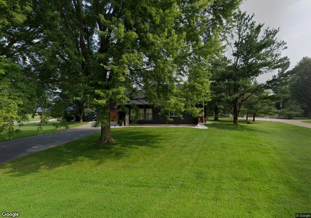
2040 Woodland Dr New Hampton, IA 50659
Estimated Value: $294,000 - $394,000
3
Beds
3
Baths
2,096
Sq Ft
$169/Sq Ft
Est. Value
About This Home
This home is located at 2040 Woodland Dr, New Hampton, IA 50659 and is currently estimated at $353,892, approximately $168 per square foot. 2040 Woodland Dr is a home located in Chickasaw County with nearby schools including New Hampton Elementary School, New Hampton Middle School, and New Hampton High School.
Ownership History
Date
Name
Owned For
Owner Type
Purchase Details
Closed on
Oct 26, 2022
Sold by
Bast Richard A and Bast Colleen M
Bought by
Hoffman Cole S and Hoffman Brandy M
Current Estimated Value
Purchase Details
Closed on
Aug 10, 2009
Sold by
Langreck Michael J and Langreck Haley Y
Bought by
Bast Richard A and Bast Colleen M
Home Financials for this Owner
Home Financials are based on the most recent Mortgage that was taken out on this home.
Original Mortgage
$138,800
Interest Rate
5.29%
Mortgage Type
New Conventional
Purchase Details
Closed on
Nov 2, 2005
Sold by
First Citizens National Bank
Bought by
Langreck Michael J and Langreck Haley L
Home Financials for this Owner
Home Financials are based on the most recent Mortgage that was taken out on this home.
Original Mortgage
$110,400
Interest Rate
6%
Mortgage Type
Adjustable Rate Mortgage/ARM
Create a Home Valuation Report for This Property
The Home Valuation Report is an in-depth analysis detailing your home's value as well as a comparison with similar homes in the area
Home Values in the Area
Average Home Value in this Area
Purchase History
| Date | Buyer | Sale Price | Title Company |
|---|---|---|---|
| Hoffman Cole S | $24,500 | -- | |
| Bast Richard A | $173,500 | None Available | |
| Langreck Michael J | $138,000 | None Available |
Source: Public Records
Mortgage History
| Date | Status | Borrower | Loan Amount |
|---|---|---|---|
| Previous Owner | Bast Richard A | $138,800 | |
| Previous Owner | Langreck Michael J | $110,400 |
Source: Public Records
Tax History Compared to Growth
Tax History
| Year | Tax Paid | Tax Assessment Tax Assessment Total Assessment is a certain percentage of the fair market value that is determined by local assessors to be the total taxable value of land and additions on the property. | Land | Improvement |
|---|---|---|---|---|
| 2025 | $3,096 | $352,000 | $42,800 | $309,200 |
| 2024 | $3,096 | $287,100 | $42,800 | $244,300 |
| 2023 | $3,344 | $292,600 | $48,300 | $244,300 |
| 2022 | $3,202 | $293,500 | $50,900 | $242,600 |
| 2021 | $3,202 | $293,500 | $50,900 | $242,600 |
| 2020 | $2,944 | $254,300 | $22,700 | $231,600 |
| 2019 | $2,510 | $204,500 | $0 | $0 |
| 2018 | $2,510 | $204,500 | $0 | $0 |
| 2017 | $2,488 | $189,800 | $0 | $0 |
| 2016 | $2,322 | $189,800 | $0 | $0 |
| 2015 | $2,094 | $189,800 | $0 | $0 |
| 2014 | $2,094 | $168,700 | $0 | $0 |
Source: Public Records
Map
Nearby Homes
- 2378 Iowa 24
- 806 E Main St
- 712 E Main St
- 602 E Sunrise St
- 709 Evergreen St
- 520 S 1st Ave Unit 116
- 515 N Hartwell Ave
- 320 E Gardner St
- 306 E Prospect St
- 218 E Harrison St
- 246 S Water Ave
- 215 N Chestnut Ave
- 115 E Logan St
- 122 S Walnut Ave
- 000 Greene 726 Rd
- 239 S Linn Ave
- 412 W Spring St
- 501 W Hamilton St
- 2210 S Linn Ave
- 2488 239th St
- 2043 Woodland Dr
- 2041 Woodland Dr
- 2047 Woodland Dr
- 2042 Woodland Dr
- 2045 Woodland Dr
- 2046 Woodland Dr
- 2048 Woodland Dr
- 2049 Woodland Dr
- 2381 Highway 24
- 2379 Ia Hwy 24
- 2379 Highway 24
- 2050 Woodland Dr
- 2384 Highway 24
- 2382 Highway 24
- 2380 Highway 24
- 2378 Highway 24
- 2376 Highway 24
- 2386 Highway 24
- 2388 Highway 24
- 2374 Highway 24