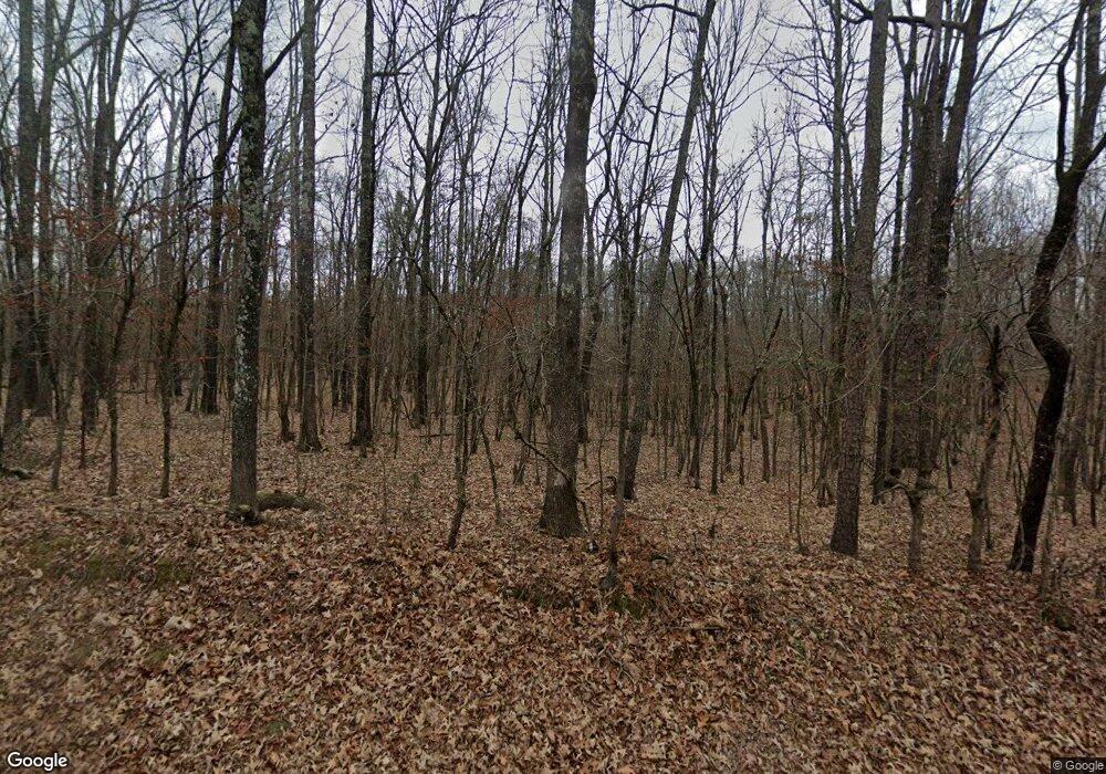
20400 W Acres Rd Little Rock, AR 72210
Estimated Value: $416,654 - $564,000
--
Bed
3
Baths
2,476
Sq Ft
$197/Sq Ft
Est. Value
About This Home
This home is located at 20400 W Acres Rd, Little Rock, AR 72210 and is currently estimated at $487,914, approximately $197 per square foot. 20400 W Acres Rd is a home located in Saline County with nearby schools including Chenal Elementary School, Joe T. Robinson Middle School, and Joe T. Robinson High School.
Ownership History
Date
Name
Owned For
Owner Type
Purchase Details
Closed on
Mar 5, 2012
Bought by
Shamlin
Current Estimated Value
Purchase Details
Closed on
Feb 24, 2012
Bought by
Shamlin
Purchase Details
Closed on
Jan 21, 2006
Sold by
Shamlin Lynn Edward
Bought by
Shamlin Chuck E and Shamlin Debra Y
Purchase Details
Closed on
May 18, 1998
Bought by
Shamlin
Purchase Details
Closed on
Apr 30, 1998
Bought by
Shamlin C
Purchase Details
Closed on
Mar 1, 1991
Bought by
Shamlin
Purchase Details
Closed on
Feb 1, 1989
Bought by
Crossland
Create a Home Valuation Report for This Property
The Home Valuation Report is an in-depth analysis detailing your home's value as well as a comparison with similar homes in the area
Home Values in the Area
Average Home Value in this Area
Purchase History
| Date | Buyer | Sale Price | Title Company |
|---|---|---|---|
| Shamlin | -- | -- | |
| Shamlin | -- | -- | |
| Shamlin Chuck E | -- | -- | |
| Shamlin | -- | -- | |
| Shamlin C | -- | -- | |
| Shamlin | $15,000 | -- | |
| Crossland | $11,000 | -- |
Source: Public Records
Tax History Compared to Growth
Tax History
| Year | Tax Paid | Tax Assessment Tax Assessment Total Assessment is a certain percentage of the fair market value that is determined by local assessors to be the total taxable value of land and additions on the property. | Land | Improvement |
|---|---|---|---|---|
| 2025 | $2,888 | $65,060 | $5,780 | $59,280 |
| 2024 | $2,888 | $65,060 | $5,780 | $59,280 |
| 2023 | $2,432 | $65,060 | $5,780 | $59,280 |
| 2022 | $2,312 | $65,060 | $5,780 | $59,280 |
| 2021 | $2,186 | $49,830 | $2,890 | $46,940 |
| 2020 | $2,186 | $49,830 | $2,890 | $46,940 |
| 2019 | $2,186 | $49,830 | $2,890 | $46,940 |
| 2018 | $2,122 | $49,830 | $2,890 | $46,940 |
| 2017 | $1,948 | $48,490 | $2,890 | $45,600 |
| 2016 | $2,141 | $42,480 | $2,890 | $39,590 |
| 2015 | $2,026 | $40,190 | $2,890 | $37,300 |
| 2014 | $1,627 | $39,220 | $2,890 | $36,330 |
Source: Public Records
Map
Nearby Homes
- 211 County Line Rd
- 24923 Colonel Glenn Rd
- 0 Serenity Dr
- 20377 Congo Ferndale Rd
- 12433 Raindrop Ln
- 32315 Kanis Rd
- 466 Rock Ridge Rd
- 5 Jabo Lake Rd
- 0 Fox Ridge Rd Unit 25010505
- Lot 4 Barry Ln
- Lot 3 Barry Ln
- Lot 2 Barry Ln
- Lot 1 Barry Ln
- 1516 E Lawson Rd Unit 1512
- 25501 Kanis Rd
- 2003 Lambert Rd
- 23201 Barry Ln
- 000 Foxridge Rd
- 22125 Colonel Glenn Rd
- 23 Witness Tree Ln
