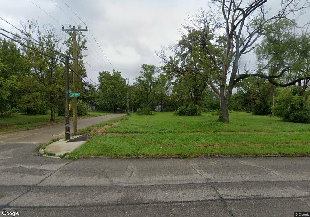
20401 Lyndon St Detroit, MI 48223
Brightmoor NeighborhoodEstimated Value: $46,000 - $121,000
--
Bed
1
Bath
925
Sq Ft
$90/Sq Ft
Est. Value
About This Home
This home is located at 20401 Lyndon St, Detroit, MI 48223 and is currently estimated at $83,500, approximately $90 per square foot. 20401 Lyndon St is a home located in Wayne County with nearby schools including Gompers Elementary-Middle School, Charles L. Spain Elementary-Middle School, and Edward 'Duke' Ellington Conservatory of Music and Art.
Ownership History
Date
Name
Owned For
Owner Type
Purchase Details
Closed on
Jun 10, 2015
Sold by
The City Of Detroit
Bought by
The Detroit Land Bank Authority
Current Estimated Value
Purchase Details
Closed on
Jan 6, 2011
Sold by
Wojtowicz Raymond J
Bought by
Planning & Development Dept City Of Detr
Purchase Details
Closed on
Aug 16, 2006
Sold by
Adams Phillip
Bought by
Vincent Brando
Purchase Details
Closed on
Jun 16, 2004
Sold by
Adams Philip
Bought by
Vincent Brando
Purchase Details
Closed on
May 5, 2002
Sold by
Lewis Alton and Lewis Katie
Bought by
Adams Phillip
Create a Home Valuation Report for This Property
The Home Valuation Report is an in-depth analysis detailing your home's value as well as a comparison with similar homes in the area
Home Values in the Area
Average Home Value in this Area
Purchase History
| Date | Buyer | Sale Price | Title Company |
|---|---|---|---|
| The Detroit Land Bank Authority | -- | Attorney | |
| Planning & Development Dept City Of Detr | -- | None Available | |
| Vincent Brando | -- | State Title | |
| Vincent Brando | $10,000 | None Available | |
| Adams Phillip | $12,000 | None Available |
Source: Public Records
Tax History Compared to Growth
Tax History
| Year | Tax Paid | Tax Assessment Tax Assessment Total Assessment is a certain percentage of the fair market value that is determined by local assessors to be the total taxable value of land and additions on the property. | Land | Improvement |
|---|---|---|---|---|
| 2025 | -- | $0 | $0 | $0 |
| 2024 | -- | $0 | $0 | $0 |
| 2023 | $0 | $0 | $0 | $0 |
| 2022 | $0 | $0 | $0 | $0 |
| 2021 | $0 | $0 | $0 | $0 |
| 2020 | $1,166 | $0 | $0 | $0 |
| 2019 | $1,166 | $0 | $0 | $0 |
| 2018 | $0 | $0 | $0 | $0 |
| 2017 | -- | $0 | $0 | $0 |
| 2016 | -- | $0 | $0 | $0 |
| 2015 | -- | $0 | $0 | $0 |
| 2013 | $1,166 | $0 | $0 | $0 |
| 2010 | -- | $17,640 | $772 | $16,868 |
Source: Public Records
Map
Nearby Homes
- 20511 Lyndon St
- 14561 Stout St
- 14598 Heyden St
- 14195 Kentfield St
- 14175 Kentfield St
- 14616 Vaughan St
- 14526 Evergreen Rd
- 14532 Evergreen Rd
- 14352 Evergreen Rd
- 14844 Heyden St
- 19651 Lyndon St
- 14910 Heyden St
- 14032 Patton St
- 14258 Plainview Ave
- 14305 Auburn St
- 14171 Plainview Ave
- 14054 Vaughan St
- 14118 Evergreen Rd
- 14338 Minock St
- 19431 Lyndon St
- 20411 Lyndon St
- 14433 Stout St
- 14425 Stout St
- 20421 Lyndon St
- 20429 Lyndon St
- 20337 Lyndon St
- 14417 Stout St
- 14411 Stout St
- 14422 Fielding St
- 20329 Lyndon St
- 14416 Stout St
- 20321 Lyndon St
- 14432 Fielding St
- 20400 Lyndon St
- 20447 Lyndon St
- 14412 Fielding St
- 20410 Lyndon St
- 14401 Stout St
- 14408 Stout St
- 20426 Lyndon St