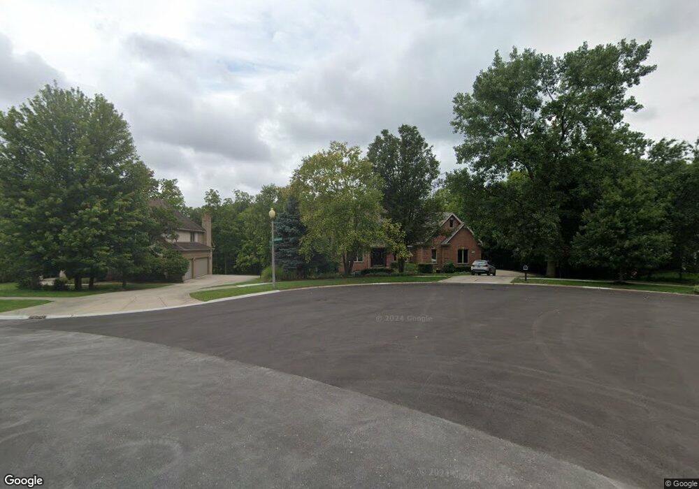
20408 Ashford Cir Mokena, IL 60448
Estimated Value: $722,597 - $926,000
4
Beds
4
Baths
3,841
Sq Ft
$210/Sq Ft
Est. Value
About This Home
This home is located at 20408 Ashford Cir, Mokena, IL 60448 and is currently estimated at $804,899, approximately $209 per square foot. 20408 Ashford Cir is a home located in Will County with nearby schools including Mokena Elementary School, Mokena Intermediate School, and Mokena Jr High School.
Ownership History
Date
Name
Owned For
Owner Type
Purchase Details
Closed on
Jan 11, 2013
Sold by
Chicago Title Land Trust Co
Bought by
Warren Garrett J and Warren Michelle E
Current Estimated Value
Purchase Details
Closed on
Sep 26, 2001
Sold by
Founders Bank
Bought by
Warren Garrett J and Warren Michelle E
Home Financials for this Owner
Home Financials are based on the most recent Mortgage that was taken out on this home.
Original Mortgage
$355,000
Interest Rate
7.25%
Purchase Details
Closed on
Mar 30, 1998
Sold by
Standard Bank & Trust Company
Bought by
Warren Garrett and Warren Michelle
Home Financials for this Owner
Home Financials are based on the most recent Mortgage that was taken out on this home.
Original Mortgage
$80,000
Interest Rate
7.27%
Create a Home Valuation Report for This Property
The Home Valuation Report is an in-depth analysis detailing your home's value as well as a comparison with similar homes in the area
Home Values in the Area
Average Home Value in this Area
Purchase History
| Date | Buyer | Sale Price | Title Company |
|---|---|---|---|
| Warren Garrett J | -- | None Available | |
| Warren Garrett J | -- | Rei Title | |
| Warren Garrett | $125,000 | -- |
Source: Public Records
Mortgage History
| Date | Status | Borrower | Loan Amount |
|---|---|---|---|
| Previous Owner | Warren Garrett J | $355,000 | |
| Previous Owner | Warren Garrett | $80,000 |
Source: Public Records
Tax History Compared to Growth
Tax History
| Year | Tax Paid | Tax Assessment Tax Assessment Total Assessment is a certain percentage of the fair market value that is determined by local assessors to be the total taxable value of land and additions on the property. | Land | Improvement |
|---|---|---|---|---|
| 2024 | $17,476 | $238,374 | $69,819 | $168,555 |
| 2023 | $17,476 | $212,891 | $62,355 | $150,536 |
| 2022 | $16,610 | $193,908 | $56,795 | $137,113 |
| 2021 | $14,403 | $181,409 | $53,134 | $128,275 |
| 2020 | $14,117 | $176,297 | $51,637 | $124,660 |
| 2019 | $13,690 | $171,579 | $50,255 | $121,324 |
| 2018 | $13,247 | $166,646 | $48,810 | $117,836 |
| 2017 | $13,014 | $162,756 | $47,671 | $115,085 |
| 2016 | $12,665 | $157,177 | $46,037 | $111,140 |
| 2015 | $12,341 | $151,642 | $44,416 | $107,226 |
| 2014 | $12,341 | $150,588 | $44,107 | $106,481 |
| 2013 | $12,341 | $152,541 | $44,679 | $107,862 |
Source: Public Records
Map
Nearby Homes
- 11525 Edgewood Dr
- 11420 Kluth Dr
- 501 Bryan Trail
- 190 Pottawatomie Ln
- 20600 S Old Wolf Rd
- 319 W Circle Dr
- 11326 Wexford Dr
- 2667 E Lincoln Hwy
- 11348 Wild Berry Ln
- 11051 Elmwood Ct
- 21170 Sage Brush Ln
- 651 Schooner Dr
- 12526 Surrey Ct
- 21244 Sage Brush Ln
- 12118 Sarkis Dr
- 12415 Foxborough Dr
- 19909 Foxborough Dr
- 11323 1st St
- 11325 1st St
- 21334 Sage Brush Ln
- 20418 Ashford Cir
- 11720 Old Castle Dr
- 20428 Ashford Cir
- 11710 Old Castle Dr
- 11703 Old Castle Dr
- 11702 Old Castle Dr
- 20438 Ashford Cir
- 11700 Swinford Ln
- 11642 Old Castle Dr
- 11641 Old Castle Dr
- 11640 Swinford Ln
- 11721 Swinford Ln
- 11634 Old Castle Dr
- 11633 Old Castle Dr
- 11701 Swinford Ln
- 11628 Swinford Ln
- 11643 Swinford Ln
- 11626 Old Castle Dr
- 11631 Swinford Ln
- 11616 Old Castle Dr
