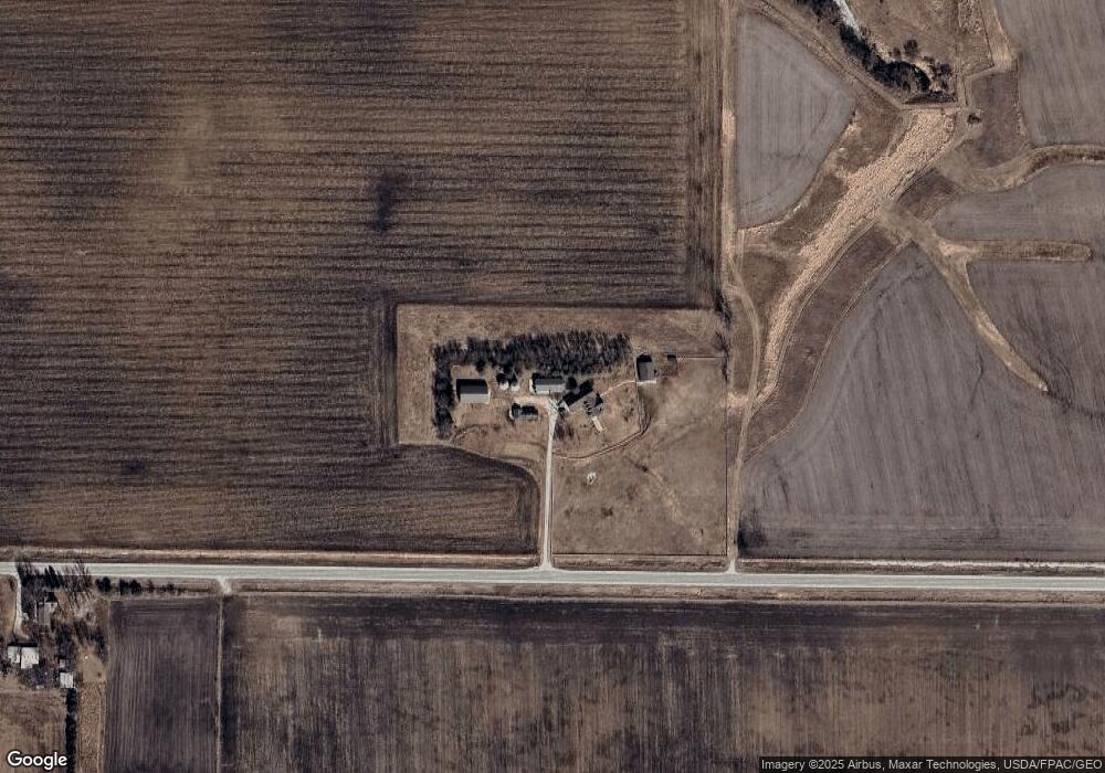
2041 140th St Fort Dodge, IA 50501
Estimated Value: $459,000 - $715,915
4
Beds
3
Baths
2,749
Sq Ft
$214/Sq Ft
Est. Value
About This Home
This home is located at 2041 140th St, Fort Dodge, IA 50501 and is currently estimated at $587,458, approximately $213 per square foot. 2041 140th St is a home located in Webster County with nearby schools including Manson Northwest Webster Elementary School and Manson Northwest Webster Junior/Senior High School.
Ownership History
Date
Name
Owned For
Owner Type
Purchase Details
Closed on
Aug 14, 2006
Sold by
Hett Luella D
Bought by
Stoebe Kurt J and Stoebe Elizabeth W
Current Estimated Value
Home Financials for this Owner
Home Financials are based on the most recent Mortgage that was taken out on this home.
Original Mortgage
$700,000
Interest Rate
8%
Mortgage Type
FHA
Create a Home Valuation Report for This Property
The Home Valuation Report is an in-depth analysis detailing your home's value as well as a comparison with similar homes in the area
Home Values in the Area
Average Home Value in this Area
Purchase History
| Date | Buyer | Sale Price | Title Company |
|---|---|---|---|
| Stoebe Kurt J | $450,000 | None Available |
Source: Public Records
Mortgage History
| Date | Status | Borrower | Loan Amount |
|---|---|---|---|
| Closed | Stoebe Kurt J | $700,000 |
Source: Public Records
Tax History Compared to Growth
Tax History
| Year | Tax Paid | Tax Assessment Tax Assessment Total Assessment is a certain percentage of the fair market value that is determined by local assessors to be the total taxable value of land and additions on the property. | Land | Improvement |
|---|---|---|---|---|
| 2025 | $7,238 | $672,850 | $89,040 | $583,810 |
| 2024 | $7,238 | $618,890 | $65,880 | $553,010 |
| 2023 | $6,594 | $618,890 | $65,880 | $553,010 |
| 2022 | $6,340 | $501,140 | $49,010 | $452,130 |
| 2021 | $6,154 | $505,590 | $53,460 | $452,130 |
| 2020 | $6,154 | $472,040 | $51,200 | $420,840 |
| 2019 | $5,568 | $464,370 | $51,200 | $413,170 |
| 2018 | $5,528 | $449,820 | $70,160 | $379,660 |
| 2017 | $5,528 | $416,620 | $0 | $0 |
| 2016 | $4,998 | $416,620 | $0 | $0 |
| 2015 | $4,998 | $435,540 | $0 | $0 |
| 2014 | $5,114 | $435,540 | $0 | $0 |
Source: Public Records
Map
Nearby Homes
- 1332 Deercreek Dr
- 2244 141st St
- 2236 Lakewood Trail
- 2227 Lakewood Trail
- 1627 National Ave
- 1527 28th Ave N
- 1040 25th Ave N
- 2731 N 13th Place
- Parcel 0613352005
- 1161 25th Ave N
- 2517 N 15th Place
- 2454 170th St
- 217 2nd Ave SE
- 353 4th St NW
- 420 E Front St
- 304 2nd St NW
- 1751 Jonathan Dr
- 114 6th St SE
- 1210 N 9th St
- 76 6th St SE
- 2014 140th St
- 2031 Deer Run
- 2027 Deercreek Dr
- 2027 Deer Run
- 1357 Meadow Ln
- 1372 Lainson Ave
- 1353 Deercreek Dr
- 1431 Lainson Ave
- 1350 Deercreek Dr
- 1359 Meadow Ln
- 1358 Meadow Ln
- 2015 Deer Run
- 1361 Meadow Ln
- 1352 Meadow Ln
- 1341 Deercreek Dr
- 2013 Deer Run
- 1360 Meadow Ln
- 1348 Meadow Ln
- 2012 Oak Cir
- 2016 Oak Cir