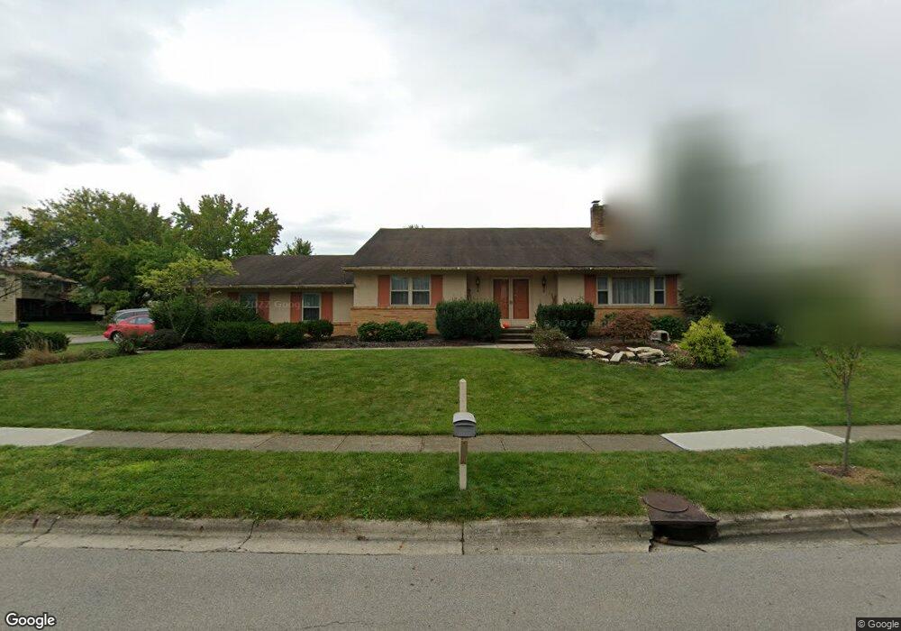
2041 Atterbury Ave Columbus, OH 43229
Northgate NeighborhoodEstimated Value: $349,629 - $387,000
3
Beds
3
Baths
2,558
Sq Ft
$143/Sq Ft
Est. Value
About This Home
This home is located at 2041 Atterbury Ave, Columbus, OH 43229 and is currently estimated at $365,407, approximately $142 per square foot. 2041 Atterbury Ave is a home located in Franklin County with nearby schools including Northgate Intermediate, Alpine Elementary School, and Woodward Park Middle School.
Ownership History
Date
Name
Owned For
Owner Type
Purchase Details
Closed on
Feb 1, 1986
Current Estimated Value
Create a Home Valuation Report for This Property
The Home Valuation Report is an in-depth analysis detailing your home's value as well as a comparison with similar homes in the area
Home Values in the Area
Average Home Value in this Area
Purchase History
| Date | Buyer | Sale Price | Title Company |
|---|---|---|---|
| -- | -- | -- |
Source: Public Records
Tax History Compared to Growth
Tax History
| Year | Tax Paid | Tax Assessment Tax Assessment Total Assessment is a certain percentage of the fair market value that is determined by local assessors to be the total taxable value of land and additions on the property. | Land | Improvement |
|---|---|---|---|---|
| 2024 | $4,552 | $101,430 | $23,030 | $78,400 |
| 2023 | $4,494 | $101,430 | $23,030 | $78,400 |
| 2022 | $3,850 | $74,240 | $15,820 | $58,420 |
| 2021 | $3,857 | $74,240 | $15,820 | $58,420 |
| 2020 | $3,862 | $74,240 | $15,820 | $58,420 |
| 2019 | $3,595 | $59,260 | $12,640 | $46,620 |
| 2018 | $3,405 | $59,260 | $12,640 | $46,620 |
| 2017 | $3,593 | $59,260 | $12,640 | $46,620 |
| 2016 | $3,550 | $53,590 | $12,360 | $41,230 |
| 2015 | $3,223 | $53,590 | $12,360 | $41,230 |
| 2014 | $3,230 | $53,590 | $12,360 | $41,230 |
| 2013 | $1,677 | $56,420 | $13,020 | $43,400 |
Source: Public Records
Map
Nearby Homes
- 6658 Walbridge St
- 1947 Rockdale Dr Unit 33
- 2120 Willowick Dr Unit B
- 6448 Sharon Woods Blvd Unit B
- 6496 Hearthstone Ave
- 6355 Johnanne St
- 6407 Skywae Dr
- 1635 Tendril Ct
- 6245 Sharon Woods Blvd
- 2197 Bayfield Dr
- 6458 Faircrest Rd
- 6342 Bellmeadow Dr
- 2292 Laurelwood Dr Unit 2292L
- 6407 Faircrest Rd
- 6048 Pinemoor St
- 1421 Bosworth Place
- 1409 Bosworth Place
- 465 W Schrock Rd
- 1322 Bolenhill Ct
- 2721 Woodland Trail Dr Unit 2721
- 6703 Belleshire St
- 2031 Atterbury Ave
- 6708 Kennerdown St
- 6695 Belleshire St
- 2048 Atterbury Ave
- 6700 Belleshire St
- 2040 Atterbury Ave
- 2058 Atterbury Ave
- 6700 Kennerdown St
- 2032 Atterbury Ave
- 6687 Belleshire St
- 2066 Atterbury Ave
- 9999 Kennerdown St
- 2024 Atterbury Ave
- 6694 Belleshire St
- 2077 Atterbury Ave
- 6690 Kennerdown St
- 2076 Atterbury Ave
- 2014 Atterbury Ave
- 6681 Belleshire St