2041 C C C Rd Dickson, TN 37055
Tennessee City NeighborhoodEstimated Value: $712,555 - $744,000
Studio
4
Baths
2,040
Sq Ft
$357/Sq Ft
Est. Value
About This Home
This home is located at 2041 C C C Rd, Dickson, TN 37055 and is currently estimated at $728,278, approximately $356 per square foot. 2041 C C C Rd is a home located in Dickson County with nearby schools including Centennial Elementary School, Dickson Middle School, and Dickson County High School.
Ownership History
Date
Name
Owned For
Owner Type
Purchase Details
Closed on
Sep 15, 1992
Bought by
Wilson Roy N and Wilson Rita L
Current Estimated Value
Purchase Details
Closed on
Jun 9, 1992
Bought by
Wilson Roy N and Wilson Rita L
Purchase Details
Closed on
May 8, 1981
Bought by
Wilson Roy N and Wilson Rita L
Create a Home Valuation Report for This Property
The Home Valuation Report is an in-depth analysis detailing your home's value as well as a comparison with similar homes in the area
Home Values in the Area
Average Home Value in this Area
Purchase History
| Date | Buyer | Sale Price | Title Company |
|---|---|---|---|
| Wilson Roy N | -- | -- | |
| Wilson Roy N | -- | -- | |
| Wilson Roy N | -- | -- |
Source: Public Records
Tax History
| Year | Tax Paid | Tax Assessment Tax Assessment Total Assessment is a certain percentage of the fair market value that is determined by local assessors to be the total taxable value of land and additions on the property. | Land | Improvement |
|---|---|---|---|---|
| 2025 | $2,737 | $161,925 | $75,575 | $86,350 |
| 2024 | $2,602 | $153,975 | $75,575 | $78,400 |
| 2023 | $2,117 | $90,075 | $31,850 | $58,225 |
| 2022 | $2,117 | $90,075 | $31,850 | $58,225 |
| 2021 | $2,117 | $90,075 | $31,850 | $58,225 |
| 2020 | $2,117 | $90,075 | $31,850 | $58,225 |
| 2019 | $2,117 | $90,075 | $31,850 | $58,225 |
| 2018 | $2,063 | $76,400 | $31,275 | $45,125 |
| 2017 | $2,063 | $76,400 | $31,275 | $45,125 |
| 2016 | $2,063 | $76,400 | $31,275 | $45,125 |
| 2015 | $2,002 | $69,025 | $31,275 | $37,750 |
| 2014 | $2,002 | $69,025 | $31,275 | $37,750 |
Source: Public Records
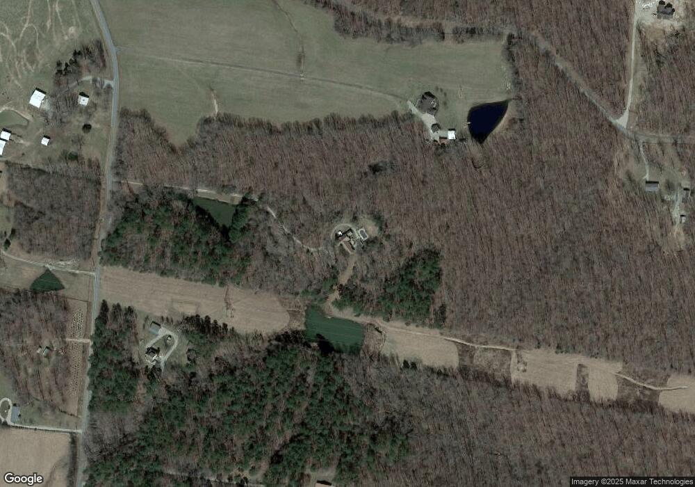
Map
Nearby Homes
- 766 Billy Wynn Rd
- 1547 Manley Loop
- 0 Billy Wynn Rd
- 1640 Eno Rd
- 607 Rocky Dr
- 611 Rocky Dr
- 639 Pruett Rd
- 0 Grindstone Hollow Rd
- 1 Hillcrest Rd
- 169 Duke Rd
- 394 Pruett Rd
- 181 Duke Rd
- 180 Old Garners Creek Rd
- 511 Grindstone Hollow Rd
- 2210 Garners Creek Rd
- 547 Grindstone Hollow Rd
- 2206 Highway 48 S
- 210 Donegan Crossing Rd
- 1592 Gilliam Hollow Rd
- 1588 Gilliam Hollow Rd
- 2041 C C C Rd
- 2027 C C C Rd
- 2055 C C C Rd
- 670 Billy Wynn Rd
- 0 Billy Wynn Road Tract 9 Unit 1894127
- 0 Billy Wynn Road Tract 9 Unit 1881539
- 2040 C C C Rd
- 2040 C C C Rd
- 2036 C C C Rd
- 2036 C C C Rd
- 0 Billy Wynn Road Tract 8&9 Unit 1914342
- 705 Billy Wynn Rd
- 2042 C C C Rd
- 1968 C C C Rd
- 749 Billy Wynn Rd
- 749 Billy Wynn Rd
- 1955 C C C Rd
- 1955 C C C Rd
- 750 Billy Wynn Rd
- 1965 C C C Rd
Your Personal Tour Guide
Ask me questions while you tour the home.