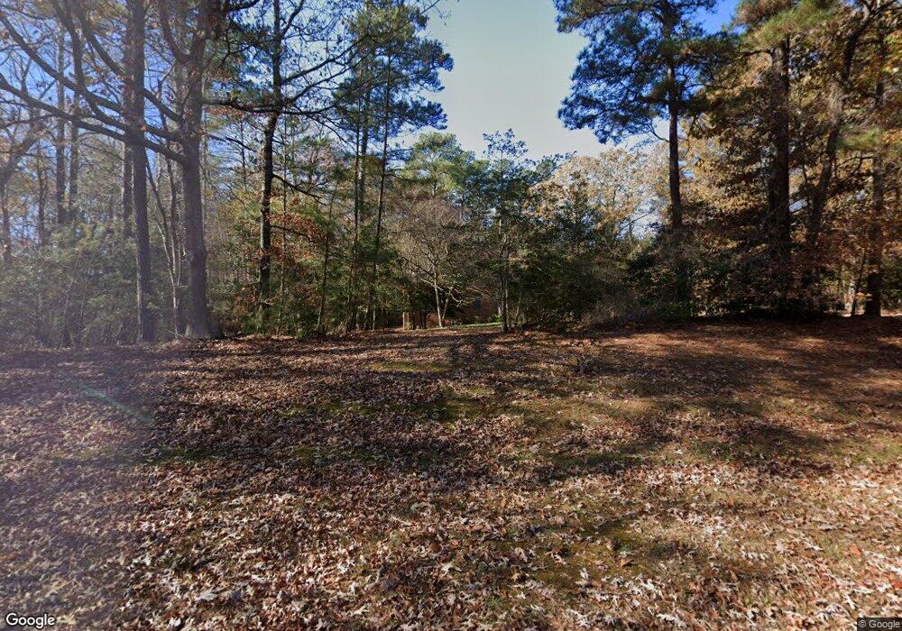
2041 Laurel Point Rd Lancaster, VA 22503
Estimated Value: $706,637 - $827,000
4
Beds
5
Baths
3,386
Sq Ft
$230/Sq Ft
Est. Value
About This Home
This home is located at 2041 Laurel Point Rd, Lancaster, VA 22503 and is currently estimated at $778,409, approximately $229 per square foot. 2041 Laurel Point Rd is a home located in Lancaster County with nearby schools including Lancaster Primary School, Lancaster Middle School, and Lancaster High School.
Ownership History
Date
Name
Owned For
Owner Type
Purchase Details
Closed on
Aug 25, 2025
Sold by
Thompson Ocassa L
Bought by
Ocassa L Thompson Trust and Thompson
Current Estimated Value
Purchase Details
Closed on
Jun 23, 2009
Sold by
Pro Foreclosure Corp Va Sub Tr
Bought by
Thompson Michael
Home Financials for this Owner
Home Financials are based on the most recent Mortgage that was taken out on this home.
Original Mortgage
$276,000
Interest Rate
4.91%
Mortgage Type
New Conventional
Create a Home Valuation Report for This Property
The Home Valuation Report is an in-depth analysis detailing your home's value as well as a comparison with similar homes in the area
Purchase History
| Date | Buyer | Sale Price | Title Company |
|---|---|---|---|
| Ocassa L Thompson Trust | -- | None Listed On Document | |
| Ocassa L Thompson Trust | -- | None Listed On Document | |
| Thompson Michael | $345,000 | -- |
Source: Public Records
Mortgage History
| Date | Status | Borrower | Loan Amount |
|---|---|---|---|
| Previous Owner | Thompson Michael | $276,000 |
Source: Public Records
Tax History
| Year | Tax Paid | Tax Assessment Tax Assessment Total Assessment is a certain percentage of the fair market value that is determined by local assessors to be the total taxable value of land and additions on the property. | Land | Improvement |
|---|---|---|---|---|
| 2025 | $3,593 | $653,200 | $26,400 | $626,800 |
| 2024 | $3,593 | $653,200 | $26,400 | $626,800 |
| 2023 | $2,184 | $346,700 | $43,700 | $303,000 |
| 2022 | $2,184 | $346,700 | $43,700 | $303,000 |
| 2021 | $2,184 | $346,700 | $43,700 | $303,000 |
| 2020 | $2,184 | $346,700 | $43,700 | $303,000 |
| 2019 | $2,184 | $346,700 | $43,700 | $303,000 |
| 2018 | $1,772 | $300,400 | $53,600 | $246,800 |
| 2017 | $1,772 | $300,400 | $53,600 | $246,800 |
| 2016 | -- | $300,400 | $53,600 | $246,800 |
| 2014 | -- | $0 | $0 | $0 |
| 2013 | -- | $0 | $0 | $0 |
Source: Public Records
Map
Nearby Homes
- 219 Red Fox Ln
- 41 Talon Ct
- 26 Bald Eagle Dr
- Lot 72 Eagles Terrace Dr
- LOT 7 Bayberry Ln
- Lot #50 Eagles Trace
- 22D Eagles Trace
- 1.0+AC Eagles Trace
- 22D 70 Eagles Trace
- 22D-1 Eagles Trace
- 00 Eagles Trace
- 23 95M Edmonds Ln
- 36 Riverwood Dr
- 235 Oak Point Dr
- 673 Nugent Ln
- 3 Oak Point Dr
- 22F-1-1 Oak Point Dr
- 658 Loblolly Rd
- 555 Rio Vista
- 85 Eagles Trace
- 2065 Laurel Point Rd
- 1999 Laurel Point Rd
- 1503 Laurel Point Rd
- 1545 Laurel Point Rd
- 2064 Laurel Point Rd
- 2105 Laurel Point Rd
- 1571 Laurel Point Rd
- 1795 Laurel Point Rd
- 1065 Laurel Point Rd
- 1095 Laurel Point Rd
- 1566 Laurel Point Rd
- 1472 Laurel Point Rd
- 1512 Laurel Point Rd
- 1765 Laurel Point Rd
- 1653 Laurel Point Rd
- 1950 Laurel Point Rd
- 1412 Laurel Point Rd
- 2206 Laurel Point Rd
- 2207 Laurel Point Rd
- 1594 Laurel Point Rd
