20410 Sandusky Rd Tonganoxie, KS 66086
Estimated Value: $646,000 - $931,373
4
Beds
4
Baths
2,720
Sq Ft
$290/Sq Ft
Est. Value
About This Home
This home is located at 20410 Sandusky Rd, Tonganoxie, KS 66086 and is currently estimated at $788,687, approximately $289 per square foot. 20410 Sandusky Rd is a home with nearby schools including Tonganoxie Elementary School, Tonganoxie Middle School, and Tonganoxie High School.
Ownership History
Date
Name
Owned For
Owner Type
Purchase Details
Closed on
Dec 22, 2014
Sold by
Fahlgren Jaime R and Fahlgren Rebecca A
Bought by
Fahlgren Jaime R and Fahlgren Rebecca A
Current Estimated Value
Purchase Details
Closed on
Oct 3, 2013
Sold by
Gearhart Michael S and Gearhart Linda S
Bought by
Fahlgren Jaime R and Fahlgren Rebecca A
Create a Home Valuation Report for This Property
The Home Valuation Report is an in-depth analysis detailing your home's value as well as a comparison with similar homes in the area
Home Values in the Area
Average Home Value in this Area
Purchase History
| Date | Buyer | Sale Price | Title Company |
|---|---|---|---|
| Fahlgren Jaime R | -- | Law Omallen | |
| Jaime R Fahlgren And Rebecca A Fahlgren Revoc | -- | Law Omallen | |
| Fahlgren Jaime R | $105,121 | Kansas Secured Title |
Source: Public Records
Mortgage History
| Date | Status | Borrower | Loan Amount |
|---|---|---|---|
| Closed | Fahlgren Jaime R | $84,097 |
Source: Public Records
Tax History Compared to Growth
Tax History
| Year | Tax Paid | Tax Assessment Tax Assessment Total Assessment is a certain percentage of the fair market value that is determined by local assessors to be the total taxable value of land and additions on the property. | Land | Improvement |
|---|---|---|---|---|
| 2025 | $11,762 | $106,993 | $28,919 | $78,074 |
| 2024 | $11,321 | $102,878 | $28,277 | $74,601 |
| 2023 | $11,321 | $99,881 | $26,849 | $73,032 |
| 2022 | $8,943 | $77,108 | $6,430 | $70,678 |
| 2021 | $8,116 | $69,249 | $5,828 | $63,421 |
| 2020 | $7,341 | $62,408 | $5,673 | $56,735 |
| 2019 | $6,807 | $58,876 | $5,625 | $53,251 |
| 2018 | $6,133 | $53,045 | $4,406 | $48,639 |
| 2017 | $5,900 | $50,646 | $3,916 | $46,730 |
| 2016 | $4,583 | $39,323 | $3,589 | $35,734 |
| 2015 | -- | $567 | $567 | $0 |
| 2014 | -- | $492 | $492 | $0 |
Source: Public Records
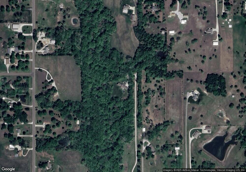
Map
Nearby Homes
- RC Greenfield Plan at Stone Creek
- RC Keswick Plan at Stone Creek
- RC Mitchell Plan at Stone Creek
- RC Baltimore Plan at Stone Creek
- RC Cooper Plan at Stone Creek
- RC Armstrong Plan at Stone Creek
- RC Bridgeport Plan at Stone Creek
- RC Beaumont Plan at Stone Creek
- RC Pickett Plan at Stone Creek
- RC Somerville Plan at Stone Creek
- RC Cypress II Plan at Stone Creek
- 2134 Woodfield Dr
- 2102 Brook Ridge Cir
- 2133 Brook Ridge Cir
- 1950 Jackson Dr
- 440 Rock Creek Dr
- 1940 E Finch Dr
- 2100 Rock Creek Dr
- 2470 Woodfield Dr
- 290 Rawlings Dr
- 20390 Sandusky Rd
- 18600 206th St
- 20326 Sandusky Rd
- 18500 206th St
- 18632 206th St
- 20375 State Ave
- 20319 State Ave
- 20300 Sandusky Rd
- 18591 206th St
- 20261 State Ave
- 18416 206th St
- 18501 206th St
- 20320 Sandusky Rd
- 18629 206th St
- 18561 206th St
- 18527 206th St
- 18477 206th St
- 20343 Sandusky Rd
- 18732 206th St
- 20626 West Dr