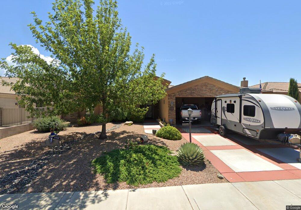
2042 Alan Ladd Dr Kingman, AZ 86409
Estimated Value: $309,000 - $344,000
3
Beds
1
Bath
1,543
Sq Ft
$213/Sq Ft
Est. Value
About This Home
This home is located at 2042 Alan Ladd Dr, Kingman, AZ 86409 and is currently estimated at $328,735, approximately $213 per square foot. 2042 Alan Ladd Dr is a home located in Mohave County with nearby schools including Manzanita Elementary School, Kingman Middle School, and Kingman High School.
Ownership History
Date
Name
Owned For
Owner Type
Purchase Details
Closed on
Mar 30, 2011
Sold by
Cantrell Development Inc
Bought by
Larson Walter C and Larson Nancy L
Current Estimated Value
Home Financials for this Owner
Home Financials are based on the most recent Mortgage that was taken out on this home.
Original Mortgage
$45,000
Outstanding Balance
$31,089
Interest Rate
4.83%
Mortgage Type
New Conventional
Estimated Equity
$297,646
Purchase Details
Closed on
Feb 25, 2011
Sold by
First American Title Insurance Agency Of
Bought by
Cantrell Development Inc
Home Financials for this Owner
Home Financials are based on the most recent Mortgage that was taken out on this home.
Original Mortgage
$45,000
Outstanding Balance
$31,089
Interest Rate
4.83%
Mortgage Type
New Conventional
Estimated Equity
$297,646
Create a Home Valuation Report for This Property
The Home Valuation Report is an in-depth analysis detailing your home's value as well as a comparison with similar homes in the area
Home Values in the Area
Average Home Value in this Area
Purchase History
| Date | Buyer | Sale Price | Title Company |
|---|---|---|---|
| Larson Walter C | $165,000 | First American Title | |
| Cantrell Development Inc | $30,000 | First American Title Insuran |
Source: Public Records
Mortgage History
| Date | Status | Borrower | Loan Amount |
|---|---|---|---|
| Open | Larson Walter C | $45,000 | |
| Previous Owner | Cantrell Development Inc | $30,000 |
Source: Public Records
Tax History Compared to Growth
Tax History
| Year | Tax Paid | Tax Assessment Tax Assessment Total Assessment is a certain percentage of the fair market value that is determined by local assessors to be the total taxable value of land and additions on the property. | Land | Improvement |
|---|---|---|---|---|
| 2026 | -- | -- | -- | -- |
| 2025 | $1,175 | $25,357 | $0 | $0 |
| 2024 | $1,175 | $24,531 | $0 | $0 |
| 2023 | $1,175 | $23,022 | $0 | $0 |
| 2022 | $1,076 | $18,527 | $0 | $0 |
| 2021 | $1,141 | $17,386 | $0 | $0 |
| 2019 | $1,028 | $15,170 | $0 | $0 |
| 2018 | $1,073 | $15,181 | $0 | $0 |
| 2017 | $973 | $14,516 | $0 | $0 |
| 2016 | $936 | $13,552 | $0 | $0 |
| 2015 | $978 | $12,471 | $0 | $0 |
Source: Public Records
Map
Nearby Homes
- 1999 Alan Ladd Dr
- 2131 Alan Ladd Dr
- 2142 Alan Ladd Dr
- 2251 Alan Ladd Dr
- 2232 Alan Ladd Dr
- 2214 Alan Ladd Dr
- 2247 Alan Ladd Dr
- 3937 Rex Allen Dr
- 3940 Rex Allen Dr
- 2117 Rex Allen Dr
- 3963 Rex Allen Cir
- 3962 Rex Allen Cir
- 2085 John Wayne Dr
- 3958 Rex Allen Ct
- 3956 Rex Allen Ct
- 4100 N Skylark Rd
- 3935 Alan Ladd Dr
- 3955 Alan Ladd Dr
- 2115 John Wayne Dr
- 3950 Alan Ladd Dr
- 2036 Alan Ladd Dr
- 2048 Alan Ladd Dr
- 2039 Robert Mitchum Dr
- 2047 Robert Mitchum Dr
- 2033 Robert Mitchum Dr
- 2028 Alan Ladd Dr
- 2058 Alan Ladd Dr
- 2041 Alan Ladd Dr
- 2049 Alan Ladd Dr
- 2035 Alan Ladd Dr
- 2025 Robert Mitchum Dr
- 2053 Robert Mitchum Dr
- 2057 Alan Ladd Dr
- 2027 Alan Ladd Dr
- 2020 Alan Ladd Dr
- 2062 Alan Ladd Dr
- 2019 Robert Mitchum Dr
- 2063 Alan Ladd Dr
- 2042 Robert Mitchum Dr
- 2021 Alan Ladd Dr