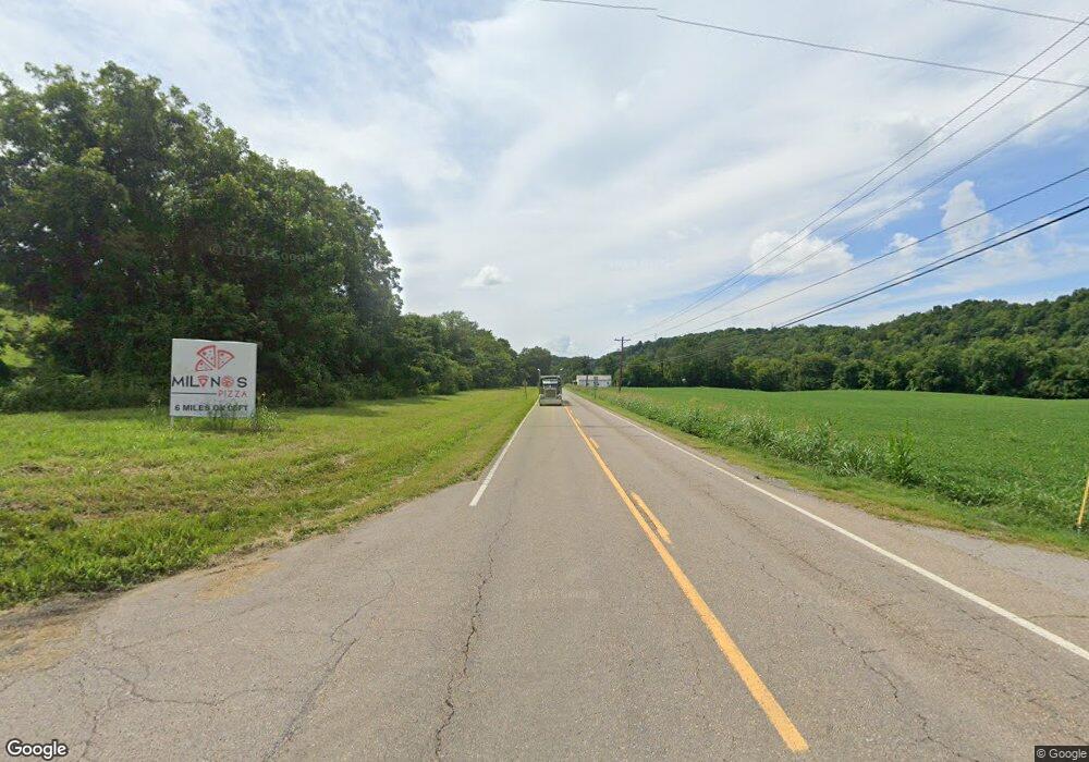
2042 E Highway 25 70 Dandridge, TN 37725
Estimated Value: $106,495 - $207,000
--
Bed
1
Bath
1,008
Sq Ft
$176/Sq Ft
Est. Value
About This Home
This home is located at 2042 E Highway 25 70, Dandridge, TN 37725 and is currently estimated at $177,124, approximately $175 per square foot. 2042 E Highway 25 70 is a home located in Jefferson County.
Ownership History
Date
Name
Owned For
Owner Type
Purchase Details
Closed on
Oct 9, 2012
Sold by
Fields Floyd
Bought by
Fields Nowell
Current Estimated Value
Purchase Details
Closed on
Jul 19, 2005
Sold by
Nowell Fields
Bought by
Floyd Fields
Purchase Details
Closed on
May 20, 2005
Sold by
Federal National Mortgage Association
Bought by
Nowell Fields
Purchase Details
Closed on
Oct 24, 2002
Sold by
Rachael Mcmahan
Bought by
Federal National Mortgage
Purchase Details
Closed on
Aug 4, 2000
Sold by
David Hance
Bought by
Rachael Mcmahan
Purchase Details
Closed on
Jul 23, 1998
Sold by
Hance Charlie R
Bought by
David Hance
Purchase Details
Closed on
Dec 30, 1996
Sold by
Peek Bobby J and Peek Sandra M
Bought by
Charlie Hance
Purchase Details
Closed on
Aug 13, 1991
Bought by
Peek Bobby J and Peek Sandra M
Purchase Details
Closed on
Jul 3, 1990
Bought by
Valentine Earl Wayne and Valentine Margaret
Purchase Details
Closed on
May 29, 1987
Bought by
Frazier Larry and Frazier Trent
Purchase Details
Closed on
Oct 11, 1983
Bought by
Rutherford Robert J
Create a Home Valuation Report for This Property
The Home Valuation Report is an in-depth analysis detailing your home's value as well as a comparison with similar homes in the area
Home Values in the Area
Average Home Value in this Area
Purchase History
| Date | Buyer | Sale Price | Title Company |
|---|---|---|---|
| Fields Nowell | $36,500 | -- | |
| Floyd Fields | $36,500 | -- | |
| Nowell Fields | $36,500 | -- | |
| Federal National Mortgage | $48,300 | -- | |
| Rachael Mcmahan | $50,000 | -- | |
| David Hance | $5,000 | -- | |
| Charlie Hance | $36,500 | -- | |
| Peek Bobby J | -- | -- | |
| Valentine Earl Wayne | -- | -- | |
| Frazier Larry | -- | -- | |
| Rutherford Robert J | -- | -- |
Source: Public Records
Tax History Compared to Growth
Tax History
| Year | Tax Paid | Tax Assessment Tax Assessment Total Assessment is a certain percentage of the fair market value that is determined by local assessors to be the total taxable value of land and additions on the property. | Land | Improvement |
|---|---|---|---|---|
| 2025 | $242 | $23,825 | $7,800 | $16,025 |
| 2023 | $242 | $10,500 | $0 | $0 |
| 2022 | $230 | $10,500 | $3,650 | $6,850 |
| 2021 | $230 | $10,500 | $3,650 | $6,850 |
| 2020 | $230 | $10,500 | $3,650 | $6,850 |
| 2019 | $230 | $10,500 | $3,650 | $6,850 |
| 2018 | $184 | $7,825 | $3,100 | $4,725 |
| 2017 | $184 | $7,825 | $3,100 | $4,725 |
| 2016 | $184 | $7,825 | $3,100 | $4,725 |
| 2015 | $184 | $7,825 | $3,100 | $4,725 |
| 2014 | $184 | $7,825 | $3,100 | $4,725 |
Source: Public Records
Map
Nearby Homes
- 1009 Old Newport Hwy
- 2943 Flicker Ln
- lot 5 Deerwood Dr & Sunset Harbor Dr
- 0 Sunset Harbor Dr Unit 1308337
- Lot 70r Lakeside Ct
- Lot 69 Deerwood Dr
- Lot 5 Deerwood Dr
- Lot 43 Sunset Harbor Dr
- 102 Ridgeline Trail
- 630 Douglas Ridge Dr
- Lot 20 Plantation Point Dr
- 169 Plantation Point Dr
- Lot 92 Harbor Ridge Ln
- 455 Sunset Harbor Dr
- Lot 79 Harbor Ridge Ln
- 843 Clear Sail Way
- 1410 Clear Point Trail
- Lot 72 Clear Point Trail
- Lot 74 Clear Point Trail
- 74 Clear Point Trail
- 2048 E Highway 25 70
- 2049 E Highway 25 70
- 2029 E Highway 25 70
- 2029 E Highway 25 70
- 2056 E Highway 25 70
- 2056 E Highway 25-70
- 2809 Fain Rd
- 2065 E Highway 25 70
- 2068 E Highway 25 70
- 993 Old Newport Hwy
- 997 Old Newport Hwy
- 2817 Fain Rd
- 2077 E Highway 25 70
- 989 Old Newport Hwy
- 1005 Old Newport Hwy
- 982 Old Newport Hwy
- 2081 E Highway 25 70
- 2082 E Highway 25 70
- 986 Old Newport Hwy
- 930 Old Newport Hwy
