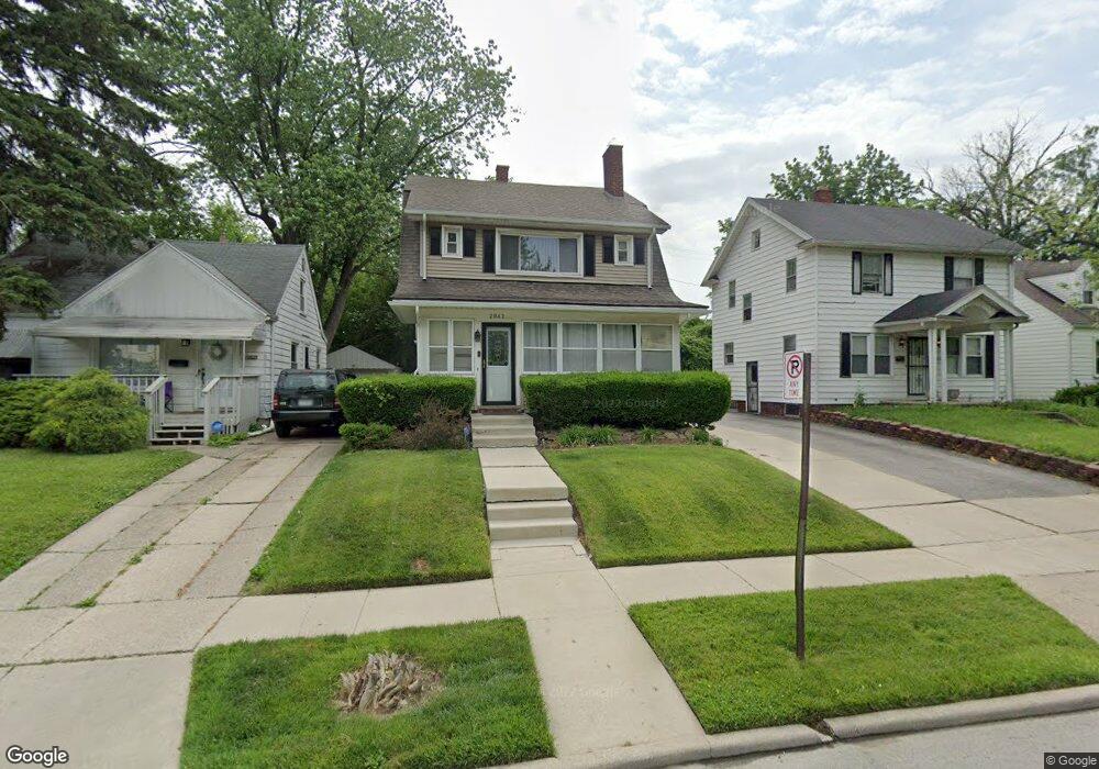
2042 Wyndhurst Rd Toledo, OH 43607
Ottawa NeighborhoodEstimated Value: $104,000 - $127,786
3
Beds
2
Baths
1,695
Sq Ft
$66/Sq Ft
Est. Value
About This Home
This home is located at 2042 Wyndhurst Rd, Toledo, OH 43607 and is currently estimated at $112,197, approximately $66 per square foot. 2042 Wyndhurst Rd is a home located in Lucas County with nearby schools including Old Orchard Elementary School, Start High School, and Central Academy Of Ohio.
Ownership History
Date
Name
Owned For
Owner Type
Purchase Details
Closed on
Jun 30, 2025
Sold by
Robinson Brian C and Robinson Diane
Bought by
Shamaila Chazemba and Shamaila Breanna C
Current Estimated Value
Purchase Details
Closed on
Feb 15, 1989
Sold by
Bartling G A and M A
Create a Home Valuation Report for This Property
The Home Valuation Report is an in-depth analysis detailing your home's value as well as a comparison with similar homes in the area
Home Values in the Area
Average Home Value in this Area
Purchase History
| Date | Buyer | Sale Price | Title Company |
|---|---|---|---|
| Shamaila Chazemba | -- | None Listed On Document | |
| -- | $37,300 | -- |
Source: Public Records
Tax History Compared to Growth
Tax History
| Year | Tax Paid | Tax Assessment Tax Assessment Total Assessment is a certain percentage of the fair market value that is determined by local assessors to be the total taxable value of land and additions on the property. | Land | Improvement |
|---|---|---|---|---|
| 2024 | $897 | $29,190 | $8,155 | $21,035 |
| 2023 | $1,584 | $24,605 | $5,425 | $19,180 |
| 2022 | $1,586 | $24,605 | $5,425 | $19,180 |
| 2021 | $1,623 | $24,605 | $5,425 | $19,180 |
| 2020 | $1,595 | $21,315 | $4,655 | $16,660 |
| 2019 | $1,551 | $21,315 | $4,655 | $16,660 |
| 2018 | $1,564 | $21,315 | $4,655 | $16,660 |
| 2017 | $1,595 | $20,825 | $4,550 | $16,275 |
| 2016 | $1,591 | $59,500 | $13,000 | $46,500 |
| 2015 | $1,575 | $59,500 | $13,000 | $46,500 |
| 2014 | $1,310 | $20,830 | $4,550 | $16,280 |
| 2013 | $1,310 | $20,830 | $4,550 | $16,280 |
Source: Public Records
Map
Nearby Homes
- 2127 Perth St
- 2547 Greenway St
- 2019 Kensington Rd
- 2003 Farnham Rd
- 1771 Kensington Rd
- 1735 Perth St
- 2041 Richmond Rd
- 1423 Roosevelt Ave
- 2310 Goddard Rd
- 1723 Potomac Dr
- 1329 Parkside Blvd
- 2000 Oakwood Ave
- 2627 Latonia Blvd
- 1929 Foster Ave
- 1513 Waverly Ave
- 2145 Dorr St
- 2334 Torrey Hill Dr
- 2340 Torrey Hill Dr
- 1318 Addington Rd
- 2033 Crosswell Place
- 2040 Wyndhurst Rd
- 2046 Wyndhurst Rd
- 2034 Wyndhurst Rd
- 2039 Alvin St
- 2030 Wyndhurst Rd
- 2030 Wyndhurst Rd Unit Lower
- 2054 Wyndhurst Rd
- 2047 Alvin St
- 2035 Alvin St
- 2051 Alvin St
- 2031 Alvin St
- 2047 Wyndhurst Rd
- 2026 Wyndhurst Rd
- 2039 Wyndhurst Rd
- 2055 Alvin St
- 2051 Wyndhurst Rd
- 2062 Wyndhurst Rd
- 2035 Wyndhurst Rd
- 2025 Alvin St
- 2022 Wyndhurst Rd