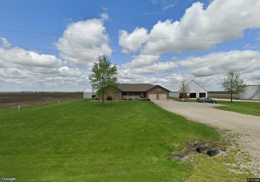
2043 Highway 16 West Point, IA 52656
Estimated Value: $240,000 - $348,373
3
Beds
4
Baths
1,902
Sq Ft
$154/Sq Ft
Est. Value
About This Home
This home is located at 2043 Highway 16, West Point, IA 52656 and is currently estimated at $293,593, approximately $154 per square foot. 2043 Highway 16 is a home located in Lee County with nearby schools including Fort Madison High School and Holy Trinity Catholic Elementary-St. Paul.
Create a Home Valuation Report for This Property
The Home Valuation Report is an in-depth analysis detailing your home's value as well as a comparison with similar homes in the area
Home Values in the Area
Average Home Value in this Area
Tax History Compared to Growth
Tax History
| Year | Tax Paid | Tax Assessment Tax Assessment Total Assessment is a certain percentage of the fair market value that is determined by local assessors to be the total taxable value of land and additions on the property. | Land | Improvement |
|---|---|---|---|---|
| 2024 | $3,932 | $316,850 | $22,700 | $294,150 |
| 2023 | $3,892 | $316,850 | $22,700 | $294,150 |
| 2022 | $2,976 | $234,280 | $22,700 | $211,580 |
| 2021 | $2,976 | $234,280 | $22,700 | $211,580 |
| 2020 | $2,954 | $217,190 | $24,060 | $193,130 |
| 2019 | $2,870 | $217,190 | $24,060 | $193,130 |
| 2018 | $2,956 | $205,340 | $0 | $0 |
| 2017 | $2,956 | $195,470 | $0 | $0 |
| 2016 | $2,690 | $195,470 | $0 | $0 |
| 2015 | $2,690 | $193,410 | $0 | $0 |
| 2014 | $2,708 | $193,410 | $0 | $0 |
Source: Public Records
Map
Nearby Homes
- 1794 150th St
- 1847 Salem Rd
- 2280 Windmill Way
- 811 Avenue C
- 607 Bel Air Dr
- 3035 New London Rd
- 307 E School St
- 00 180th St
- 2532 305th St
- 2257 Burt Rd
- 2370 290th St
- 2928 Graham Ave
- 2113 204th Ave
- 2667 Lexington Ave
- 19774 Country Road 79
- 1405 Primrose Rd
- 808 Park St
- 603 Fruit St
- 808 Pershing St
- 720 Pershing St