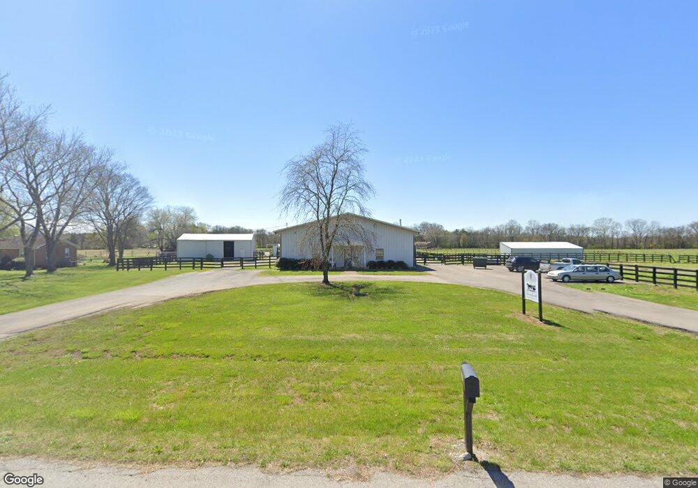
2043 Highway 64 Lewisburg, TN 37091
--
Bed
1
Bath
7,280
Sq Ft
18.87
Acres
About This Home
This home is located at 2043 Highway 64, Lewisburg, TN 37091. 2043 Highway 64 is a home located in Marshall County with nearby schools including Oak Grove Elementary School, Marshall Elementary School, and Westhills Elementary School.
Ownership History
Date
Name
Owned For
Owner Type
Purchase Details
Closed on
May 14, 2021
Sold by
Baker Randall T
Bought by
Providence Land & Livestock Llc
Home Financials for this Owner
Home Financials are based on the most recent Mortgage that was taken out on this home.
Original Mortgage
$467,500
Outstanding Balance
$66,593
Interest Rate
3.1%
Mortgage Type
Commercial
Purchase Details
Closed on
Jan 7, 2021
Sold by
Baker Randall T and Baker Kathy M
Bought by
Baker Randall T
Purchase Details
Closed on
Jun 19, 2018
Sold by
Baker Randall T
Bought by
Gomez Ruiz Amapola Farias and Gomez Ocampo Javier
Purchase Details
Closed on
Feb 14, 2017
Sold by
Baker Randall T
Bought by
Baker Randall T and Baker Kathy M
Purchase Details
Closed on
Jul 16, 2003
Sold by
Wilhelm and Kristin
Bought by
Baker Randall T
Purchase Details
Closed on
Mar 7, 2002
Sold by
Baker Randall T and Baker Kathy
Bought by
Richard Wilhelm
Create a Home Valuation Report for This Property
The Home Valuation Report is an in-depth analysis detailing your home's value as well as a comparison with similar homes in the area
Home Values in the Area
Average Home Value in this Area
Purchase History
| Date | Buyer | Sale Price | Title Company |
|---|---|---|---|
| Providence Land & Livestock Llc | $550,000 | First Commerce Title | |
| Baker Randall T | -- | None Available | |
| Gomez Ruiz Amapola Farias | -- | -- | |
| Baker Randall T | -- | -- | |
| Baker Randall T | -- | -- | |
| Richard Wilhelm | $98,436 | -- |
Source: Public Records
Mortgage History
| Date | Status | Borrower | Loan Amount |
|---|---|---|---|
| Open | Providence Land & Livestock Llc | $467,500 |
Source: Public Records
Tax History Compared to Growth
Tax History
| Year | Tax Paid | Tax Assessment Tax Assessment Total Assessment is a certain percentage of the fair market value that is determined by local assessors to be the total taxable value of land and additions on the property. | Land | Improvement |
|---|---|---|---|---|
| 2024 | $1,000 | $55,000 | $11,920 | $43,080 |
| 2023 | $1,000 | $55,000 | $11,920 | $43,080 |
| 2022 | $1,000 | $55,000 | $11,920 | $43,080 |
| 2021 | $1,480 | $52,640 | $4,080 | $48,560 |
| 2020 | $1,480 | $52,640 | $4,080 | $48,560 |
| 2019 | $1,480 | $52,640 | $4,080 | $48,560 |
| 2018 | $1,428 | $51,720 | $4,080 | $47,640 |
| 2017 | $1,428 | $51,720 | $4,080 | $47,640 |
| 2016 | $1,945 | $60,400 | $4,000 | $56,400 |
| 2015 | $1,945 | $60,400 | $4,000 | $56,400 |
| 2014 | $1,945 | $60,400 | $4,000 | $56,400 |
Source: Public Records
Map
Nearby Homes
- 2150 Highway 40
- 2001 Highway 40
- 2220 Hunter Bills Rd
- 1798 Twin Caves Dr
- 3077 Nashville Hwy
- 3130 Nashville Hwy
- 1820 Wade Brown Rd
- 2309 Hunter Rd
- 2624 Highway 64
- 2109 Mae Ln
- 1816 Wade Brown Rd
- 2373 Phillips Rd
- 3293 Nashville Hwy
- 0 Wallace Thompson Rd
- 1830 Bethbirei Rd
- 2555 Bob Cheek Rd
- 3327 Nashville Hwy
- 2137 Horton Way
- 1510 Wade Brown Rd
- 1755 Mcbride Rd
- 2043 Highway 64
- 2055 Highway 64
- 2063 Highway 64
- 2104 Highway 64
- 1960 Belfast Farmington Rd
- 1947 Belfast Farmington Rd
- 2000 Belfast Farmington Rd
- 2010 Belfast Farmington Rd
- 2009 Belfast Farmington Rd
- 2140 Highway 40
- 2136 Highway 40
- 2118 Highway 40
- 2110 Highway 40
- 2137 Highway 40
- 2143 Highway 40
- 2113 Highway 40
- 2167 Highway 40
- 1919 Belfast Farmington Rd
- 1920 Belfast Farmington Rd
- 2675 Nashville Hwy