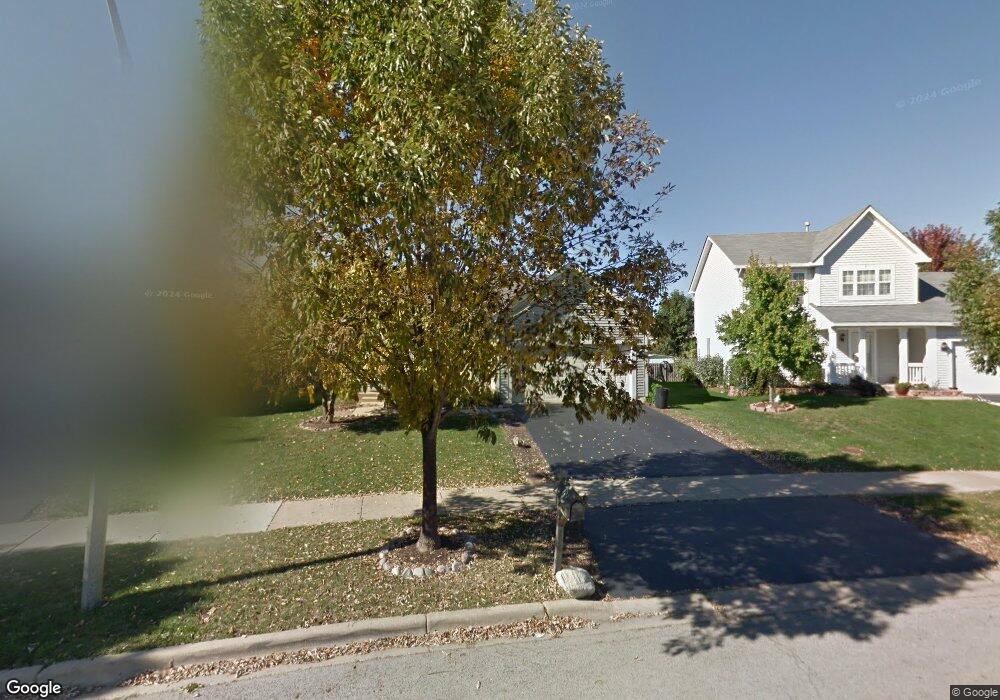
2043 Matthew Dr Montgomery, IL 60538
South Montgomery NeighborhoodEstimated Value: $299,000 - $330,000
3
Beds
2
Baths
1,080
Sq Ft
$288/Sq Ft
Est. Value
About This Home
This home is located at 2043 Matthew Dr, Montgomery, IL 60538 and is currently estimated at $311,040, approximately $288 per square foot. 2043 Matthew Dr is a home located in Kendall County with nearby schools including Lakewood Creek Elementary School, Thompson Jr. High School, and Oswego High School.
Ownership History
Date
Name
Owned For
Owner Type
Purchase Details
Closed on
Jul 16, 2004
Sold by
Monraz Alfonso and Monraz Irma
Bought by
Delgado Antonio and Osornio Fabiola
Current Estimated Value
Home Financials for this Owner
Home Financials are based on the most recent Mortgage that was taken out on this home.
Original Mortgage
$173,700
Outstanding Balance
$91,446
Interest Rate
7.05%
Mortgage Type
Purchase Money Mortgage
Estimated Equity
$219,594
Purchase Details
Closed on
Oct 17, 2001
Sold by
Lakewood Creek Llc
Bought by
Monraz Alfonso and Maldonado Maria Raquel
Home Financials for this Owner
Home Financials are based on the most recent Mortgage that was taken out on this home.
Original Mortgage
$142,500
Interest Rate
6.92%
Mortgage Type
FHA
Create a Home Valuation Report for This Property
The Home Valuation Report is an in-depth analysis detailing your home's value as well as a comparison with similar homes in the area
Home Values in the Area
Average Home Value in this Area
Purchase History
| Date | Buyer | Sale Price | Title Company |
|---|---|---|---|
| Delgado Antonio | $193,000 | Multiple | |
| Monraz Alfonso | $156,000 | Chicago Title Insurance Co |
Source: Public Records
Mortgage History
| Date | Status | Borrower | Loan Amount |
|---|---|---|---|
| Open | Delgado Antonio | $173,700 | |
| Previous Owner | Monraz Alfonso | $142,500 |
Source: Public Records
Tax History Compared to Growth
Tax History
| Year | Tax Paid | Tax Assessment Tax Assessment Total Assessment is a certain percentage of the fair market value that is determined by local assessors to be the total taxable value of land and additions on the property. | Land | Improvement |
|---|---|---|---|---|
| 2024 | $6,842 | $89,366 | $13,302 | $76,064 |
| 2023 | $6,090 | $79,954 | $11,901 | $68,053 |
| 2022 | $6,090 | $71,974 | $10,804 | $61,170 |
| 2021 | $5,861 | $67,443 | $10,804 | $56,639 |
| 2020 | $5,632 | $64,232 | $10,804 | $53,428 |
| 2019 | $5,473 | $61,767 | $10,389 | $51,378 |
| 2018 | $5,162 | $57,563 | $10,389 | $47,174 |
| 2017 | $4,971 | $52,509 | $10,389 | $42,120 |
| 2016 | $4,731 | $49,282 | $10,389 | $38,893 |
| 2015 | $4,099 | $41,533 | $9,354 | $32,179 |
| 2014 | -- | $40,001 | $9,354 | $30,647 |
| 2013 | -- | $40,001 | $9,354 | $30,647 |
Source: Public Records
Map
Nearby Homes
- 2257 Rebecca Cir
- 2092 William Dr
- 2302 Rebecca Cir Unit 4
- 2286 Margaret Dr
- 2891 Frances Ln
- 2007 Chad Ct
- 2371 Mayfield Dr
- 1745 Lyndale Rd
- 2906 Meadowview Ln
- 2930 Heather Ln Unit 1
- 2904 Shetland Ln
- 1722 Newport Ln
- 2437 Deer Point Dr
- 3026 Gaylord Ln
- 2212 Gallant Fox Cir Unit 702
- 3014 Shetland Ln
- 2524 Prairie Crossing Dr
- 2326 Brentwood Ave
- Aruba Cove with Full Basement Plan at The Colonies at Grande Reserve - Grande Reserve Ranch Homes
- Cayman Isle with Full Basement Plan at The Colonies at Grande Reserve - Grande Reserve Ranch Homes
- 2039 Matthew Dr
- 2047 Matthew Dr Unit 1
- 2747 Jenna Cir Unit 1
- 2751 Jenna Cir Unit 1
- 2035 Matthew Dr Unit 1
- 2747 Jenna Cir
- 2051 Matthew Dr Unit 1
- 2741 Jenna Cir Unit 1
- 2735 Jenna Cir Unit 1
- 2757 Jenna Cir Unit 1
- 2727 Jenna Cir
- 2040 Matthew Dr
- 2761 Jenna Cir Unit 1
- 2761 Jenna Cir
- 2050 Matthew Dr Unit 1
- 2031 Matthew Dr Unit 1
- 2055 Matthew Dr
- 2723 Jenna Cir
- 2765 Jenna Cir
- 2032 Matthew Dr Unit 1