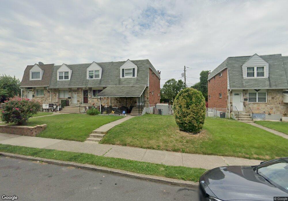
2044 Baker Dr Allentown, PA 18103
Southside NeighborhoodEstimated Value: $141,000 - $226,000
3
Beds
2
Baths
1,152
Sq Ft
$150/Sq Ft
Est. Value
About This Home
This home is located at 2044 Baker Dr, Allentown, PA 18103 and is currently estimated at $172,337, approximately $149 per square foot. 2044 Baker Dr is a home located in Lehigh County with nearby schools including Hiram W Dodd Elementary School, San Rafael Junior High School, and South Mountain Middle School.
Ownership History
Date
Name
Owned For
Owner Type
Purchase Details
Closed on
Dec 6, 2024
Sold by
Trammell Amanda
Bought by
Mitchell Ilajaha
Current Estimated Value
Home Financials for this Owner
Home Financials are based on the most recent Mortgage that was taken out on this home.
Original Mortgage
$126,000
Interest Rate
6.85%
Mortgage Type
New Conventional
Purchase Details
Closed on
Jul 31, 2003
Sold by
Schlosser Michael F and Schlosser Vickie L
Bought by
Trammell Bennie and Trammell Amanda
Purchase Details
Closed on
Nov 30, 1988
Sold by
Lehrman Michael J and Lehrman Debra A
Bought by
Schlosser Michael F and Schlosser Vickie L
Purchase Details
Closed on
Dec 27, 1985
Sold by
Gemmell Robert R and Gemmell Kathryn M
Bought by
Lehrman Michael J and Lehrman Debra A
Purchase Details
Closed on
Jan 12, 1979
Bought by
Gemmell Robert R and Gemmell Kathryn M
Create a Home Valuation Report for This Property
The Home Valuation Report is an in-depth analysis detailing your home's value as well as a comparison with similar homes in the area
Home Values in the Area
Average Home Value in this Area
Purchase History
| Date | Buyer | Sale Price | Title Company |
|---|---|---|---|
| Mitchell Ilajaha | $138,000 | None Listed On Document | |
| Trammell Bennie | $79,900 | -- | |
| Schlosser Michael F | $78,900 | -- | |
| Lehrman Michael J | $46,000 | -- | |
| Gemmell Robert R | $35,900 | -- |
Source: Public Records
Mortgage History
| Date | Status | Borrower | Loan Amount |
|---|---|---|---|
| Previous Owner | Mitchell Ilajaha | $126,000 |
Source: Public Records
Tax History Compared to Growth
Tax History
| Year | Tax Paid | Tax Assessment Tax Assessment Total Assessment is a certain percentage of the fair market value that is determined by local assessors to be the total taxable value of land and additions on the property. | Land | Improvement |
|---|---|---|---|---|
| 2025 | $3,128 | $94,200 | $11,500 | $82,700 |
| 2024 | $3,128 | $94,200 | $11,500 | $82,700 |
| 2023 | $3,128 | $94,200 | $11,500 | $82,700 |
| 2022 | $3,021 | $94,200 | $82,700 | $11,500 |
| 2021 | $2,962 | $94,200 | $11,500 | $82,700 |
| 2020 | $2,886 | $94,200 | $11,500 | $82,700 |
| 2019 | $2,840 | $94,200 | $11,500 | $82,700 |
| 2018 | $2,642 | $94,200 | $11,500 | $82,700 |
| 2017 | $2,576 | $94,200 | $11,500 | $82,700 |
| 2016 | -- | $94,200 | $11,500 | $82,700 |
| 2015 | -- | $94,200 | $11,500 | $82,700 |
| 2014 | -- | $94,200 | $11,500 | $82,700 |
Source: Public Records
Map
Nearby Homes
- 642 W Emaus Ave
- 566 W Emaus Ave
- 566 588 W Emaus Ave
- 2401 S Church St
- 2343 S 9th St
- 2413 S Church St
- 2347 S Law St Unit 2349
- 1831 S Church St
- 2416 S Alice St Unit 2418
- 2531 S Carbon St
- 1066 Devonshire Rd Unit 1068
- 206 208 W Emaus Ave
- 2449 S Howard St Unit Rear
- 2441 S 4th St
- 618 Clifford St
- 2157 S Poplar St
- 1852 S 2nd St
- 203 W Brookdale St
- 316 W Mountain Rd
- 148 W Brookdale St
- 2046 Baker Dr
- 2048 Baker Dr
- 2050 Baker Dr
- 2040 Baker Dr
- 2038 Baker Dr
- 2036 Baker Dr
- 2051 S Delaware St
- 2034 Baker Dr
- 2049 S Delaware St
- 2016 S Hall St
- 2047 S Delaware St
- 2032 Baker Dr
- 2045 S Delaware St
- 2014 S Hall St
- 2043 S Delaware St
- 2045 Baker Dr
- 2047 Baker Dr
- 2012 S Hall St
- 2041 S Delaware St
- 2049 Baker Dr