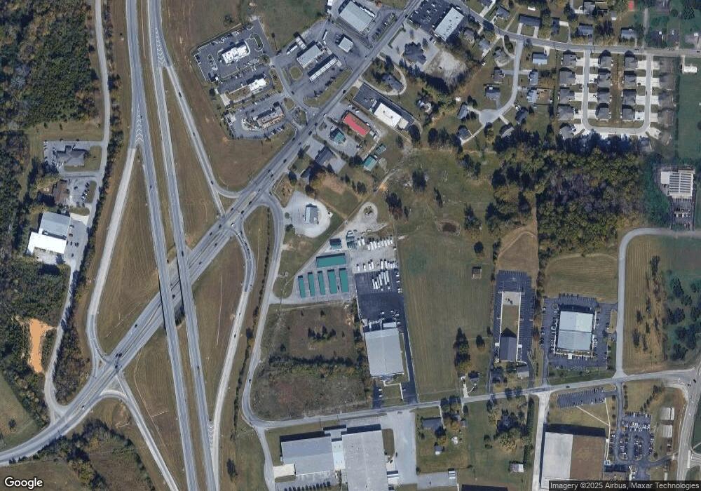
2044 Burton Branch Rd Cookeville, TN 38506
Estimated Value: $258,000 - $1,576,997
--
Bed
1
Bath
962
Sq Ft
$954/Sq Ft
Est. Value
About This Home
This home is located at 2044 Burton Branch Rd, Cookeville, TN 38506 and is currently estimated at $917,499, approximately $953 per square foot. 2044 Burton Branch Rd is a home with nearby schools including Algood Elementary School, Algood Middle School, and Cookeville High School.
Ownership History
Date
Name
Owned For
Owner Type
Purchase Details
Closed on
Jun 27, 2023
Sold by
Williams Janice C
Bought by
Williams Roger D
Current Estimated Value
Purchase Details
Closed on
Jun 5, 2019
Sold by
Williams Roger D
Bought by
Williams Roger D and Williams Janice Carol
Purchase Details
Closed on
Dec 17, 2002
Bought by
Schinkai John and Schinkai Kim
Purchase Details
Closed on
Jan 1, 1985
Bought by
W R Whitaker Company Inc
Create a Home Valuation Report for This Property
The Home Valuation Report is an in-depth analysis detailing your home's value as well as a comparison with similar homes in the area
Home Values in the Area
Average Home Value in this Area
Purchase History
| Date | Buyer | Sale Price | Title Company |
|---|---|---|---|
| Williams Roger D | -- | None Listed On Document | |
| Williams Roger D | -- | -- | |
| Schinkai John | $31,000 | -- | |
| W R Whitaker Company Inc | $24,000 | -- |
Source: Public Records
Tax History Compared to Growth
Tax History
| Year | Tax Paid | Tax Assessment Tax Assessment Total Assessment is a certain percentage of the fair market value that is determined by local assessors to be the total taxable value of land and additions on the property. | Land | Improvement |
|---|---|---|---|---|
| 2024 | $11,353 | $426,800 | $135,360 | $291,440 |
| 2023 | $11,353 | $426,800 | $135,360 | $291,440 |
| 2022 | $10,556 | $372,440 | $135,360 | $237,080 |
| 2021 | $8,392 | $296,080 | $135,360 | $160,720 |
| 2020 | $6,125 | $296,080 | $135,360 | $160,720 |
| 2019 | $7,047 | $209,320 | $61,760 | $147,560 |
| 2018 | $6,737 | $209,320 | $61,760 | $147,560 |
| 2017 | $6,737 | $209,320 | $61,760 | $147,560 |
| 2016 | $6,786 | $209,320 | $61,760 | $147,560 |
| 2015 | $6,944 | $209,320 | $61,760 | $147,560 |
| 2014 | $7,287 | $219,674 | $0 | $0 |
Source: Public Records
Map
Nearby Homes
- 1460 Barnes Dr
- 114 Thompson Ln
- 755 Fireside Dr
- 1799 Fairway Dr
- 372 Brookside Dr
- 1665 Bilbrey Park Dr
- 1520 Randy Dr
- 475 Laurel Park Cir
- 2818 Oak Haven Place
- 152 Lane Ave
- 42 A&B Eastgate Cir
- 292 Williams Cir
- 1805 Birdie Ct
- 1583 Wingfoot Ct
- 1581 Wingfoot Ct
- 1623 Bobby Nichols Dr
- 1281 E 10th St
- 146 Dry Valley Rd
- 2108 Boxwood Cir
- 2010 Burton Branch Rd
- 2106 Burton Branch Rd
- 670 W Main St
- 660 W Main St
- 656 W Main St
- 652 W Main St
- 2027 Burton Branch Rd
- 6.04 Ac Burton Branch Rd
- Lot 2 Burton Branch Rd
- LOT 1 Burton Branch Rd
- LOT 5 Burton Branch Rd
- 2208 Burton Branch Rd
- 2147 Burton Branch Rd
- 2226 Burton Branch Rd
- 628 Clifton Ln
- 626 W Main St
- 2238 Burton Branch Rd
- 630 Clifton Ln
- 635 W Main St
- 2235 Burton Branch Rd
